 |
|
| Skardu Airport |
 |
| IATA: KDU – ICAO: OPSD |
| Summary |
| Airport type |
Military/Public |
| Operator |
Pakistan Civil Aviation Authority |
| Location |
Skardu |
| Elevation AMSL |
7,316 ft / 2,230 m |
| Coordinates |
35°20′08″N 075°32′10″E / 35.33556°N 75.53611°E / 35.33556; 75.53611Coordinates: 35°20′08″N 075°32′10″E / 35.33556°N 75.53611°E / 35.33556; 75.53611 |
| Runways |
| Direction |
Length |
Surface |
| ft |
m |
| 14/32 |
11,944 |
3,641 |
Asphalt |
| 15/33 |
6,501 |
1,982 |
Asphalt |
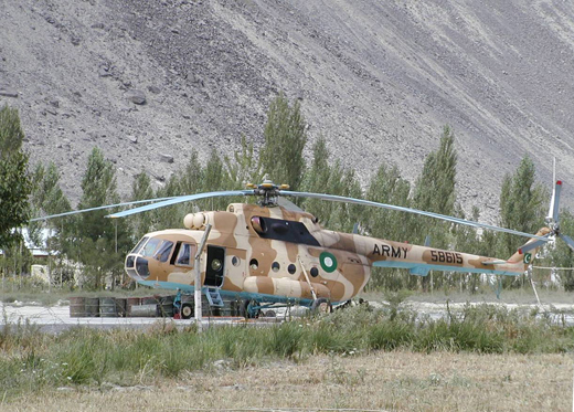
Skardu Airport (IATA: KDU, ICAO: OPSD) is a small domestic airport, located at Skardu, Northern Areas, Pakistan. Skardu is one of the two major hubs of all trekking expeditions in the Northern Areas, a region that includes four of the fourteen Eight-thousander peaks (8,000 m (26,247 ft) and above) of the world. Skardu is the gateway to Baltoro Glacier, Concordia, where spectacular views of three of the Eight-thousanders are available.It is also being used as a regional PAF airbase.
Although the journey from Islamabad to Skardu by Karakoram Highway provides a beautiful scenery, the journey by road takes 20 to 24 hours whereas the flight time for the same journey is nearly 50 minutes. This makes air travel from Islamabad to Skardu an attractive choice for many trekkers.
Airlines and destinations
| Airlines |
Destinations |
| Pakistan International Airlines |
Gilgit, Islamabad |
Skardu is the only airport in Pakistan which gets only jet Boeing 737 aircraft, flights are depending heavily on weather conditions and are often canceled at any time and resumed on short notice.
The above content comes from Wikipedia and is published under free licenses – click here to read more.
| General Info
|
| Country |
Pakistan
|
| ICAO ID |
OPSD
|
| Time |
UTC+5(+6DT)
|
| Latitude |
35.335508
35° 20' 07.83" N
|
| Longitude |
75.536047
075° 32' 09.77" E
|
| Elevation |
7316 feet
2230 meters
|
| Magnetic Variation |
002° E (01/06)
|
| Operating Agency |
CIVIL GOVERNMENT, (LANDING FEES AND DIPLOMATIC CLEARANCE MAY BE REQUIRED)
|
| Operating Hours |
SUNRISE TO SUNSET (SR-SS)
|
| Communications
|
TWR
BY NOTAM
|
119.7
250.7
|
| RDO |
2923
5601
|
TWR
BY NOTAM
|
121.8
|
| Runways
|
| ID |
Dimensions |
Surface |
PCN |
ILS
|
| 14/32 |
11944 x 100 feet
3641 x 30 meters |
ASPHALT |
040RCXT |
NO
|
| 15/33 |
6501 x 101 feet
1982 x 31 meters |
ASPHALT |
015FCYT |
NO
|
| Navaids
|
| Type |
ID |
Name |
Channel |
Freq |
Distance From Field |
Bearing From Navaid
|
| NDB |
SD |
SKARDU |
- |
247 |
At Field |
-
|
| Supplies/Equipment
|
| Fuel |
Unknown fuel type or whether there is any fuel.
|
| Remarks
|
| OPR HOURS |
Opr SR-SS.
|
The content above was published at Airports-Worldwide.com in 2010.
We don't guarantee the information is fresh and accurate. The data may be wrong or outdated.
For more up-to-date information please refer to other sources.
|
|


