|
 |
|
||||
|
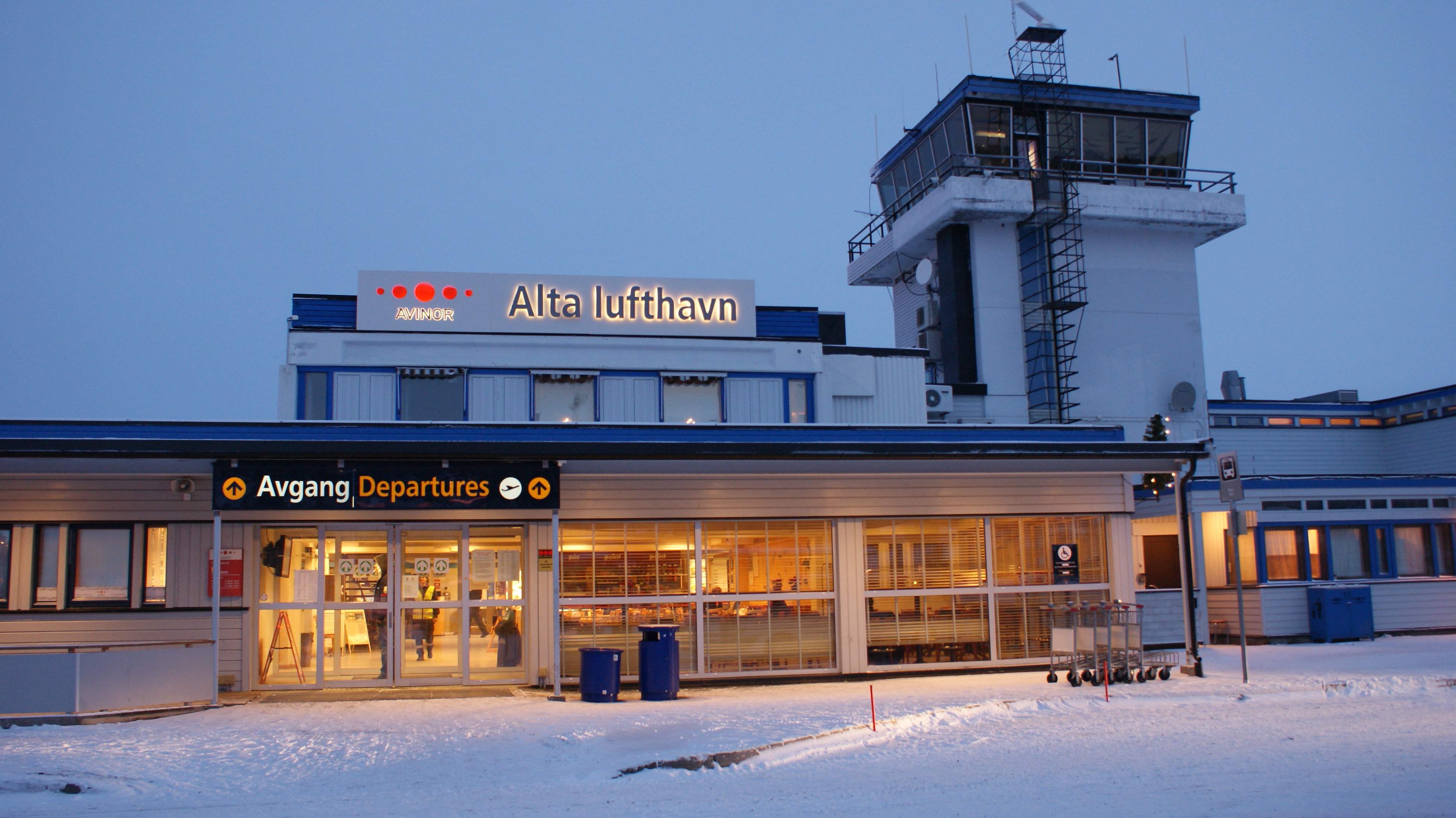
Alta Airport ((IATA: ALF, ICAO: ENAT), Norwegian: Alta lufthavn) is the airport of Alta, Norway. It is located 1 NM (1.9 km; 1.2 mi) east or about 6 km (3.7 mi) northeast of the town center of Alta, near the community Elvebakken on the southern shore of the Altafjord. The airport served 416,272 passengers in 2006, an increase from 351,537 in 2005—making it the most heavily trafficked airport in Finnmark. The airport has a single paved 2,088 m (6,850 ft) runway. Ground transport is handled by bus and taxi. The government-owned Avinor is responsible for operations. The airport works as a semi-hub for operations in the SAS Group with many connections to regional airports in Finnmark as well as jet operations to Oslo. There are plans for construction of a new airport terminal. In the current layout the planes park too close to the runway according to the newer safety regulations. The current authorization expired in 2008.
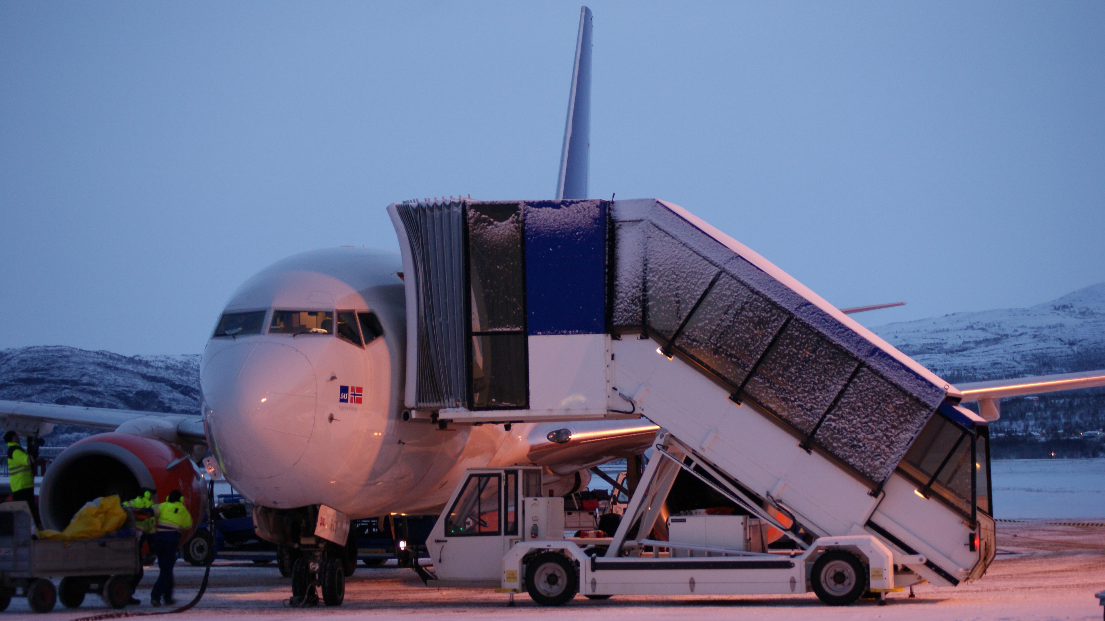
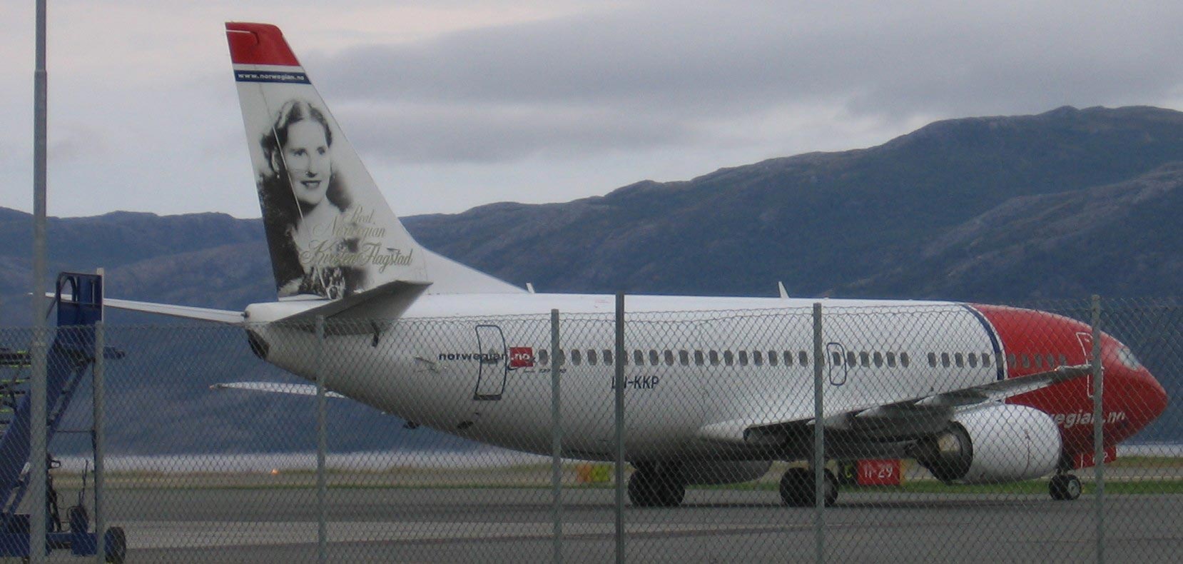
HistoryThe airport was opened 3 May 1963, at the same time as Banak Airport in Lakselv and Høybuktmoen Airport in Kirkenes. For many years the only airline to serve Alta was Scandinavian Airlines, which operated routes to Tromsø and Oslo. Originally the airplanes serving Alta were Convair CV-440 Metropolitan propeller planes, while Douglas DC-9 jet aircraft were introduced in 1969, and McDonnell Douglas MD-80 aircraft in 1986. When the new regional STOL routes in Finnmark were opened in 1974, Alta was serviced by Widerøe's Twin Otter aircraft. In 1990, Scandinavian changed their operation procedures in Finnmark, making Alta a hub with flights from other towns into Alta and flights to Oslo by jet aircraft. The spike routes were operated with 50 seat Fokker 50 aircraft by SAS Commuter. In 2002, after Scandinavian acquired Braathens, Braathens took over Scandinavian's routes. The two airlines were merged in 2005. In 2003, Widerøe took over SAS Commuter's routes from Alta. Norwegian Air Shuttle operates low-cost flights to its hub at Oslo Airport, Gardermoen.
|
|||||||||||||||||||||||||||||||||||||||||||||||||||||||||||||||||||||||||||||||||||||||||||||||||||||||||||||||||||||||||||||||||||||
| General Info | |
|---|---|
| Country | Norway |
| ICAO ID | ENAT |
| Time | UTC+1(+2DT) |
| Latitude | 69.976111 69° 58' 34.00" N |
| Longitude | 23.371667 023° 22' 18.00" E |
| Elevation | 9 feet 3 meters |
| Type | Civil |
| Magnetic Variation | 009° E (01/06) |
| Operating Agency | CIVIL GOVERNMENT, (LANDING FEES AND DIPLOMATIC CLEARANCE MAY BE REQUIRED) |
| Operating Hours | NO OPERATING HOURS LISTED |
| Daylight Saving Time | Last Sunday in March to last Sunday in October |
| Communications | |
|---|---|
| TWR | 118.1
120.4 |
| ATIS Opr 0600-2200Z++ Mon-Fri, 0600-1300Z++ Sat, 1300-2200Z++ Sun. |
118.175 |
| Runways | ||||
|---|---|---|---|---|
| ID | Dimensions | Surface | PCN | ILS |
| 11/29 | 7165 x 131 feet 2184 x 40 meters |
ASPHALT | 040FBXU | YES |
| Navaids | ||||||
|---|---|---|---|---|---|---|
| Type | ID | Name | Channel | Freq | Distance From Field | Bearing From Navaid |
| VOR-DME | ATA | ALTA | 121X | 117.4 | At Field | - |
| NDB | ALA | ALTA | - | 358 | 1.9 NM | 112.7 |
| Supplies/Equipment | |
|---|---|
| Fuel | Jet A1, without icing nhibitor. 100/130 MIL Spec, low lead, aviation gasoline (BLUE) |
| Other Fluids | DE-ICE, Anti-icing/De-icing/Defrosting Fluid (MIL A 8243) |
| Remarks | |
|---|---|
| CAUTION | Windshear and eddies may occur on short final, especially to Rwy 11. |
| CSTMS/IMG | Avbl 0700-1430Z++ Mon-Fri, PN 4 hr. |
| FLUID | De-Ice avbl 0530-2230Z++ Mon-Fri, 0530-1430Z++ Sat, 1230-2230Z++ Sun. |
| FUEL | Avbl 0530-1430Z++, 1545-1745Z++ Mon-Fri; 1745-1950Z++ Fri; 0530-0700Z++, 1000-1400Z++ Sat; 1225-2000Z++ Sun. (NC-80, 100LL, A1) |
| LGT | PAPI Rwy 29 GS 4.2 , is offset 5 N of RCL and use rstd to or inside cir lgt. Cir lgt N of arpt CW to Rwy 29. |
| MISC | Ldg fees. |
| RWY | Rwy 11 LDA 6073', TORA 6749'. Rwy 29 LDA 6257', TORA 6355'. |
The content above was published at Airports-Worldwide.com in 2009.
We don't guarantee the information is fresh and accurate. The data may be wrong or outdated.
For more up-to-date information please refer to other sources.

 |
|
Copyright 2004-2026 © by Airports-Worldwide.com, Vyshenskoho st. 36, Lviv 79010, Ukraine Legal Disclaimer |