 |
|
| Guanajuato International Airport |
 |
| IATA: BJX – ICAO: MMLO |
| Summary |
| Airport type |
Public |
| Operator |
Grupo Aeroportuario del Pacifico |
| Serves |
Silao,León,Irapuato y Guanajuato |
| Location |
Silao, Guanajuato |
| Elevation AMSL |
5,956 ft / 1,815 m |
| Coordinates |
20°59′36″N 101°28′51″W / 20.99333°N 101.48083°W / 20.99333; -101.48083Coordinates: 20°59′36″N 101°28′51″W / 20.99333°N 101.48083°W / 20.99333; -101.48083 |
| Runways |
| Direction |
Length |
Surface |
| ft |
m |
| 13/31 |
11,480 |
3,499 |
Asphalt |
| Statistics (2009) |
| Total Passengers |
886,100 |
| Source: Grupo Aeroportuario del Pacífico |
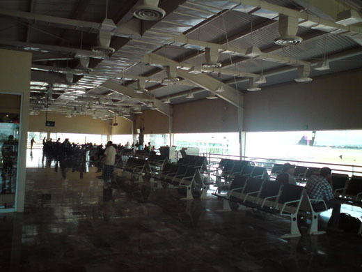
Del Bajío International Airport (its correct name is Aeropuerto Internacional de Guanajuato (Guanajuato International Airport)) (IATA: BJX, ICAO: MMLO) is an international airport located in Silao, Guanajuato, close to León, Guanajuato, Mexico. It handles national and international air traffic of the area that includes the city of León and the state capital, Guanajuato. Guanajuato International Airport is an important connecting point for some flights from Mexico City to the United States. The general interior director announce plans to build a cargo terminal and for the construction of a second runway. Airlines and destinations
| Airlines |
Destinations |
| Aeromar |
Mexico City |
| Aeroméxico |
Tijuana |
| Aeroméxico Connect |
Ciudad Juárez, Los Ángeles , Mexico City, Monterrey |
| American Eagle |
Dallas/Fort Worth |
| Continental Express operated by ExpressJet Airlines |
Houston-Intercontinental |
| VivaAerobus |
Monterrey |
| Volaris |
Tijuana |
Cargo Terminal
Under Construction
The above content comes from Wikipedia and is published under free licenses – click here to read more.
| General Info
|
| Country |
Mexico
|
| ICAO ID |
MMLO
|
| Time |
UTC-6(-5DT)
|
| Latitude |
20.993464
20° 59' 36.47" N
|
| Longitude |
-101.480847
101° 28' 51.05" W
|
| Elevation |
5956 feet
1815 meters
|
| Type |
Civil
|
| Magnetic Variation |
007° E (01/06)
|
| Beacon |
Yes
|
| Operating Agency |
CIVIL GOVERNMENT, (LANDING FEES AND DIPLOMATIC CLEARANCE MAY BE REQUIRED)
|
| Alternate Name |
LEON INTL
|
| Near City |
Leon
|
| Operating Hours |
SEE REMARKS FOR OPERATING HOURS OR COMMUNICATIONS FOR POSSIBLE HOURS
|
| Daylight Saving Time |
First Sunday in April to the last Saturday in October
|
| Communications
|
| LEON TWR |
118.35
|
| ATIS |
128.4
|
| LEON APP |
119.05
|
| Runways
|
| ID |
Dimensions |
Surface |
PCN |
ILS
|
| 13/31 |
11480 x 148 feet
3499 x 45 meters |
ASPHALT |
074FCXT |
NO
|
| Navaids
|
| Type |
ID |
Name |
Channel |
Freq |
Distance From Field |
Bearing From Navaid
|
| VOR-DME |
BJX |
LEON |
105X |
115.8 |
At Field |
-
|
| Supplies/Equipment
|
| Fuel |
Jet A1, without icing nhibitor.
|
| Remarks
|
| FUEL |
(NC-100LL, A1)
|
| OPR HOURS |
Opr 1200-0600Z++.
|
The content above was published at Airports-Worldwide.com in 2010.
We don't guarantee the information is fresh and accurate. The data may be wrong or outdated.
For more up-to-date information please refer to other sources.
|
|


