|
|
General Francisco Javier Mina Intl Airport |
| General Francisco Javier Mina International Airport |
 |
IATA: TAM – ICAO: MMTM
General Francisco Javier Mina
International Airport
General Francisco Javier Mina
International Airport (Mexico)
|
| Summary |
| Airport type |
Public |
| Operator |
Grupo Aeroportuario Centro Norte (OMA) |
| Location |
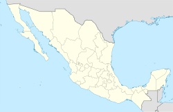
Tampico, Tamaulipas |
| Elevation AMSL |
80 ft / 24 m |
| Coordinates |
22°17′47″N 97°51′57″W / 22.29639°N 97.86583°W / 22.29639; -97.86583Coordinates: 22°17′47″N 97°51′57″W / 22.29639°N 97.86583°W / 22.29639; -97.86583 |
| Runways |
| Direction |
Length |
Surface |
| ft |
m |
| 09/27 |
3,937 |
1,200 |
Asphalt |
| 13/31 |
8,366 |
2,550 |
Asphalt |
| 18/36 |
4,265 |
1,300 |
Asphalt |
| Statistics (2009) |
| Total Passengers |
470,304 |
| Source: Grupo Aeroportuario Centro Norte. |
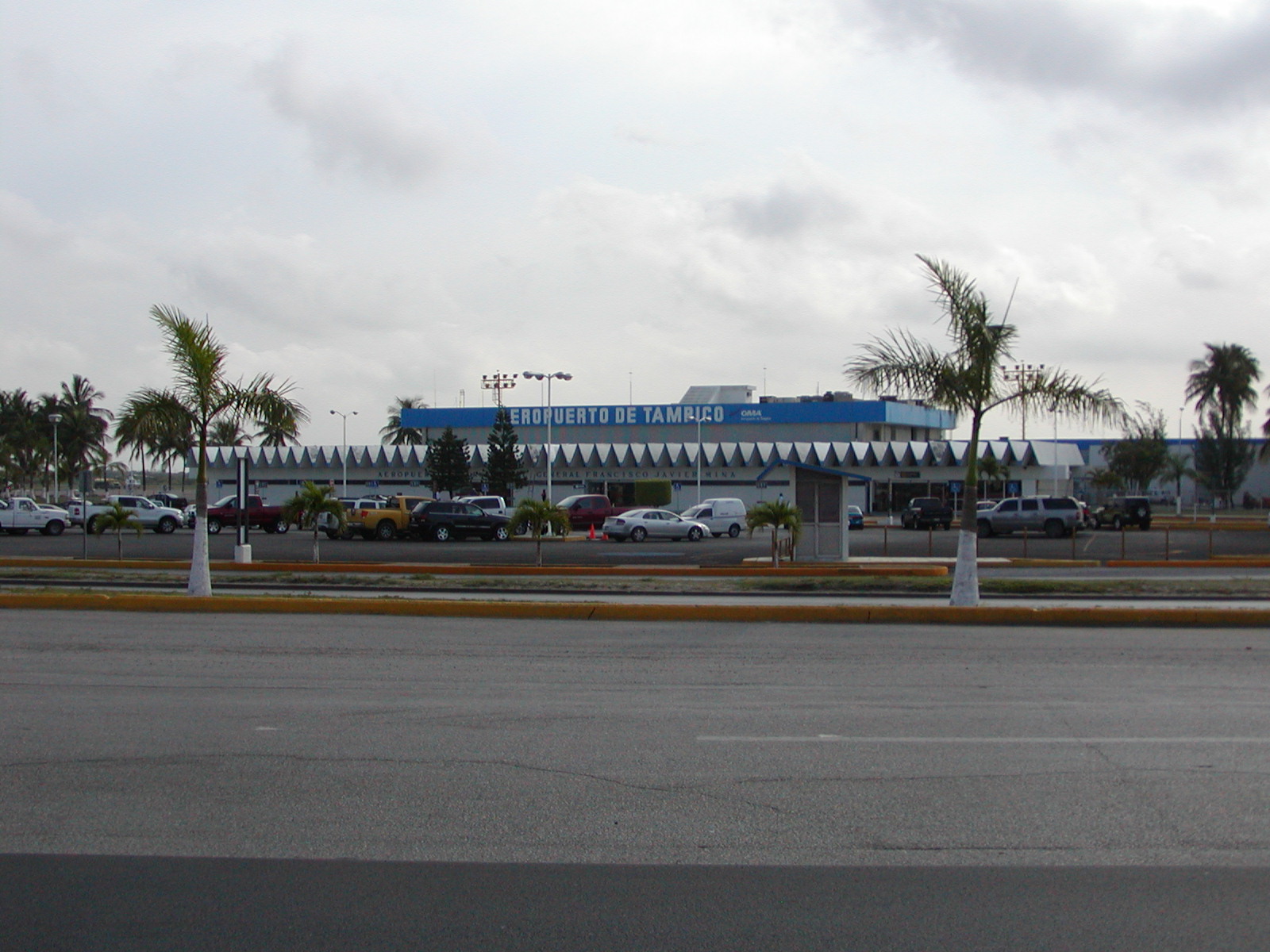
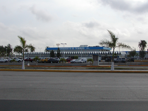
General Francisco Javier Mina International Airport or Tampico International Airport (IATA: TAM, ICAO: MMTM) is an international airport located at Tampico, Tamaulipas, Mexico. It is named after General Francisco Javier Mina, a leader in Mexico's War of Independence. It handles national and international air traffic of the metropolitan area of Tampico, Ciudad Madero and Altamira.
Airlines and destinations
| Airlines |
Destinations |
| Aeroméxico Connect |
Ciudad del Carmen, Mexico City, Monterrey, Veracruz |
| Continental Express operated by ExpressJet Airlines |
Houston-Intercontinental |
| Interjet |
Mexico City |
| VivaAerobus |
Monterrey |
The above content comes from Wikipedia and is published under free licenses – click here to read more.
| General Info
|
| Country |
Mexico
|
| ICAO ID |
MMTM
|
| Time |
UTC-6(-5DT)
|
| Latitude |
22.296450
22° 17' 47.22" N
|
| Longitude |
-97.865931
097° 51' 57.35" W
|
| Elevation |
80 feet
24 meters
|
| Type |
Civil
|
| Magnetic Variation |
005° E (01/06)
|
| Beacon |
Yes
|
| Operating Agency |
CIVIL GOVERNMENT, (LANDING FEES AND DIPLOMATIC CLEARANCE MAY BE REQUIRED)
|
| Alternate Name |
TAMPICO INTL
|
| Near City |
Tampico
|
| Operating Hours |
SEE REMARKS FOR OPERATING HOURS OR COMMUNICATIONS FOR POSSIBLE HOURS
|
| International Clearance Status |
Airport of Entry
|
| Daylight Saving Time |
First Sunday in April to the last Saturday in October
|
| Communications
|
| TAMPICO TWR |
118.3
|
| TAMPICO APP |
120.3
|
| Runways
|
| ID |
Dimensions |
Surface |
PCN |
ILS
|
| 09/27 |
3937 x 98 feet
1200 x 30 meters |
ASPHALT |
- |
NO
|
| 13/31 |
8366 x 148 feet
2550 x 45 meters |
ASPHALT |
048FBXT |
YES
|
| 18/36 |
4265 x 98 feet
1300 x 30 meters |
ASPHALT |
- |
NO
|
| Navaids
|
| Type |
ID |
Name |
Channel |
Freq |
Distance From Field |
Bearing From Navaid
|
| VOR-DME |
TAM |
TAMPICO |
122X |
117.5 |
At Field |
-
|
| Supplies/Equipment
|
| Fuel |
100/130 octane gasoline, leaded, MIL-L-5572F (GREEN)
100/130 MIL Spec, low lead, aviation gasoline (BLUE)
|
| Remarks
|
| CAUTION |
Bird haz.
|
| FUEL |
(NC-100LL, A1)
|
| OPR HOURS |
Opr 1230-0330Z++ Mon, Wed, Fri; 1230-0300Z++ Tue, Thu, Sat, Sun.
|
| RSTD |
All US mil acft diverting to this afld must ctc the Defense Attache Office duty officer at the US Embassy Mexico City. Thru ctl agcy call 011-52-555-080-2000. This afld can accept US mil ldg after proper coord.
|
The content above was published at Airports-Worldwide.com in 2010.
We don't guarantee the information is fresh and accurate. The data may be wrong or outdated.
For more up-to-date information please refer to other sources.
|
|