|
|
C P A Carlos Rovirosa Intl Airport |
Carlos Rovirosa Pérez International Airport
C P A Carlos Rovirosa International Airport |
 |
| IATA: VSA – ICAO: MMVA |
| Summary |
| Airport type |
Public |
| Operator |
Aeropuertos del sureste ASUR |
| Location |
Villahermosa |
| Elevation AMSL |
46 ft / 14 m |
| Coordinates |
17°59′42″N 92°49′02″W / 17.995°N 92.81722°W / 17.995; -92.81722Coordinates: 17°59′42″N 92°49′02″W / 17.995°N 92.81722°W / 17.995; -92.81722 |
| Runways |
| Direction |
Length |
Surface |
| ft |
m |
| 08/26 |
7,218 |
2,200 |
Asphalt |
| Statistics (2009) |
| Total Passengers |
766,417 |
| Source: Grupo Aeroporturario del Sureste |
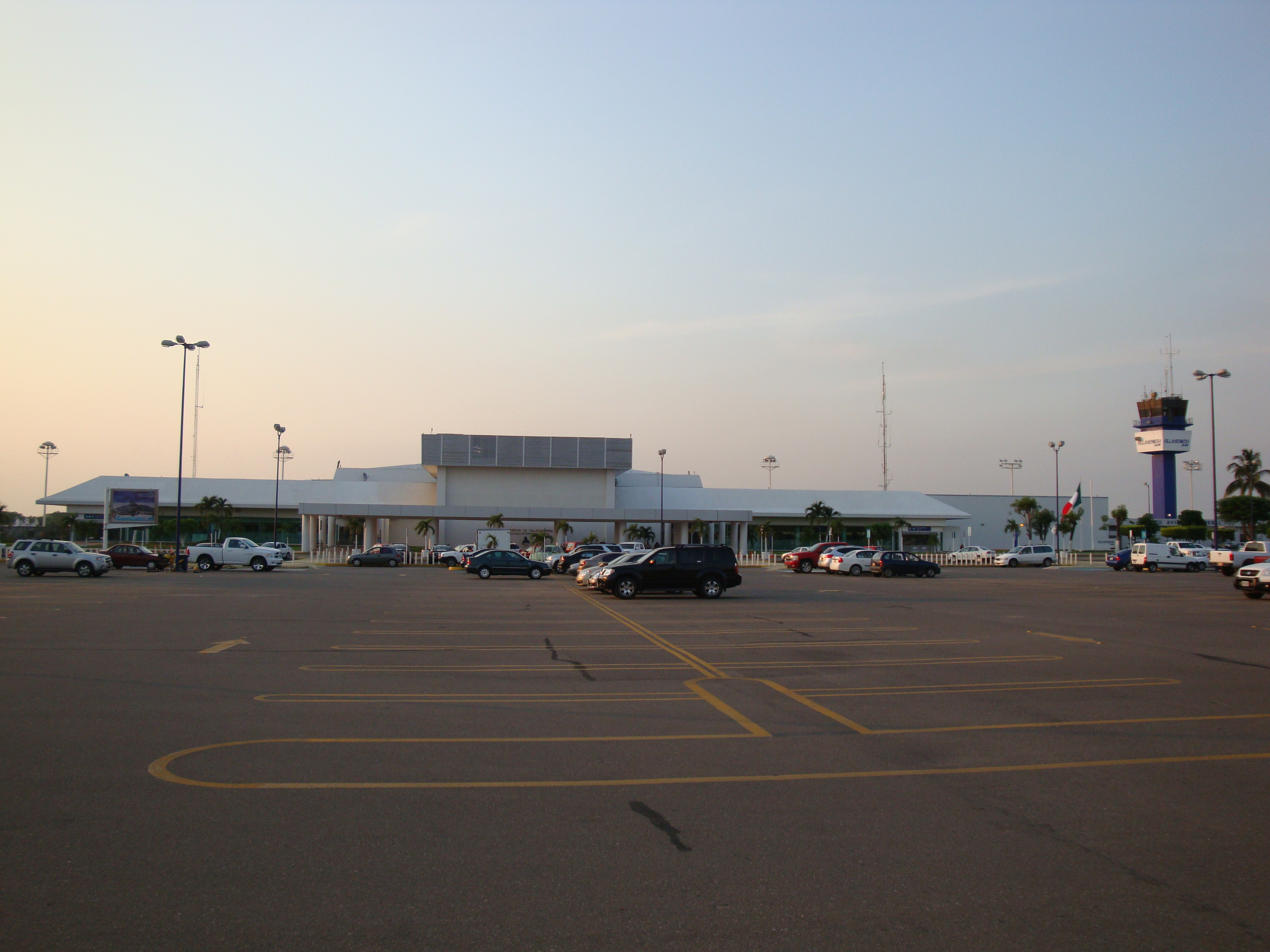
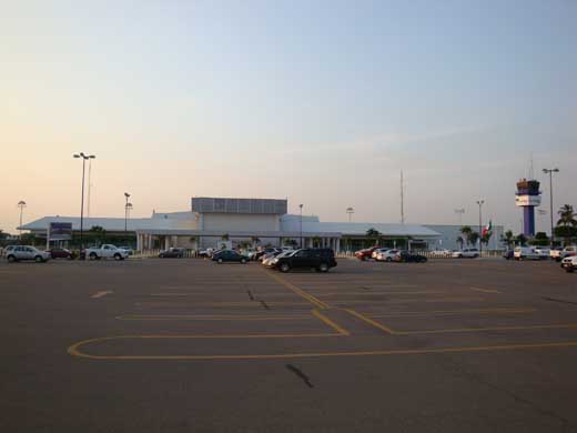
Carlos Rovirosa Pérez International Airport or Villahermosa International Airport (IATA: VSA, ICAO: MMVA) is an international airport located at Villahermosa, Tabasco, Mexico. It handles national and international air traffic for the city of Villahermosa.
Airlines and destinations
| Airlines |
Destinations |
| Aerodavinci |
Reynosa |
| Aeromar |
Poza Rica, Reynosa |
| Aeroméxico |
Mexico City |
| Aeroméxico Connect |
Guadalajara, Mérida, Monterrey, Veracruz |
| Continental Express operated by ExpressJet Airlines |
Houston-Intercontinental |
| Interjet |
Mexico City |
| VivaAerobus |
Mexico City, Monterrey |
The above content comes from Wikipedia and is published under free licenses – click here to read more.
| General Info
|
| Country |
Mexico
|
| ICAO ID |
MMVA
|
| Time |
UTC-6(-5DT)
|
| Latitude |
17.997000
17° 59' 49.20" N
|
| Longitude |
-92.817361
092° 49' 02.50" W
|
| Elevation |
46 feet
14 meters
|
| Type |
Civil
|
| Magnetic Variation |
003° E (01/06)
|
| Beacon |
Yes
|
| Operating Agency |
CIVIL GOVERNMENT, (LANDING FEES AND DIPLOMATIC CLEARANCE MAY BE REQUIRED)
|
| Alternate Name |
VILLAHERMOSA INTL
|
| Near City |
Villahermosa
|
| Operating Hours |
SEE REMARKS FOR OPERATING HOURS OR COMMUNICATIONS FOR POSSIBLE HOURS
|
| Daylight Saving Time |
First Sunday in April to the last Saturday in October
|
| Communications
|
| VILLAHERMOSA TWR |
118.7
|
| VILLAHERMOSA APP |
120.7
|
| Runways
|
| ID |
Dimensions |
Surface |
PCN |
ILS
|
| 08/26 |
7218 x 148 feet
2200 x 45 meters |
ASPHALT |
048FBYT |
NO
|
| Navaids
|
| Type |
ID |
Name |
Channel |
Freq |
Distance From Field |
Bearing From Navaid
|
| VOR-DME |
VSA |
VILLAHERMOSA |
114X |
116.7 |
At Field |
-
|
| Supplies/Equipment
|
| Fuel |
Jet A1, without icing nhibitor.
100/130 octane gasoline, leaded, MIL-L-5572F (GREEN)
|
| Remarks
|
| CAUTION |
Buzzards on apch to rwy 08 up to 10000' AGL.
|
| FUEL |
(NC-100LL, A1)
|
| OPR HOURS |
Opr 1300-0300Z++.
|
| RSTD |
Acft should use towing to leave coml apn.
|
The content above was published at Airports-Worldwide.com in 2010.
We don't guarantee the information is fresh and accurate. The data may be wrong or outdated.
For more up-to-date information please refer to other sources.
|
|