|
|
Zomba Airport (ICAO: FWZA) is an airport serving Zomba, Malawi.
|
Zomba Airport
|
|
|
| Summary |
| Airport type |
Military/Public |
| Location |
Zomba |
| Elevation AMSL |
2,650 ft / 808 m |
| Coordinates |
15°23′10″S
35°23′05″E |
| Map |
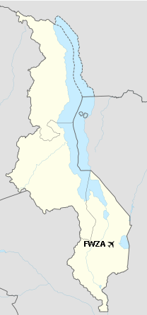
Location of the airport in Malawi
|
| Runways |
| Direction |
Length |
Surface |
| ft |
m |
| 09/27 |
|
1,250 |
Asphalt |
|
The above content comes from Wikipedia and is published under free licenses – click here to read more.
| General Info
|
| Country |
Malawi
|
| ICAO ID |
FWZA
|
| Latitude |
-15.385350
15° 23' 07.26" S
|
| Longitude |
35.384497
035° 23' 04.19" E
|
| Elevation |
2650 feet
808 meters
|
| Type |
Joint (Civil and Military)
|
| Magnetic Variation |
007° W (01/06)
|
| Operating Agency |
MILITARY - CIVIL JOINT USE AIRPORT
|
| Runways
|
| ID |
Dimensions |
Surface |
PCN |
ILS
|
| 09/27 |
4100 x 55 feet
1250 x 17 meters |
ASPHALT |
- |
NO
|
| Supplies/Equipment
|
| Fuel |
Aviation Gasoline (AVGAS), octane unknown.
|
The content above was published at Airports-Worldwide.com in 2020.
We don't guarantee the information is fresh and accurate. The data may be wrong or outdated.
For more up-to-date information please refer to other sources.
|
|