|
|
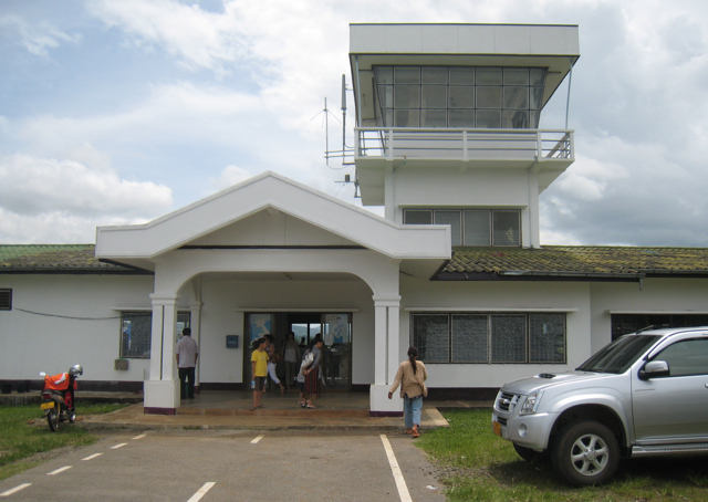
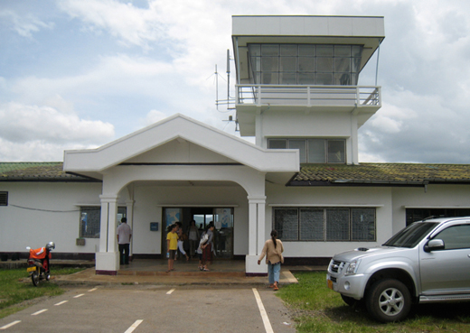
| Ban Huoeisay Airport |
 |
| IATA: OUI – ICAO: VLHS |
| Summary |
| Operator |
Civil Government |
| Location |
Ban Huoeisay, Laos |
| Elevation AMSL |
1,380 ft / 421 m |
| Coordinates |
20°15′28″N 100°26′13″E / 20.25778°N 100.43694°E / 20.25778; 100.43694 |
| Runways |
| Direction |
Length |
Surface |
| ft |
m |
| 16/34 |
4,830 |
1,472 |
Asphalt |
| Source: World Aero Data |
Ban Huoeisay Airport (IATA: OUI, ICAO: VLHS) is an airport in Ban Hat Tai, Laos. Alternative spellings are Ban Houay Xay Airport or Ban Houei Sai Airport. Airlines and destinations
Accidents and incidents
- On 30 June 1971, Douglas C-47B XW-TDI of Lao Airlines was written off in an accident at Ban Huoeisay Airport.
The above content comes from Wikipedia and is published under free licenses – click here to read more.
| General Info
|
| Country |
Laos
|
| ICAO ID |
VLHS
|
| Time |
UTC+7
|
| Latitude |
20.258017
20° 15' 28.86" N
|
| Longitude |
100.437083
100° 26' 13.50" E
|
| Elevation |
1380 feet
421 meters
|
| Magnetic Variation |
001° W (07/06)
|
| Operating Agency |
CIVIL GOVERNMENT, (LANDING FEES AND DIPLOMATIC CLEARANCE MAY BE REQUIRED)
|
| Operating Hours |
SEE REMARKS FOR OPERATING HOURS OR COMMUNICATIONS FOR POSSIBLE HOURS
|
| Runways
|
| ID |
Dimensions |
Surface |
PCN |
ILS
|
| 16/34 |
4830 x 75 feet
1472 x 23 meters |
ASPHALT |
- |
NO
|
| Remarks
|
| CAUTION |
Rolling hills, tall trees in immed vcnty.
|
| OPR HOURS |
Opr 2300-1100Z.
|
The content above was published at Airports-Worldwide.com in 2010.
We don't guarantee the information is fresh and accurate. The data may be wrong or outdated.
For more up-to-date information please refer to other sources.
|
|