|
|
Gimpo International Airport
김포국제공항
金浦國際空港
Gimpo Gukje Gonghang
Kimp'o Kukche Konghang |
 |
| Domestic Terminal |
| IATA: GMP – ICAO: RKSS |
| Summary |
| Airport type |
Public |
| Operator |
Korea Airports Corporation |
| Serves |
Seoul |
| Location |
Seoul National Capital Area |
| Hub for |
- Asiana Airlines
- Korean Air
|
| Elevation AMSL |
58 ft / 18 m |
| Coordinates |
37°33′29″N 126°47′26″E / 37.55806°N 126.79056°E / 37.55806; 126.79056 |
| Website |
gimpo.airport.co.kr |
| Runways |
| Direction |
Length |
Surface |
| ft |
m |
| 14R/32L |
10,499 |
3,200 |
Asphalt |
| 14L/32R |
11,811 |
3,600 |
Concrete |
| Statistics (2007) |
| Aircraft movements |
100,124 |
| Passengers |
13,811,004 |
| Tonnes of cargo |
248,736 |
| Statistics from KAC |
Gimpo International Airport (Korean: 김포국제공항), commonly known as Gimpo Airport (IATA: GMP, ICAO: RKSS) (formerly Kimpo International Airport), is located in the far western end of Seoul and was the main international airport for Seoul and South Korea before it was replaced by Incheon International Airport in 2001. It is now the second largest airport in Korea after Incheon International Airport. Airlines and destinations
Gimpo Airport primarily serves domestic and some limited international flights.
| Airlines |
Destinations |
| Air Busan |
Busan |
| All Nippon Airways |
Tokyo-Haneda |
| Asiana Airlines |
Gwangju, Jeju, Osaka-Kansai, Pohang, Shanghai-Hongqiao, Tokyo-Haneda, Ulsan, Yeosu |
| China Eastern Airlines |
Shanghai-Hongqiao |
| Eastar Jet |
Jeju |
| Japan Airlines |
Osaka-Kansai, Tokyo-Haneda |
| Jeju Air |
Jeju, Nagoya-Centrair, Osaka-Kansai |
| Jin Air |
Jeju |
| Korea Express Air |
Tsushima, Yangyang |
| Korean Air |
Busan, Gwangju, Jeju, Osaka-Kansai, Pohang, Sacheon, Shanghai-Hongqiao, Tokyo-Haneda, Ulsan, Yeosu |
| Shanghai Airlines |
Shanghai-Hongqiao |
History
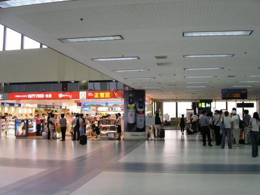 | |
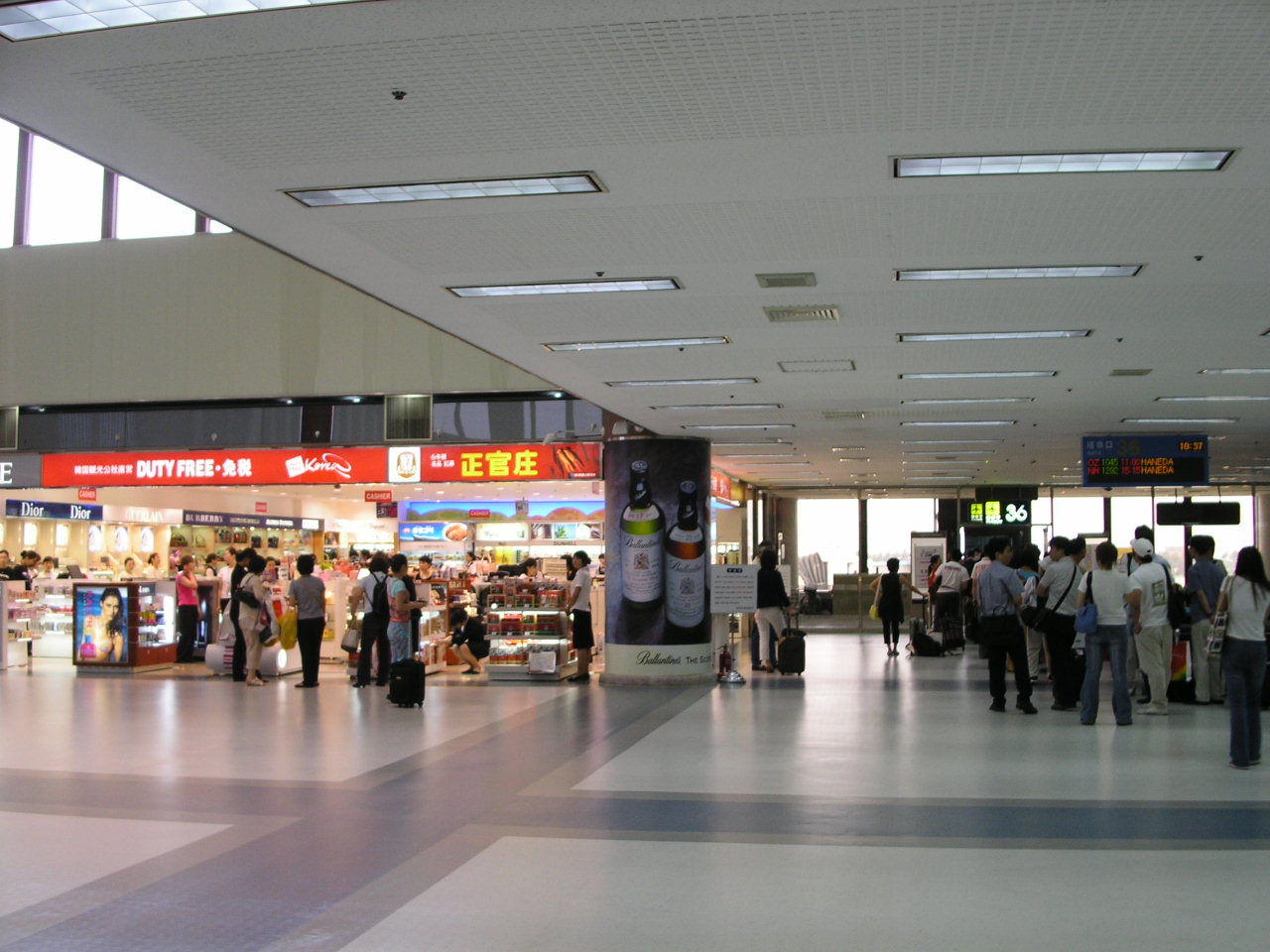
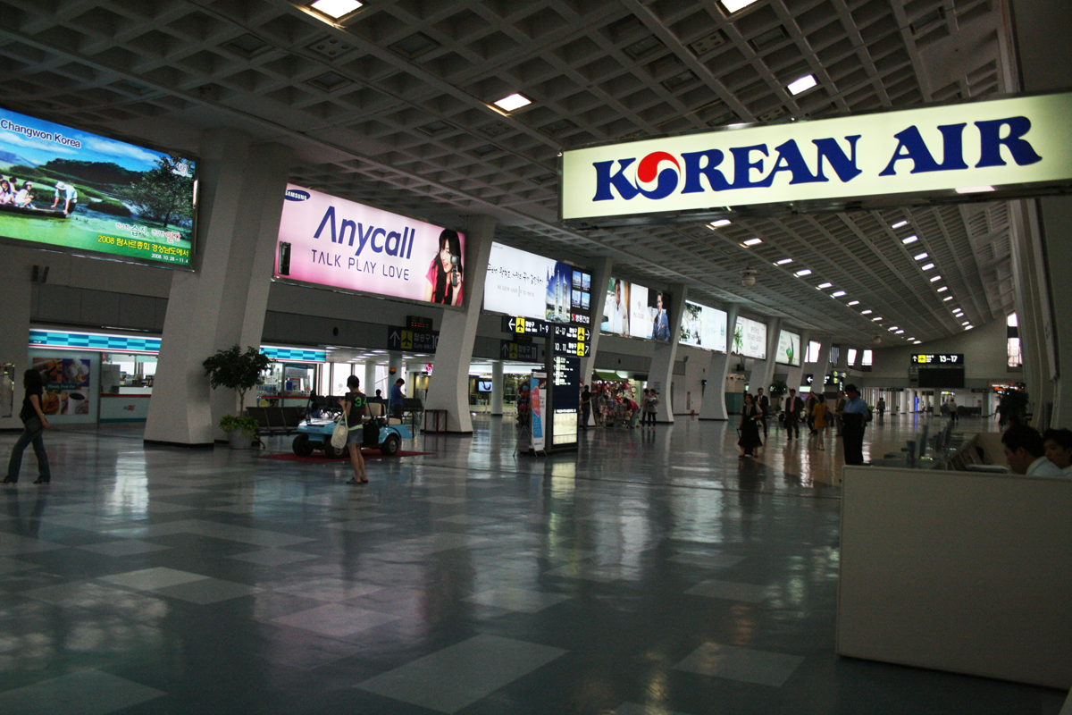
International Terminal, Gimpo Airport - Departure |
 | |
Domestic Terminal, Gimpo Airport - Departure |
The airport originally started out as a runway built by Japanese forces in 1939-1942. It played a major role during the Korean War and in 1958 was designated as the international airport of the Korean capital city.
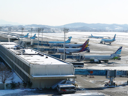
Since then it has grown into a much more significant airport that is capable of handling 226,000 flights a year. The airport had one domestic and two international terminals before its international function was replaced by Incheon International Airport. Gimpo currently has two runways (3600 m×45 m & 3200 m×60 m), two passenger terminals, and one cargo terminal.
The airport is located south of the Han River in western Seoul. (The name "Gimpo" comes from the nearby city of Gimpo, of which the airport used to be a part.)
For many years, the airport was served by the Gimpo Line, a railway line that no longer exists. In the 1990s, Seoul Subway Line 5 was extended to Gimpo. On March 23, 2007, the AREX airport express line started operations to Incheon International Airport, with the rest of the link to Seoul Station scheduled to open in 2010. In July, Seoul Subway Line 9 opened linking the airport to the Gangnam area.
On November 29, 2003, scheduled services between Gimpo and Tokyo International Airport (Haneda) in Tokyo, Japan began. Services to Shanghai Hongqiao International Airport started on October 28, 2007. Services to Kansai International Airport In Osaka, Japan started on October 26, 2008.
Airlines that formerly served Gimpo but no longer fly to Korea are listed: Air New Zealand, Alitalia, Ansett Australia, British Airways (now cargo only), Continental Airlines, Iberia Airlines, Kuwait Airways, Lauda Air, Qantas, Saudia, Swissair, VASP.
Disasters involving Gimpo
 | |
International Terminal, Gimpo Airport - Departure |
- In 1978, Soviet missiles struck Korean Air Lines Flight 902, killing two passengers. The plane, bound for Gimpo from Paris, landed with no further deaths.
- In 1980, a Korean Air Lines 747 landed short of the runway, ripping off all main landing gear, causing the aircraft to skid to a stop on the nose wheel and outer 2 engines starting a fire. 15 of the 226 total occupants were killed, this included the First Officer and Captain, who refused to leave the aircraft after the crash.
- In 1983, Korean Air Lines Flight 007, flying from John F. Kennedy International Airport in New York City, New York via Anchorage International Airport in Anchorage, Alaska, flew into Soviet air space. The Russians shot down the aircraft, killing all of the passengers and crew.
- In 1987, Korean Air Flight 858, which was flying from Baghdad International Airport in Baghdad, Iraq to Abu Dhabi International Airport in Abu Dhabi, United Arab Emirates to Don Mueang International Airport in Bangkok, Thailand, to Kimpo was blown up midair by a bomb planted by North Korean agents. Everyone on board died after the plane exploded over the Andaman Sea.
- In 1997, Korean Air Flight 801, a Boeing 747 that had taken off from this airport, crashed on Nimitz Hill, Guam while on course to Antonio B. Won Pat International Airport, killing all but 26 of its passengers.
The above content comes from Wikipedia and is published under free licenses – click here to read more.
| General Info
|
| Country |
Korea, Republic of
|
| ICAO ID |
RKSS
|
| Time |
UTC+9
|
| Latitude |
37.558311
37° 33' 29.92" N
|
| Longitude |
126.790586
126° 47' 26.11" E
|
| Elevation |
58 feet
18 meters
|
| Type |
Civil
|
| Magnetic Variation |
007° W (01/06)
|
| Beacon |
Yes
|
| Operating Agency |
CIVIL GOVERNMENT, (LANDING FEES AND DIPLOMATIC CLEARANCE MAY BE REQUIRED)
|
| Alternate Name |
K 14
|
| Near City |
Seoul
|
| International Clearance Status |
Airport of Entry
|
| Communications
|
| TWR |
118.1
118.05
240.9
|
| GND |
121.9
121.95
121.25
236.6
|
| SEOUL DEP |
125.15
124.8
317.6
|
| CLNC DEL |
122.6
125.85
236.6
|
ATIS
Opr 2000-1400Z.
|
126.4
317.8
|
| SEOUL APP |
120.8
119.75
119.9
125.5
363.8
|
| BRICKWALL |
120.0
349.4
|
| SEOUL RDO |
127.1
3004
6532
8903
13300
|
| Communications Remarks |
|
| ATIS |
Digital ATIS svc avbl.
|
| CLD |
Digital PDC service available.
|
| Runways
|
| ID |
Dimensions |
Surface |
PCN |
ILS
|
| 14R/32L |
10499 x 197 feet
3200 x 60 meters |
ASPHALT |
079FCWT |
YES
|
| 14L/32R |
11811 x 148 feet
3600 x 45 meters |
ASPHALT |
070FBWT |
YES
|
| Navaids
|
| Type |
ID |
Name |
Channel |
Freq |
Distance From Field |
Bearing From Navaid
|
| VORTAC |
SEL |
ANYANG |
102X |
115.5 |
9.9 NM |
330.4
|
| VOR-DME |
YJU |
YANGJU |
096X |
114.9 |
9.9 NM |
227.4
|
| Supplies/Equipment
|
| Fuel |
Jet A1+, Jet A1 with icing inhibitor.
115/145 octane gasoline, leaded, MIL-L-5572F (PURPLE)
Unknown fuel type or whether there is any fuel.
|
| Remarks
|
| FUEL |
(NC-115, A1)
|
| MISC |
When flying VFR within 10 NM rad Gimpo area pilots should ctc Gimpo Twr for VFR advsy svc. AMC msn aircrews ctc the Air Mobility Control Cntr - (AMC Comd Post), call sign BRICKWALL, with arr and dep info. HF fone patch to AMCC thru YOKOTAAWY. LLWAS.
|
| NS ABTMT |
Ldg and tkof will be rstd 1400-2100Z exc emerg and special msn acft.
|
| RSTD |
All multi-eng acft exc copter arr/dep are rqr to be on IFR flt plan.
|
The content above was published at Airports-Worldwide.com in 2010.
We don't guarantee the information is fresh and accurate. The data may be wrong or outdated.
For more up-to-date information please refer to other sources.
|
|