|
|
| Bonriki International Airport |
 |
| IATA: TRW – ICAO: NGTA
Location of airport in Kiribati
|
| Summary |
| Airport type |
Public |
| Operator |
Government |
| Serves |
Tarawa, Kiribati |
| Location |
Bonriki, South Tarawa |
| Hub for |
- Air Kiribati
- Coral Sun Airways
|
| Elevation AMSL |
9 ft / 3 m |
| Coordinates |
01°22′54″N 173°08′49″E / 1.38167°N 173.14694°E / 1.38167; 173.14694Coordinates: 01°22′54″N 173°08′49″E / 1.38167°N 173.14694°E / 1.38167; 173.14694 |
| Runways |
| Direction |
Length |
Surface |
| m |
ft |
| 09/27 |
2,011 |
6,598 |
Asphalt |
| Source: DAFIF |
Bonriki International Airport 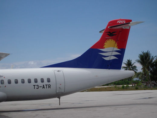 | |
Air Kiribati's former ATR 72 aircraft at Bonriki International Airport |
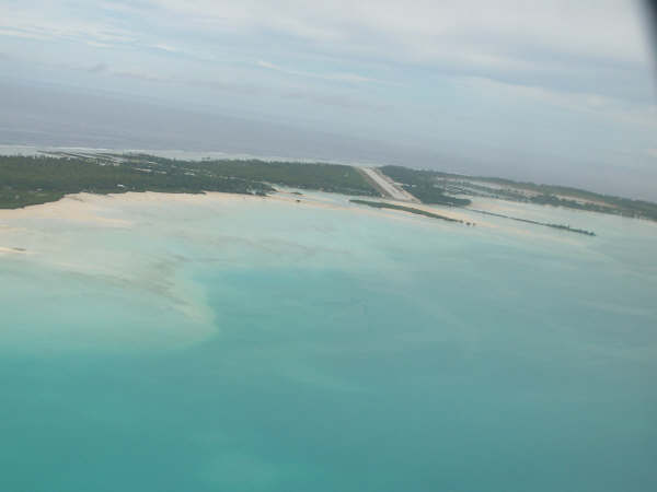
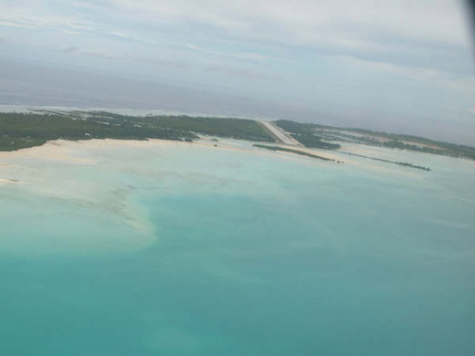
Bonriki International Airport (IATA: TRW, ICAO: NGTA) is the only international airport in Kiribati, and thus serves as the main gateway to the country. It is located in its capital, South Tarawa, which a group of islets in the atoll of Tarawa in the Gilbert Islands.
Fiji's national carrier, Air Pacific, and Kiribati's state-owned airline, Air Kiribati, both connect Kiribati with Nadi, which is Air Pacific's hub and Fiji's main international gateway. Our Airline, the national airline of Nauru, provides service to Nauru International Airport, connecting to Honiara, the capital of the Solomon Islands, and further to Brisbane, Australia. This service was suspended from July 2008 to November 2009.
The airport is the hub of the only two Kiribati airlines, flag carrier Air Kiribati and the 2009-established Coral Sun Airways, with both airlines mainly flying domestic routes within the Gilbert Islands. Air Kiribati and Coral Sun Airways both serve all 16 other airports in the Gilbert Islands, but not all these destinations are flown directly from Tarawa. Coral Sun Airways is considering buying another, larger aircraft, capable of flying to the Phoenix Islands and Line Islands, which are, as of 2010, served by neither domestic nor international scheduled flights. History
The airport was built in December 1943 by United States Navy Seebees and was named "Mullinix Field", in honor of Rear Admiral Henry M. Mullinix, who died in the sinking of the U.S.S. Liscombe Bay on 24 November 1943 after it was torpedoed by a Japanese submarine off the Gilbert Islands.
Almost immediately after the completion of the runway, it became the nexus of United States Army Air Force (USAAF) operations from Tarawa, as the runway at nearby Hawkins Field on Betio was too short for safe bomber operations. The longer runway at Mullinix became the base for the VII Bomber Command Headquarters, which directed operations against Japanese forces in the Marshall Islands. In addition, the USAAF stationed the B-24 Liberator equipped 11th Bombardment Group and B-25 Mitchell equipped 41st Bombardment Group at the airfield.
In April 1944, the land-based units moved forward to Kwajalein Airfield in the Marshall Islands, and shortly thereafter, Mullinix was reduced to an emergency airfield. By the end of the war, the Americans abandoned the facilities and the airfield was turned into a civilian airport.
Facilities
The airport resides at an elevation of 9 feet (3 m) above mean sea level. It has one runway designated 09/27 with an asphalt surface measuring 2,011 by 41 metres (6,598 × 135 ft).
Airlines and destinations
| Airlines |
Destinations |
| Air Kiribati |
Abaiang, Abemama, Butaritari, Kuria, Maiana, Nadi, Nonouti, Tabiteuea North |
| Air Pacific |
Nadi |
| Coral Sun Airways |
Abaiang, Abemama, Aranuka, Arorae, Butaritari, Kuria, Makin, Maiana, Marakei, Nikunau, Nonouti, Tabiteuea North, Tabiteua South |
| Our Airline |
Brisbane, Nauru, Honiara |
The above content comes from Wikipedia and is published under free licenses – click here to read more.
| General Info
|
| Country |
Kiribati
|
| ICAO ID |
NGTA
|
| Time |
UTC+12
|
| Latitude |
1.381636
01° 22' 53.89" N
|
| Longitude |
173.147036
173° 08' 49.33" E
|
| Elevation |
9 feet
3 meters
|
| Magnetic Variation |
009° E (01/06)
|
| Operating Agency |
CIVIL GOVERNMENT, (LANDING FEES AND DIPLOMATIC CLEARANCE MAY BE REQUIRED)
|
| Island Group |
Gilbert I
|
| Operating Hours |
SEE REMARKS FOR OPERATING HOURS OR COMMUNICATIONS FOR POSSIBLE HOURS
|
| International Clearance Status |
Airport of Entry
|
| Communications
|
| TARAWA RDO |
118.1
118.5
3425
6553
8846
|
| FSS |
118.1
118.5
|
| Communications Remarks |
|
| CTAF |
HS. O/T 24 hr PPN 1800-0600Z thru Nadi.
|
| Runways
|
| ID |
Dimensions |
Surface |
PCN |
ILS
|
| 09/27 |
6598 x 135 feet
2011 x 41 meters |
ASPHALT |
040FBXT |
NO
|
| Navaids
|
| Type |
ID |
Name |
Channel |
Freq |
Distance From Field |
Bearing From Navaid
|
| NDB |
BO |
BONRIKI |
- |
390 |
At Field |
-
|
| DME |
TW |
TARAWA |
090X |
- |
At Field |
-
|
| Supplies/Equipment
|
| Fuel |
Jet A1, without icing nhibitor.
100/130 octane gasoline, leaded, MIL-L-5572F (GREEN)
|
| Remarks
|
| FUEL |
Ltd fuel avbl O/R. (NC-100LL, A1)
|
| LGT |
PAPI Rwy 09 TCH 50'. No standby pwr avbl. Portable lgt avbl to lgt up 2600' of rwy.
|
| MISC |
Fire fighting fac withdrawn exc for sked intl flt. Auth req that pilots arr before dark.
|
| OPR HOURS |
Opr 2000-0430Z Mon-Fri, 2000-0015Z Sat. OT 24 hr PN non-sked acft.
|
The content above was published at Airports-Worldwide.com in 2010.
We don't guarantee the information is fresh and accurate. The data may be wrong or outdated.
For more up-to-date information please refer to other sources.
|
|