 |
|
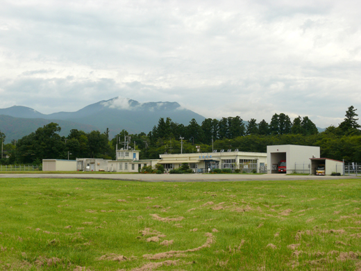
| Sado Airport |
 |
| IATA: none – ICAO: RJSD |
| Summary |
| Airport type |
Public |
| Operator |
Niigata Prefecture |
| Location |
Sado, Japan |
| Elevation AMSL |
75 ft / 23 m |
| Coordinates |
38°03′40″N 138°24′51″E / 38.06111°N 138.41417°E / 38.06111; 138.41417 (Sado Airport)Coordinates: 38°03′40″N 138°24′51″E / 38.06111°N 138.41417°E / 38.06111; 138.41417 (Sado Airport) |
| Runways |
| Direction |
Length |
Surface |
| m |
ft |
| 10/28 |
890 |
2,920 |
Asphalt concrete |
| Source: Japanese AIP at AIS Japan |
Sado Airport (ICAO: RJSD) is a public aerodrome located 4 km (2.5 mi) southwest of Ryōtsu in Sado, Niigata Prefecture, Japan.
The above content comes from Wikipedia and is published under free licenses – click here to read more.
| General Info
|
| Country |
Japan
|
| ICAO ID |
RJSD
|
| Latitude |
38.060181
38° 03' 36.65" N
|
| Longitude |
138.413928
138° 24' 50.14" E
|
| Elevation |
88 feet
27 meters
|
| Magnetic Variation |
008° W (01/06)
|
| Operating Agency |
CIVIL GOVERNMENT, (LANDING FEES AND DIPLOMATIC CLEARANCE MAY BE REQUIRED)
|
| Communications
|
REMOTE
2345-0815Z
|
118.15
|
| Runways
|
| ID |
Dimensions |
Surface |
PCN |
ILS
|
| 10/28 |
3390 x 85 feet
1033 x 26 meters |
ASPHALT |
012FCXT |
NO
|
| Supplies/Equipment
|
| Fuel |
100/130 octane gasoline, leaded, MIL-L-5572F (GREEN)
80/87 octane gasoline, leaded, MIL-L-5572F (RED)
|
The content above was published at Airports-Worldwide.com in 2010.
We don't guarantee the information is fresh and accurate. The data may be wrong or outdated.
For more up-to-date information please refer to other sources.
|
|


