|
|
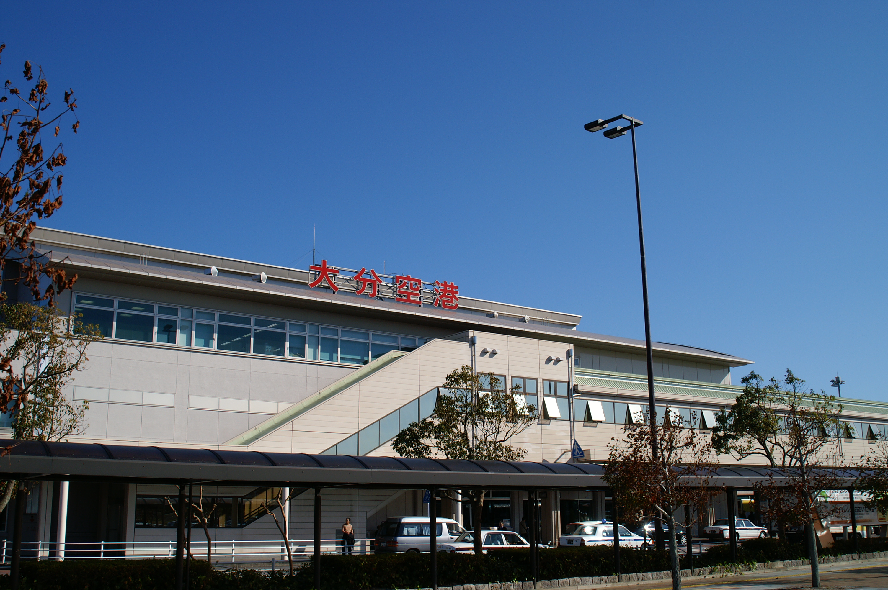
Oita Airport
大分空港 |
 |
| Oita Airport |
| IATA: OIT – ICAO: RJFO |
| Summary |
| Airport type |
Public |
| Serves |
Ōita |
| Elevation AMSL |
17 ft / 5 m |
| Coordinates |
33°28′46″N 131°44′14″E / 33.47944°N 131.73722°E / 33.47944; 131.73722 (Oita Airport)Coordinates: 33°28′46″N 131°44′14″E / 33.47944°N 131.73722°E / 33.47944; 131.73722 (Oita Airport) |
| Runways |
| Direction |
Length |
Surface |
| m |
ft |
| 01/19 |
3,000 |
9,840 |
Asphalt concrete |
| Source: Japanese AIP at AIS Japan |
Oita Airport seen from the air Oita Airport (大分空港, Ōita Kūkō) (IATA: OIT, ICAO: RJFO) is an airport in Kunisaki, Ōita, Japan, 16 NM (30 km; 18 mi) northeast of Ōita.
Airlines and destinations
| Airlines |
Destinations |
| All Nippon Airways |
Tokyo-Haneda, Nagoya-Centrair, Osaka-Itami |
| All Nippon Airways operated by Ibex Airlines |
Osaka-Itami |
| Japan Airlines |
Tokyo-Haneda |
| Japan Airlines operated by Japan Air Commuter |
Osaka-Itami |
| Korean Air |
Seoul-Incheon |
| Skynet Asia Airways |
Tokyo-Haneda [begins October 31] |
The above content comes from Wikipedia and is published under free licenses – click here to read more.
| General Info
|
| Country |
Japan
|
| ICAO ID |
RJFO
|
| Time |
UTC+9
|
| Latitude |
33.479444
33° 28' 46.00" N
|
| Longitude |
131.737222
131° 44' 14.00" E
|
| Elevation |
19 feet
6 meters
|
| Type |
Civil
|
| Magnetic Variation |
006° W (01/06)
|
| Beacon |
Yes
|
| Operating Agency |
CIVIL GOVERNMENT, (LANDING FEES AND DIPLOMATIC CLEARANCE MAY BE REQUIRED)
|
| Island Group |
Kyushu I
|
| Operating Hours |
SEE REMARKS FOR OPERATING HOURS OR COMMUNICATIONS FOR POSSIBLE HOURS
|
| Communications
|
| TWR |
118.8
261.2
126.2
|
| GND |
121.6
|
| DEP |
119.05
261.2
|
| ATIS |
127.8
|
| APP |
120.6
261.2
127.7
|
| Runways
|
| ID |
Dimensions |
Surface |
PCN |
ILS
|
| 01/19 |
9840 x 150 feet
2999 x 46 meters |
ASPHALT |
083FCXT |
YES
|
| Navaids
|
| Type |
ID |
Name |
Channel |
Freq |
Distance From Field |
Bearing From Navaid
|
| VOR-DME |
TFE |
MUSASHI |
124X |
117.7 |
At Field |
-
|
| Supplies/Equipment
|
| Fuel |
Jet A, without icing inhibitor.
100/130 octane gasoline, leaded, MIL-L-5572F (GREEN)
80/87 octane gasoline, leaded, MIL-L-5572F (RED)
|
| Remarks
|
| FUEL |
(100, A1)
|
| LGT |
SSALR and apch lgt bcn Rwy 19. PAPI Rwy 01 MEHT 66', Rwy 19 - 74'.
|
| MISC |
Rwy grooved.
|
| OPR HOURS |
Opr 2230-1230Z.
|
The content above was published at Airports-Worldwide.com in 2010.
We don't guarantee the information is fresh and accurate. The data may be wrong or outdated.
For more up-to-date information please refer to other sources.
|
|