|
|
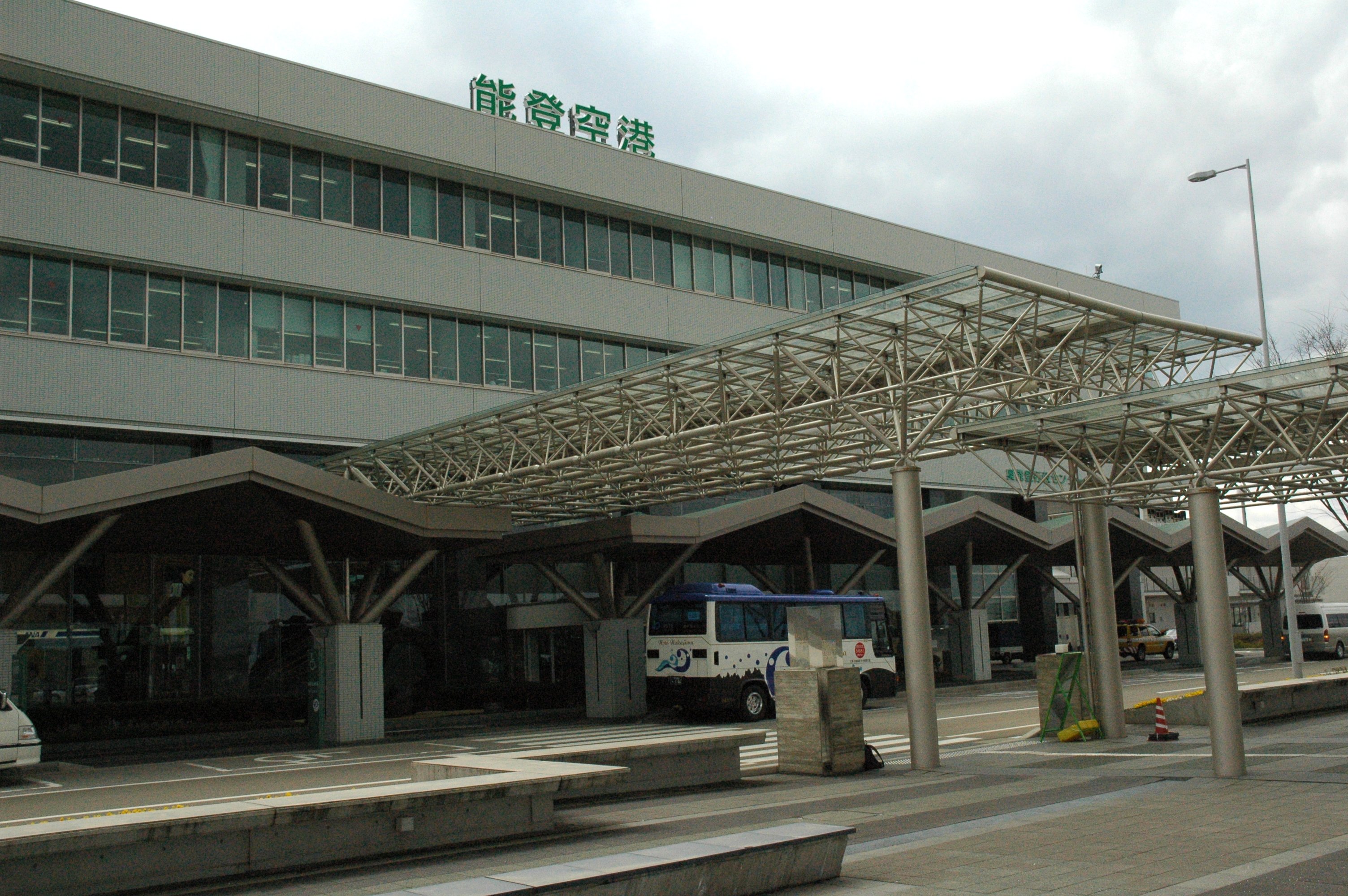
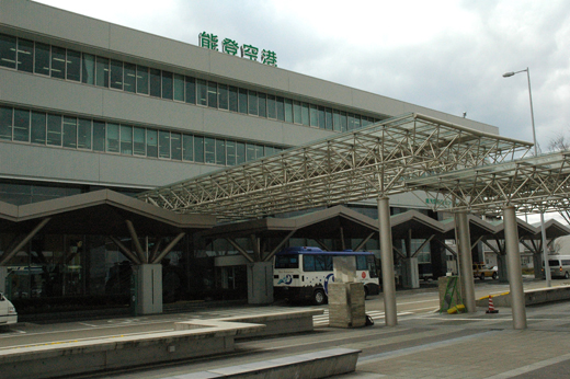
Noto Airport
能登空港
Noto Kūkō |
 |
| IATA: NTQ – ICAO: RJNW |
| Summary |
| Airport type |
Public |
| Operator |
Ministry of Transport |
| Location |
Wajima, Ishikawa |
| Elevation AMSL |
718 ft / 219 m |
| Coordinates |
37°17′36″N 136°57′44″E / 37.29333°N 136.96222°E / 37.29333; 136.96222 (Noto Airport)Coordinates: 37°17′36″N 136°57′44″E / 37.29333°N 136.96222°E / 37.29333; 136.96222 (Noto Airport) |
| Runways |
| Direction |
Length |
Surface |
| m |
ft |
| 07/25 |
2,000 |
6,562 |
Asphalt concrete |
| Source: Japanese AIP at AIS Japan |
Noto Airport (能登空港, Noto Kūkō) (IATA: NTQ, ICAO: RJNW), also unofficially known as Wajima Airport (輪島空港, Wajima Kūkō) is a domestic airport located 6.4 NM (11.9 km; 7.4 mi) south southeast of the city of Wajima on the Noto Peninsula of Ishikawa Prefecture, Japan.
The airport is a four-story building with two jetways. It is officially designated a third class airport. History
Completed on July 7, 2003, Noto Airport is among Japan's newest greenfield airports not constructed to replace an existing facility. Initially, All Nippon Airways (ANA) was only willing to operate one flight per day. Ishikawa Prefecture thus suggested Japan's first occupancy guarantee agreement (搭乗率保証制度), in which ANA agreed to operate two daily flights and in exchange Ishikawa Prefecture agreed to compensate ANA if occupancy fell below a set target (initially 70%) and gross ticket sales were under 200 million yen. However, the agreement also specified that if the target is exceeded, ANA must pay the excess back to Ishikawa Prefecture. So far, the agreement seems to have been mutually beneficial: Airlines and destinations
| Airlines |
Destinations |
| All Nippon Airways |
Tokyo-Haneda |
The above content comes from Wikipedia and is published under free licenses – click here to read more.
| General Info
|
| Country |
Japan
|
| ICAO ID |
RJNW
|
| Time |
UTC+9
|
| Latitude |
37.293097
37° 17' 35.15" N
|
| Longitude |
136.961853
136° 57' 42.67" E
|
| Elevation |
718 feet
219 meters
|
| Type |
Civil
|
| Magnetic Variation |
007° W (01/06)
|
| Beacon |
Yes
|
| Operating Agency |
CIVIL GOVERNMENT, (LANDING FEES AND DIPLOMATIC CLEARANCE MAY BE REQUIRED)
|
| Island Group |
Honshu I.
|
| Operating Hours |
SEE REMARKS FOR OPERATING HOURS OR COMMUNICATIONS FOR POSSIBLE HOURS
|
| Communications
|
| RDO |
118.05
126.2
|
| TOKYO CON |
132.45
304.4
|
| Runways
|
| ID |
Dimensions |
Surface |
PCN |
ILS
|
| 07/25 |
6562 x 148 feet
2000 x 45 meters |
ASPHALT |
045FBXT |
YES
|
| Navaids
|
| Type |
ID |
Name |
Channel |
Freq |
Distance From Field |
Bearing From Navaid
|
| VOR-DME |
NTE |
NOTO |
051Y |
111.45 |
At Field |
-
|
| Remarks
|
| FUEL |
(NC-A1)
|
| LGT |
PAPI Rwy 07 and 25 MEHT 61'.
|
| OPR HOURS |
Opr 2300-1030Z.
|
The content above was published at Airports-Worldwide.com in 2010.
We don't guarantee the information is fresh and accurate. The data may be wrong or outdated.
For more up-to-date information please refer to other sources.
|
|