 |
|
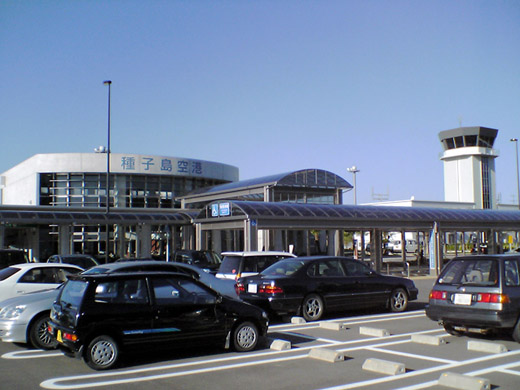
New Tanegashima Airport
新種子島空港
Shin Tanegashima Kūkō |
 |
| IATA: TNE – ICAO: RJFG |
| Summary |
| Airport type |
Public |
| Operator |
Government |
| Location |
Tanegashima, Kagoshima Prefecture, Japan |
| Elevation AMSL |
768 ft / 234 m |
| Coordinates |
30°36′18″N 130°59′30″E / 30.605°N 130.99167°E / 30.605; 130.99167 (New Tanegashima Airport)Coordinates: 30°36′18″N 130°59′30″E / 30.605°N 130.99167°E / 30.605; 130.99167 (New Tanegashima Airport) |
| Runways |
| Direction |
Length |
Surface |
| m |
ft |
| 13/31 |
2,000 |
6,562 |
Asphalt concrete |
| Source: Japanese AIP at AIS Japan |
New Tanegashima Airport (新種子島空港, Shin Tanegashima Kūkō) (IATA: TNE, ICAO: RJFG), also known as Tanegashima Airport, is located on Tanegashima, one of the Osumi Islands in the Kagoshima Prefecture of Japan.
Airlines and destinations
| Airlines |
Destinations |
| Japan Air Commuter |
Kagoshima, Osaka-Itami |
The above content comes from Wikipedia and is published under free licenses – click here to read more.
| General Info
|
| Country |
Japan
|
| ICAO ID |
RJFG
|
| Time |
UTC+9
|
| Latitude |
30.605067
30° 36' 18.24" N
|
| Longitude |
130.991231
130° 59' 28.43" E
|
| Elevation |
768 feet
234 meters
|
| Magnetic Variation |
006° W (06/06)
|
| Operating Agency |
CIVIL GOVERNMENT, (LANDING FEES AND DIPLOMATIC CLEARANCE MAY BE REQUIRED)
|
| Communications
|
| FUKUOKA |
133.85
315.3
132.6
276.8
|
TANEGASHIMA
2330-0930Z
|
118.75
126.2
|
| Runways
|
| ID |
Dimensions |
Surface |
PCN |
ILS
|
| 13/31 |
6544 x 147 feet
1995 x 45 meters |
ASPHALT |
042FAXT |
YES
|
| Navaids
|
| Type |
ID |
Name |
Channel |
Freq |
Distance From Field |
Bearing From Navaid
|
| VOR-DME |
TGE |
NAKATANE |
101X |
115.4 |
At Field |
-
|
| Remarks
|
| MISC |
Rwy grooved.
|
| OPR HOURS |
Opr 2330-0930Z.
|
The content above was published at Airports-Worldwide.com in 2010.
We don't guarantee the information is fresh and accurate. The data may be wrong or outdated.
For more up-to-date information please refer to other sources.
|
|


