|
|
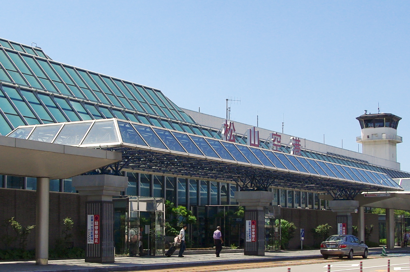
Matsuyama Airport
松山空港
Matsuyama kūkō |
 |
| IATA: MYJ – ICAO: RJOM |
| Summary |
| Airport type |
Public |
| Operator |
Ministry of Land, Infrastructure, Transport and Tourism |
| Serves |
Matsuyama |
| Elevation AMSL |
13 ft / 4 m |
| Coordinates |
33°49′38″N 132°41′59″E / 33.82722°N 132.69972°E / 33.82722; 132.69972 (Matsuyama Airport)Coordinates: 33°49′38″N 132°41′59″E / 33.82722°N 132.69972°E / 33.82722; 132.69972 (Matsuyama Airport) |
| Website |
www.matsuyama-airport.co.jp |
| Runways |
| Direction |
Length |
Surface |
| m |
ft |
| 14/32 |
2,500 |
8,202 |
Asphalt concrete |
| Source: Japanese AIP at AIS Japan |
Matsuyama Airport (松山空港, Matsuyama kūkō) is an airport located 3 NM (5.6 km; 3.5 mi) west southwest of Matsuyama, Ehime, Japan (IATA: MYJ, ICAO: RJOM).
Airlines and destinations
| Airlines |
Destinations |
| All Nippon Airways |
Nagoya-Centrair, Osaka-Itami, Tokyo-Haneda |
| Asiana Airlines |
Seoul-Incheon |
| China Eastern Airlines |
Shanghai-Pudong |
| Japan Airlines |
Fukuoka, Nagoya-Komaki, Tokyo-Haneda |
| Japan Airlines operated by Japan Air Commuter |
Kagoshima, Osaka-Itami |
| Japan Airlines operated by Japan Transocean Air |
Okinawa/Naha |
Statistics
Statistics for Matsuyama Airport
| Year |
Total Passengers |
| 2000 |
2,674,045 |
| 2001 |
2,666,972 |
| 2002 |
2,736,346 |
| 2003 |
2,633,410 |
| 2004 |
2,640,578 |
| 2005 |
2,693,188 |
The above content comes from Wikipedia and is published under free licenses – click here to read more.
| General Info
|
| Country |
Japan
|
| ICAO ID |
RJOM
|
| Time |
UTC+9
|
| Latitude |
33.827222
33° 49' 38.00" N
|
| Longitude |
132.699722
132° 41' 59.00" E
|
| Elevation |
25 feet
8 meters
|
| Type |
Civil
|
| Magnetic Variation |
007° W (01/06)
|
| Beacon |
Yes
|
| Operating Agency |
CIVIL GOVERNMENT, (LANDING FEES AND DIPLOMATIC CLEARANCE MAY BE REQUIRED)
|
| Island Group |
Shikoku I
|
| Operating Hours |
SEE REMARKS FOR OPERATING HOURS OR COMMUNICATIONS FOR POSSIBLE HOURS
|
| Communications
|
| TWR |
118.35
126.2
|
| ATIS |
126.65
|
| IWAKUNI APP |
128.0
236.2
|
| Runways
|
| ID |
Dimensions |
Surface |
PCN |
ILS
|
| 14/32 |
8200 x 150 feet
2499 x 46 meters |
ASPHALT |
063FBXT |
NO
|
| Navaids
|
| Type |
ID |
Name |
Channel |
Freq |
Distance From Field |
Bearing From Navaid
|
| VOR-DME |
MPE |
MATSUYAMA |
110X |
116.3 |
1.2 NM |
320.4
|
| Supplies/Equipment
|
| Fuel |
Jet A1+, Jet A1 with icing inhibitor.
100/130 octane gasoline, leaded, MIL-L-5572F (GREEN)
80/87 octane gasoline, leaded, MIL-L-5572F (RED)
|
| Remarks
|
| FUEL |
(NC-80, 100, A1)
|
| LGT |
PAPI Rwy 14 MEHT 66', Rwy 32 - 74'. Rwy 32 PAPI unused byd 3.5 NM due obst. ThldLgts Rwy 14-32.
|
| MISC |
Rwy grooved.
|
| NS ABTMT |
See FLIP PLANNING AP/3.
|
| OPR HOURS |
Opr 2230-1230Z.
|
The content above was published at Airports-Worldwide.com in 2010.
We don't guarantee the information is fresh and accurate. The data may be wrong or outdated.
For more up-to-date information please refer to other sources.
|
|