|
|
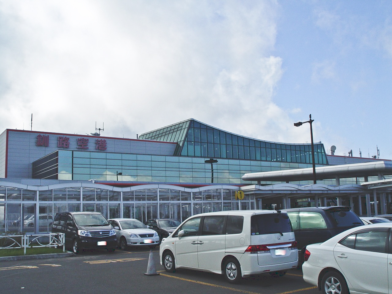
Kushiro Airport
釧路空港
Kushiro Kūkō |
 |
| IATA: KUH – ICAO: RJCK |
| Summary |
| Airport type |
Public |
| Operator |
Ministry of Land, Infrastructure and Transport |
| Location |
Kushiro |
| Elevation AMSL |
311 ft / 95 m |
| Coordinates |
43°02′27″N 144°11′35″E / 43.04083°N 144.19306°E / 43.04083; 144.19306 (Kushiro Airport)Coordinates: 43°02′27″N 144°11′35″E / 43.04083°N 144.19306°E / 43.04083; 144.19306 (Kushiro Airport) |
| Runways |
| Direction |
Length |
Surface |
| m |
ft |
| 17/35 |
2,500 |
8,202 |
Asphalt concrete |
| Source: Japanese AIP at AIS Japan |
Kushiro Airport (釧路空港, Kushiro Kūkō) (IATA: KUH, ICAO: RJCK) is an airport located 9 NM (17 km; 10 mi) west northwest of Kushiro, Hokkaidō, Japan. Airlines and destinations
| Airlines |
Destinations |
| All Nippon Airways |
Osaka-Itami [seasonal], Tokyo-Haneda |
| All Nippon Airways operated by Air Nippon Network |
Sapporo-Okadama [ends 30 June], Sapporo-Chitose [begins 1 July] |
| Japan Airlines |
Nagoya-Chubu [ends 5 May; seasonal], Osaka-Kansai [seasonal], Tokyo-Haneda |
| Japan Airlines operated by Hokkaido Air System |
Hakodate, Sapporo-Chitose, Sapporo-Okadama |
International charter flights to Kushiro began in 2000 and have operated from South Korea, Taiwan and Hong Kong. Korean Air plans to upgrade its summer charter service to scheduled service beginning in April 2008.
Terminal passenger features
Kushiro Airport has a passenger terminal on three levels, all scheduled flights use the same terminal.
First (ground) floor
- Arrivals situated on the right of the terminal building
- Car hire counters
- Tourist / visitor information desk
- ATM
- Display of stuffed cranes
- Small coffee shop
- JAL and ANA ticket desks
Second floor
- Various gift shops and coffee establishments
- Security check to departures
- "Pay for use Business room"
- "Pay for use Meeting Room"
- Coin Lockers
Third floor
- Viewing gallery
- Restaurant
Ground transport
A bus service runs between the Airport and town of Kushiro, taking about 25 minutes and calling at the railway station, "MOO" shopping complex and a few other locations. The bus is approximately timed with flight arrivals / departures.
A number of car hire companies have desks in the arrivals, all have off site parking, although this is no more than 2 minutes travel in the shuttle bus.
There is no rail link
The above content comes from Wikipedia and is published under free licenses – click here to read more.
| General Info
|
| Country |
Japan
|
| ICAO ID |
RJCK
|
| Time |
UTC+9
|
| Latitude |
43.040967
43° 02' 27.48" N
|
| Longitude |
144.192986
144° 11' 34.75" E
|
| Elevation |
327 feet
100 meters
|
| Type |
Civil
|
| Magnetic Variation |
008° W (01/06)
|
| Beacon |
Yes
|
| Operating Agency |
CIVIL GOVERNMENT, (LANDING FEES AND DIPLOMATIC CLEARANCE MAY BE REQUIRED)
|
| Island Group |
Hokkaido I
|
| Operating Hours |
SEE REMARKS FOR OPERATING HOURS OR COMMUNICATIONS FOR POSSIBLE HOURS
|
| Communications
|
| TWR |
118.05
126.2
|
| SAPPORO CON |
127.5
246.1
|
| Runways
|
| ID |
Dimensions |
Surface |
PCN |
ILS
|
| 17/35 |
8202 x 150 feet
2500 x 46 meters |
ASPHALT |
083FCXT |
YES
|
| Navaids
|
| Type |
ID |
Name |
Channel |
Freq |
Distance From Field |
Bearing From Navaid
|
| VOR-DME |
KSE |
KUSHIRO |
072X |
112.5 |
At Field |
-
|
| NDB |
KS |
KUSHIRO |
- |
194 |
At Field |
-
|
| Supplies/Equipment
|
| Fuel |
Jet fuel avaiable but type is unknown.
|
| Remarks
|
| FUEL |
(NC-100LL - 5 days PN, A-1)
|
| LGT |
PAPI MEHT Rwy 17-66', Rwy 35-74'. Thld lgt Rwy 17-35.
|
| MISC |
Rwy 17-35 ovrn 200'. Rwy grooved.
|
| OPR HOURS |
Opr 2300-1200Z.
|
The content above was published at Airports-Worldwide.com in 2010.
We don't guarantee the information is fresh and accurate. The data may be wrong or outdated.
For more up-to-date information please refer to other sources.
|
|