|
|
Kumamoto Airport
熊本空港
Kumamoto Kūkō |
 |
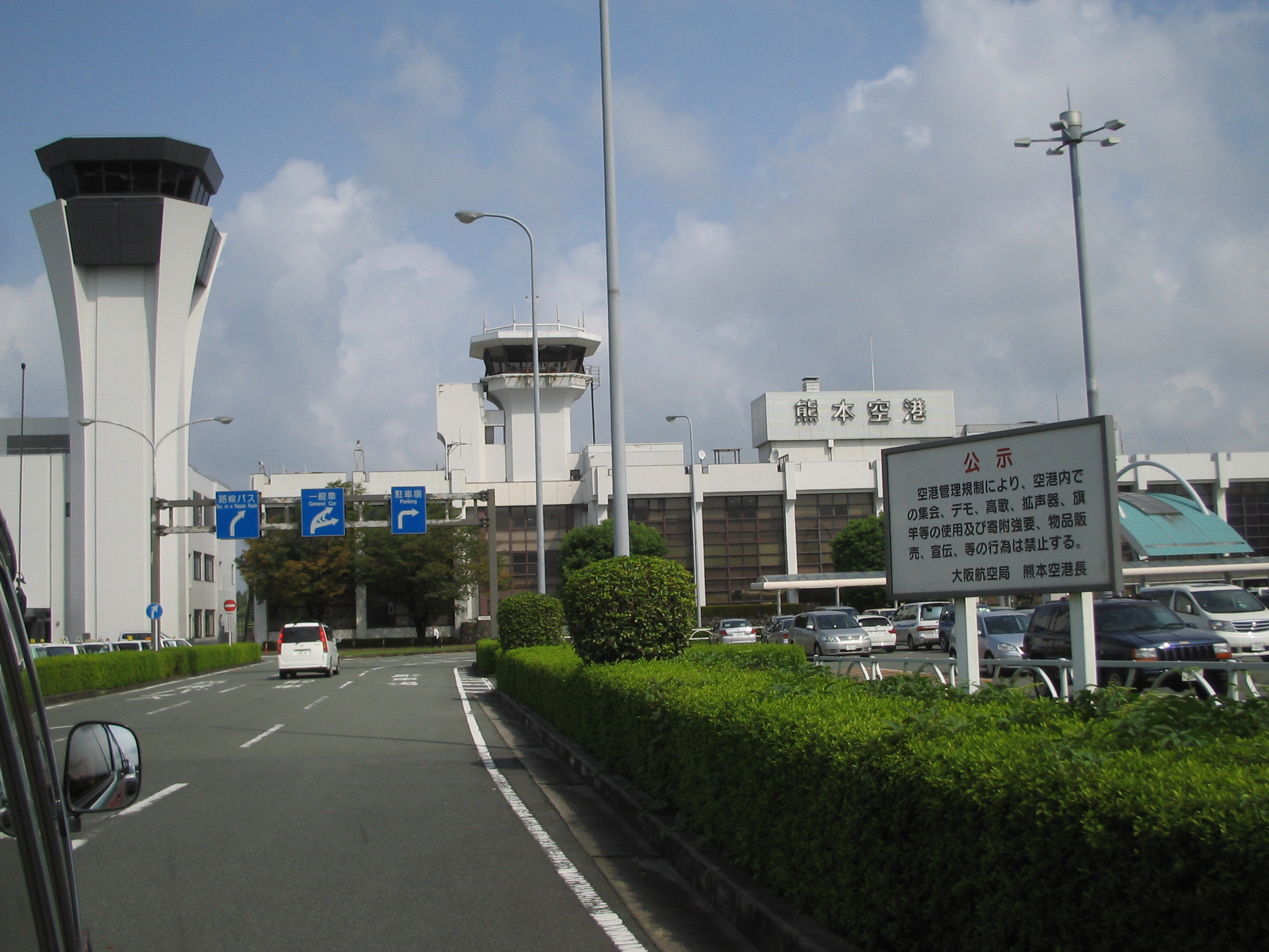
| Kumamoto Airport Entrance |
| IATA: KMJ – ICAO: RJFT |
| Summary |
| Airport type |
Public |
| Serves |
Mashiki, |
| Elevation AMSL |
632 ft / 193 m |
| Coordinates |
32°50′14″N 130°51′19″E / 32.83722°N 130.85528°E / 32.83722; 130.85528 (Kumamoto Airport)Coordinates: 32°50′14″N 130°51′19″E / 32.83722°N 130.85528°E / 32.83722; 130.85528 (Kumamoto Airport) |
| Website |
kmj-ab.co.jp/eng |
| Runways |
| Direction |
Length |
Surface |
| m |
ft |
| 07/25 |
3,000 |
9,840 |
Asphalt concrete |
| Source: Japanese AIP at AIS Japan |
Kumamoto Airport (熊本空港, Kumamoto Kūkō) (IATA: KMJ, ICAO: RJFT) is an airport in Mashiki, Kumamoto, Japan, 16 km (9.9 mi) northeast of Kumamoto Station om Kumamoto.
A planned merger of municipalities will be implemented around March 31, 2010; the City of Kumamoto will be merged with the Shimomashiki District town of Jonan and Mashiki. When the merger is completed the airport will be within the City of Kumamoto. Airlines and destinations
| Airlines |
Destinations |
| All Nippon Airways |
Nagoya-Centrair, Naha, Osaka-Itami, Tokyo-Haneda |
| Amakusa Airlines |
Amakusa, Kobe |
| Asiana Airlines |
Seoul-Incheon |
| Japan Airlines |
Nagoya-Komaki, Tokyo-Haneda |
| Japan Airlines operated by JAL Express |
Osaka-Itami, Tokyo-Haneda |
| Skymark Airlines |
Kobe, Tokyo-Haneda |
| Skynet Asia Airways |
Naha, Tokyo-Haneda |
Gallery
The above content comes from Wikipedia and is published under free licenses – click here to read more.
| General Info
|
| Country |
Japan
|
| ICAO ID |
RJFT
|
| Time |
UTC+9
|
| Latitude |
32.837319
32° 50' 14.35" N
|
| Longitude |
130.855050
130° 51' 18.18" E
|
| Elevation |
642 feet
196 meters
|
| Type |
Joint (Civil and Military)
|
| Magnetic Variation |
006° W (01/06)
|
| Beacon |
Yes
|
| Operating Agency |
MILITARY - CIVIL JOINT USE AIRPORT
|
| Island Group |
Kyushu I
|
| Operating Hours |
SEE REMARKS FOR OPERATING HOURS OR COMMUNICATIONS FOR POSSIBLE HOURS
|
| Communications
|
TWR
Opr 2230-1230Z, Fri-Mon.
|
118.7
122.9
126.2
258.9
|
| TCA |
123.85
|
| RAD |
122.9
258.9
|
KAGOSHIMA FSC
Opr 1600-2000Z, Tue-Thu.
|
118.7
|
| GND |
121.8
|
| DEP |
122.9
258.9
|
| ATIS |
128.8
|
| APP |
119.0
126.5
122.9
258.9
|
| Runways
|
| ID |
Dimensions |
Surface |
PCN |
ILS
|
| 07/25 |
9840 x 150 feet
2999 x 46 meters |
ASPHALT |
097FDXT |
YES
|
| Navaids
|
| Type |
ID |
Name |
Channel |
Freq |
Distance From Field |
Bearing From Navaid
|
| VOR-DME |
KUE |
KUMAMOTO |
075X |
112.8 |
At Field |
-
|
| NDB |
KU |
KUMAMOTO |
- |
249 |
4.8 NM |
072.8
|
| Supplies/Equipment
|
| Fuel |
Jet A, without icing inhibitor.
JP-4, Wide cut turbine fuel MIL Spec T-5624
100/130 octane gasoline, leaded, MIL-L-5572F (GREEN)
|
| Remarks
|
| FUEL |
(NC-100, A1, J4)
|
| LGT |
PAPI Rwy 07 MEHT 64', Rwy 25 - 74'.
|
| NS ABTMT |
See FLIP PLANNING, AP/3.
|
| OPR HOURS |
Opr 2230-1230Z.
|
| RSTD |
VFR acft arr or transit CTLZ ctc twr at least 10 NM fr arpt.
|
The content above was published at Airports-Worldwide.com in 2010.
We don't guarantee the information is fresh and accurate. The data may be wrong or outdated.
For more up-to-date information please refer to other sources.
|
|