|
|
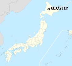
Asahikawa Airport
旭川空港
Asahikawa Kūkō |
 |
IATA: AKJ – ICAO: RJEC
 |
| Summary |
| Airport type |
Public |
| Operator |
City of Asahikawa |
| Serves |
Asahikawa, Hokkaidō, Japan |
| Elevation AMSL |
690 ft / 210 m |
| Coordinates |
43°40′15″N 142°26′51″E / 43.67083°N 142.4475°E / 43.67083; 142.4475 (Asahikawa Airport)Coordinates: 43°40′15″N 142°26′51″E / 43.67083°N 142.4475°E / 43.67083; 142.4475 (Asahikawa Airport) |
| Runways |
| Direction |
Length |
Surface |
| m |
ft |
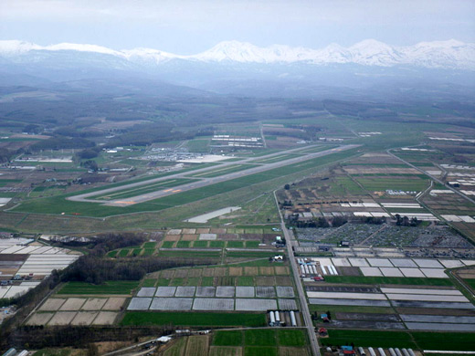
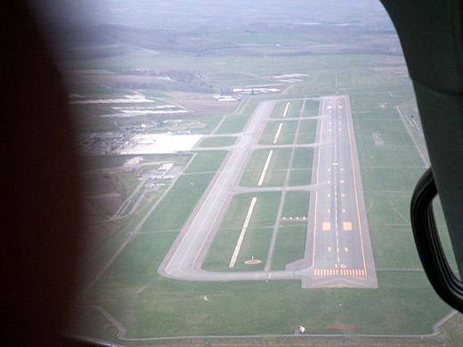
| 16/34 |
2,500 |
8,202 |
Asphalt concrete |
| Source: Japanese AIP at AIS Japan |
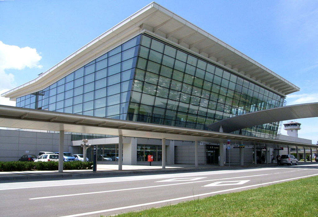
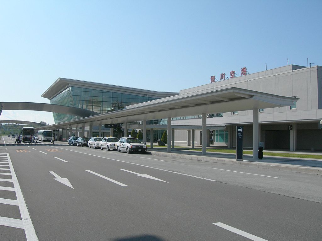
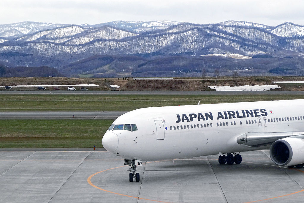
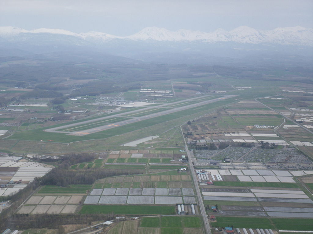
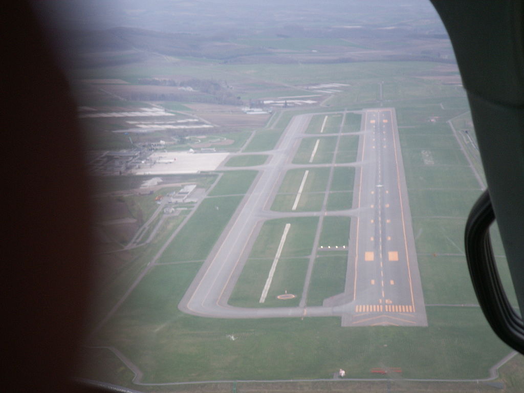
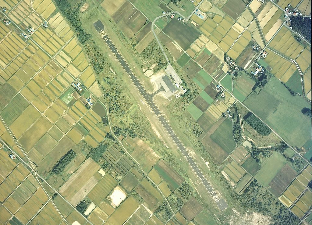
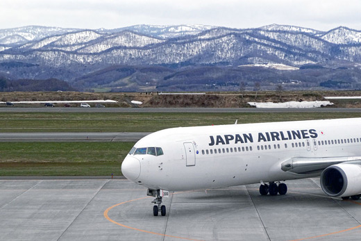
Asahikawa Airport (旭川空港, Asahikawa Kūkō) (IATA: AKJ, ICAO: RJEC), is a single-runway regional airport in Hokkaidō, Japan, straddling the cities of Asahikawa and Higashikagura. It is a second class airport.

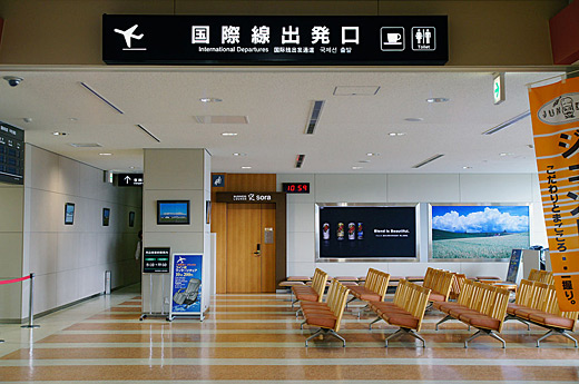
Asahikawa Airport
Click to enlarge
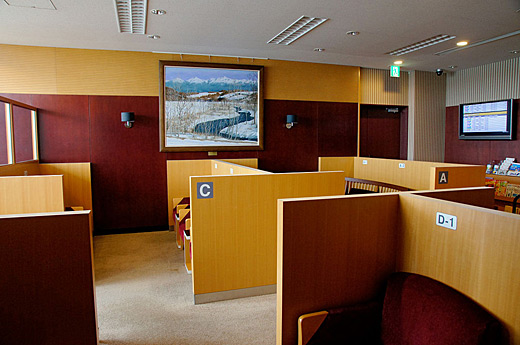
Asahikawa Airport
Click to enlarge
Asahikawa Airport
Click to enlarge
Asahikawa Airport
Click to enlarge

Asahikawa Airport
Click to enlarge
Asahikawa Airport
Click to enlarge
Asahikawa Airport
Click to enlarge
Airlines and destinations
| Airlines |
Destinations |
| Air Do |
Tokyo-Haneda |
| All Nippon Airways operated by Air Nippon Network |
Nagoya-Centrair, Osaka-Kansai [seasonal] |
| Asiana Airlines |
Seoul-Incheon [seasonal] |
| China Eastern Airlines |
Shanghai-Pudong (charters) |
| Hokkaido Air System |
Hakodate |
| Japan Airlines |
Tokyo-Haneda |
| Skymark Airlines |
Kobe, Sapporo-Chitose, Tokyo-Haneda |
| TransAsia Airways |
Taipei-Taoyuan (charters) |
The above content comes from Wikipedia and is published under free licenses – click here to read more.
| General Info
|
| Country |
Japan
|
| ICAO ID |
RJEC
|
| Time |
UTC+9
|
| Latitude |
43.670833
43° 40' 15.00" N
|
| Longitude |
142.447500
142° 26' 51.00" E
|
| Elevation |
721 feet
220 meters
|
| Type |
Civil
|
| Magnetic Variation |
009° W (01/06)
|
| Beacon |
Yes
|
| Operating Agency |
CIVIL GOVERNMENT, (LANDING FEES AND DIPLOMATIC CLEARANCE MAY BE REQUIRED)
|
| Island Group |
Hokkaido I
|
| Operating Hours |
SEE REMARKS FOR OPERATING HOURS OR COMMUNICATIONS FOR POSSIBLE HOURS
|
| Communications
|
| DAISETSU TWR |
118.55
126.2
|
SAPPORO CON
Opr H24
|
127.5
246.1
|
| Runways
|
| ID |
Dimensions |
Surface |
PCN |
ILS
|
| 16/34 |
8200 x 200 feet
2499 x 61 meters |
ASPHALT |
083FCXT |
YES
|
| Navaids
|
| Type |
ID |
Name |
Channel |
Freq |
Distance From Field |
Bearing From Navaid
|
| VOR-DME |
AWE |
ASAHIKAWA |
082X |
113.5 |
At Field |
-
|
| Supplies/Equipment
|
| Fuel |
Jet A1, without icing nhibitor.
100/130 MIL Spec, low lead, aviation gasoline (BLUE)
|
| Remarks
|
| FUEL |
(NC-100LL, A1)
|
| LGT |
PAPI Rwy 16 MEHT 74'; Rwy 34 MEHT 66'.
|
| MISC |
Rwy grooved.
|
| OPR HOURS |
Opr 2300-1200Z.
|
The content above was published at Airports-Worldwide.com in 2010.
We don't guarantee the information is fresh and accurate. The data may be wrong or outdated.
For more up-to-date information please refer to other sources.
|
|