 |
 |
|
||||
|
Images and information placed above are from
Runway 15/334905 x 95 feet
|
||||||||||||||||||||||||||||||||||||||||||||||||||||||||||||||||||||||||||||||||||||||||||||||||||
| Runway 15 | |
|---|---|
| Surface | ASPHALT |
| True Heading | 147.0 |
| Latitude | 30.864028 30° 51' 50.50" N |
| Longitude | 34.439325 034° 26' 21.57" E |
| Landing Distance | 4905 feet 1495 meters |
| Takeoff Distance | 5100 feet 1554 meters |
| Overrun Length | 195 feet 59 meters |
| Overrun Surface | ASPHALT |
| Runway 33 | |
|---|---|
| Surface | ASPHALT |
| True Heading | 327.0 |
| Latitude | 30.852747 30° 51' 09.89" N |
| Longitude | 34.447889 034° 26' 52.40" E |
| Landing Distance | 4905 feet 1495 meters |
| Takeoff Distance | 5100 feet 1554 meters |
| Overrun Length | 195 feet 59 meters |
| Overrun Surface | ASPHALT |
The content above was published at Airports-Worldwide.com in 2005.
We don't guarantee the information is fresh and accurate. The data may be wrong or outdated.
For more up-to-date information please refer to other sources.

 |
|
Copyright 2004-2026 © by Airports-Worldwide.com, Vyshenskoho st. 36, Lviv 79010, Ukraine Legal Disclaimer |
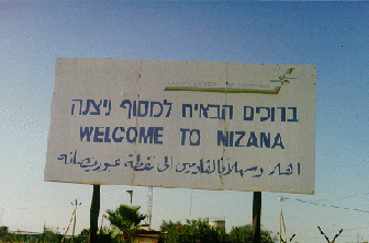 Nizzana
was the only site with a very heavy military presence.
Nizzana
was the only site with a very heavy military presence.