|
|
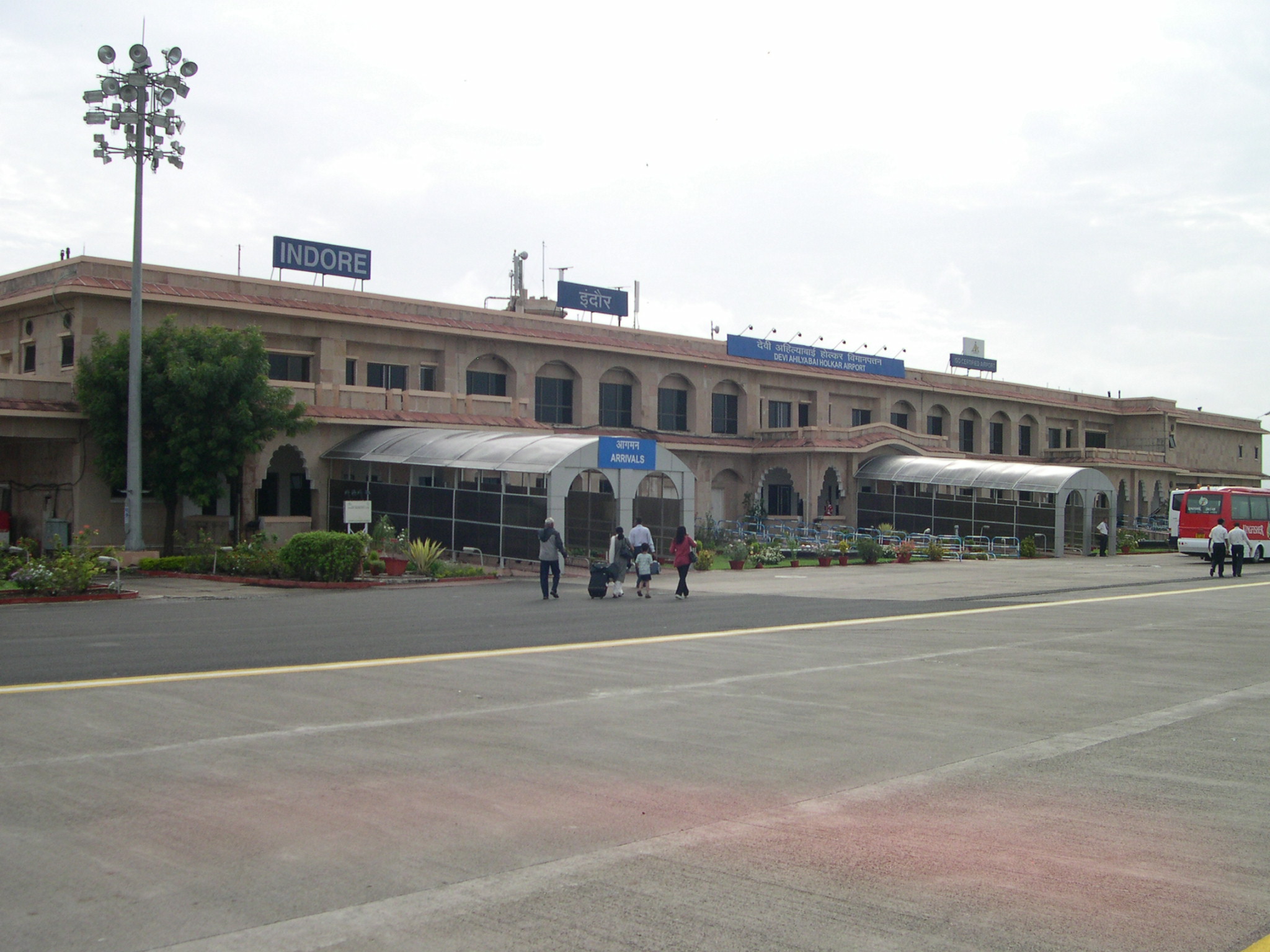
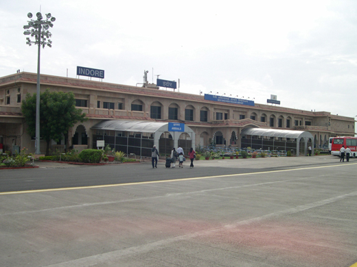
Devi Ahilyabai Holkar Airport |
Devi Ahilyabai Holkar Airport
देवी अहिल्या बाई होलकर विमानतल |
 |
| IATA: IDR – ICAO: VAID |
| Summary |
| Airport type |
Public |
| Operator |
Airports Authority of India |
| Location |
Indore, India |
| Elevation AMSL |
1,850 ft / 564 m |
| Coordinates |
22°43′18″N 75°48′03″E / 22.72167°N 75.80083°E / 22.72167; 75.80083 |
| Runways |
| Direction |
Length |
Surface |
| ft |
m |
| 07/25 |
9022 |
2,750 |
Composite |
Devi Ahilyabai Holkar International Airport (Hindi: देवी अहिल्या बाई होलकर विमानतल, इंदौर, Marathi: देवी अहिल्या बाई होळकर विमानतळ, इन्दुर (IATA: IDR, ICAO: VAID) is the busiest airport in the Madhya Pradesh state of India and is situated 8 km south east of Indore. According to the statistics released by the Airports Authority of India, the agency responsible for the airport, it is the 22nd busiest airport in India. A new terminal building is under construction and the runway is being extended as a part of the expansion plan or the airport.
The airport is named for Devi Ahilyabai Holkar (or Ahilya Bai Holkar), ruler of Indore and the adjoining regions from 1767 to 1795.
Since 2008, seasonal Haj charters also operate from Indore. Airlines and destinations
| Airlines |
Destinations |
| GoAir |
Bangalore, Delhi |
| Indian Airlines |
Bhopal, Delhi, Mumbai |
| Jet Airways |
Ahmedabad, Bhopal, Hyderabad, Mumbai, Pune, Raipur |
| JetLite |
Bhopal, Delhi, Mumbai, Nagpur |
| Kingfisher Airlines |
Ahmedabad, Bangalore, Delhi, Goa, Hyderabad, Kolkata, Mumbai, Nagpur, Pune, Raipur |
Image gallery
The above content comes from Wikipedia and is published under free licenses – click here to read more.
| General Info
|
| Country |
India
|
| ICAO ID |
VAID
|
| Time |
UTC+5:30
|
| Latitude |
22.721786
22° 43' 18.43" N
|
| Longitude |
75.801086
075° 48' 03.91" E
|
| Elevation |
1850 feet
564 meters
|
| Type |
Civil
|
| Magnetic Variation |
000° W (01/06)
|
| Beacon |
Yes
|
| Operating Agency |
CIVIL GOVERNMENT, (LANDING FEES AND DIPLOMATIC CLEARANCE MAY BE REQUIRED)
|
| Alternate Name |
INDORE
|
| Near City |
Indore
|
| Communications
|
| INDORE TWR |
122.8
|
| INDORE APP |
122.3
|
| Runways
|
| ID |
Dimensions |
Surface |
PCN |
ILS
|
| 07/25 |
7480 x 148 feet
2280 x 45 meters |
COMPOSITE, LESS THAN 50 PERCENT OF THE RUNWAY LENGTH IS PERMANENT. |
057RCXU |
YES
|
| Navaids
|
| Type |
ID |
Name |
Channel |
Freq |
Distance From Field |
Bearing From Navaid
|
| VOR-DME |
IID |
INDORE |
114X |
116.7 |
At Field |
-
|
| NDB |
ID |
INDORE |
- |
335 |
At Field |
-
|
| Supplies/Equipment
|
| Fuel |
Jet A1, without icing nhibitor.
100/130 octane gasoline, leaded, MIL-L-5572F (GREEN)
|
| Remarks
|
| FUEL |
Avbl 0200-1000Z. (NC-100LL, A1)
|
| OPR HOURS |
Opr HO.
|
The content above was published at Airports-Worldwide.com in 2010.
We don't guarantee the information is fresh and accurate. The data may be wrong or outdated.
For more up-to-date information please refer to other sources.
|
|