|
 |
|
||||
|
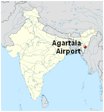
Agartala Airport (IATA: IXA, ICAO: VEAT) is located 12 km (6.5 nautical miles) northwest from the city of Agartala, the capital of the state of Tripura in India. It is administered by the Airports Authority of India (AAI)[2] providing world class amenities to passengers. The authority also ensures comfort and safety to the travelers. It is the second busiest airport in Northeast India after Guwahati. From 2010 to 2011 it was ranked 22nd busiest airport in India out of 50 major airports.
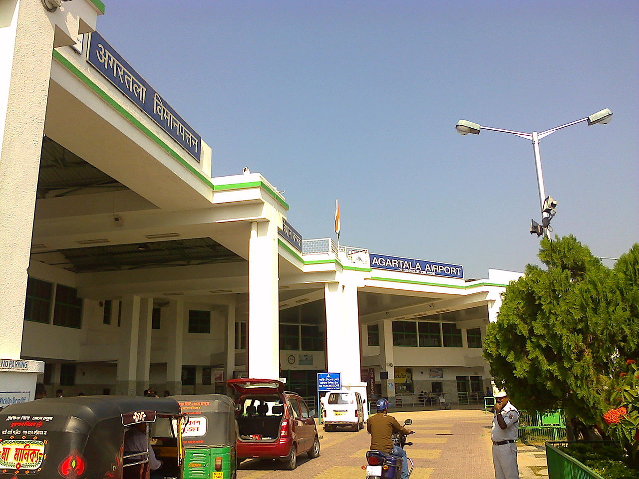
Agartala Airport - Departure Terminal of Agartala Airport
Agartala Airport - Rear View of the airport HistoryIn the year 1942, the 184th King of Tripura of Manikya Dynasty Maharaja Bir Bikram Kishore Manikya Bahadur planned to build an airport in Singerbhill, Tripura (Twipanga) at a time when there were hardly anyone in the region. The King is considered the father of modern architecture in Tripura who built the airport and also designed it during World War II. It had one primary runway 05/23 which is now used as a taxiway to Runway 18/36. During World War II, the airport was used by the United States Army Air Forces Tenth Air Force 4th Combat Cargo Group, which flew C-46 Commando transport aircraft over Burma. The airport was used as a supply point from which the unit air-dropped pallets of supplies and ammunition to the advancing Allied forces on the ground. The 4th CCG operated from the airport during December 1944 and January 1945, after which, the unit moved to Chittagong. Facilities at airportPassengers can get there luggage trolleys to carry there baggage. One can find a wrapping machine instrument. Baggage service is quite good and one can easily carry out once luggage in and out of the airport. Connectivity with the cityBus: Agartala Airport is approximately 11.5 km away from the main bus stand of the city. One can find a good number of private buses, one can also hire auto-rickshaws. Rail: Railways is limited to Agartala Railway Station located approximately 15.4 KM from the airport. One can fine a good number of auto rickshaws and buses which will reach the airport within an hour. Cargo AirlinesIndia post Cargo Freight flight is operated by Air India Cargo making the basic cargo delivery and recently Quickjet cargo also introduces its service from agartala.
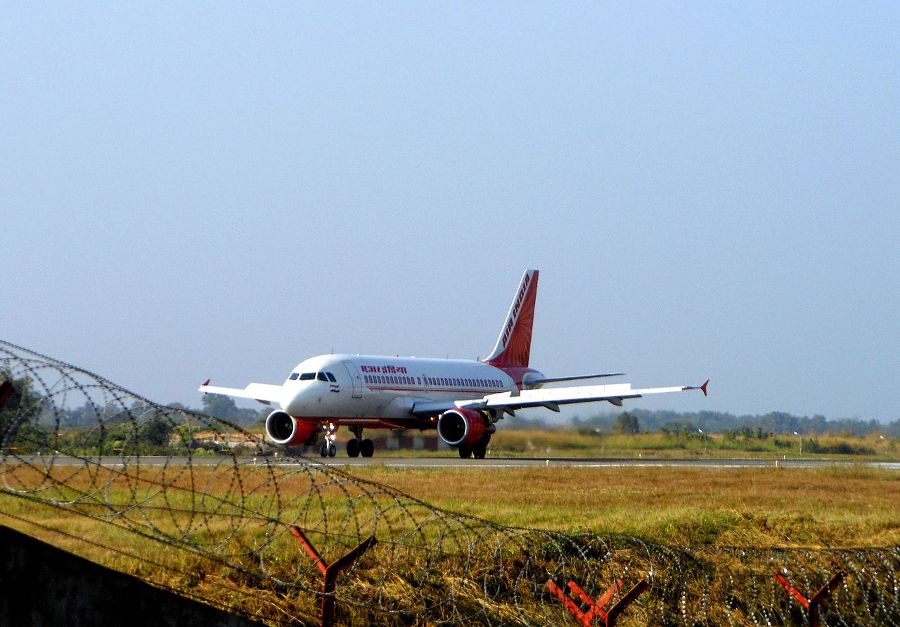
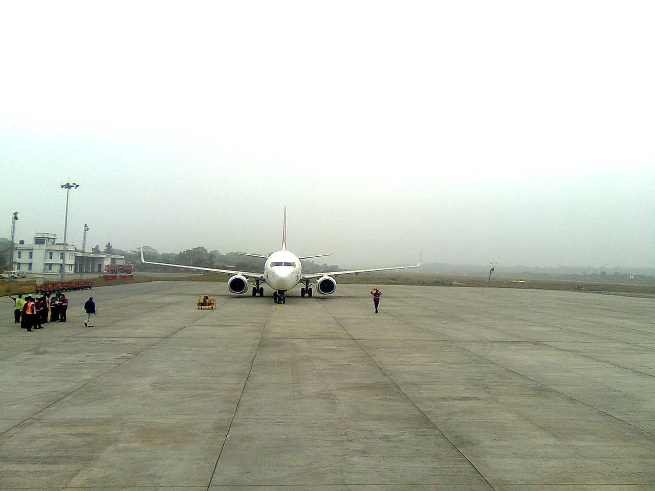
Agartala Airport - Air India Taxing in runway 18-36
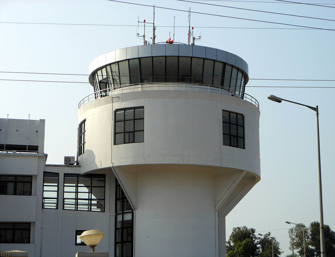
Agartala Airport - Airport's new ATC
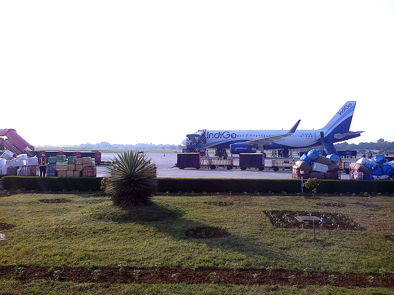
Agartala Airport - Indigo at Agartala Airport
Agartala Airport - SpiceJet at agartala airport
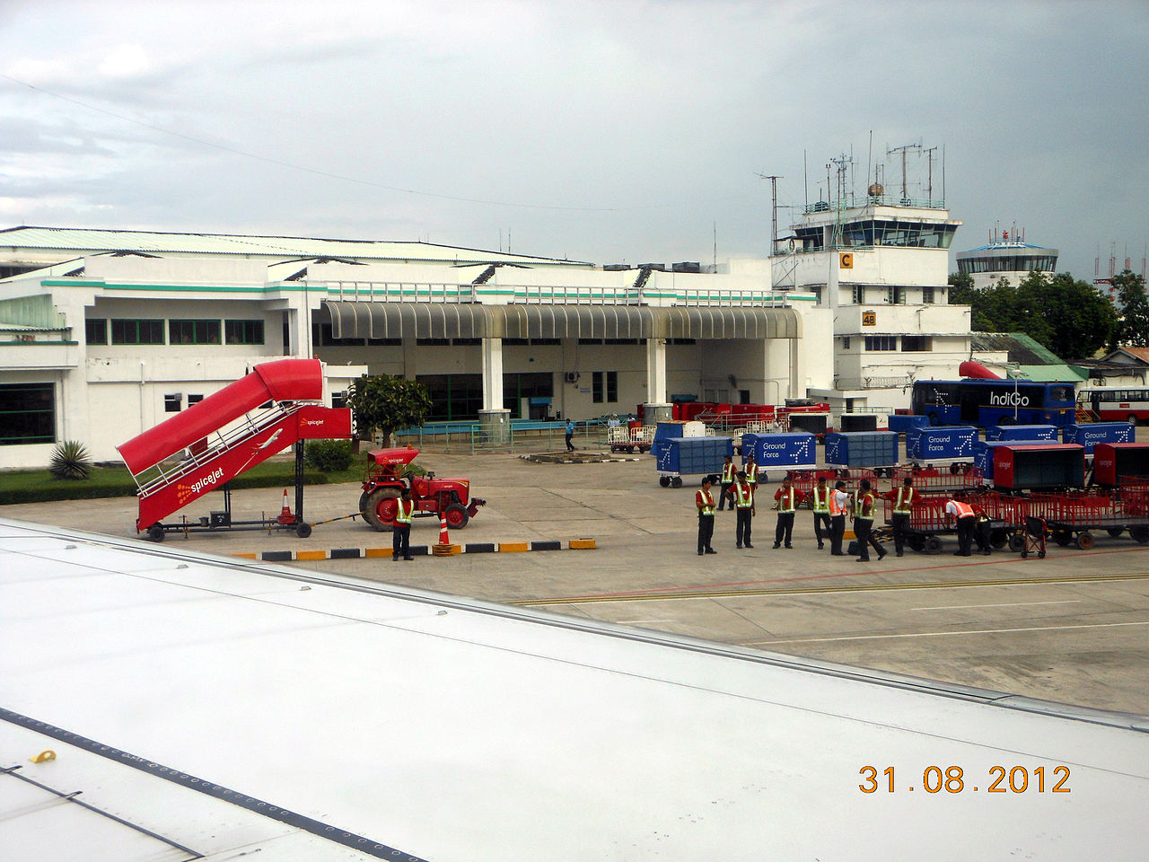
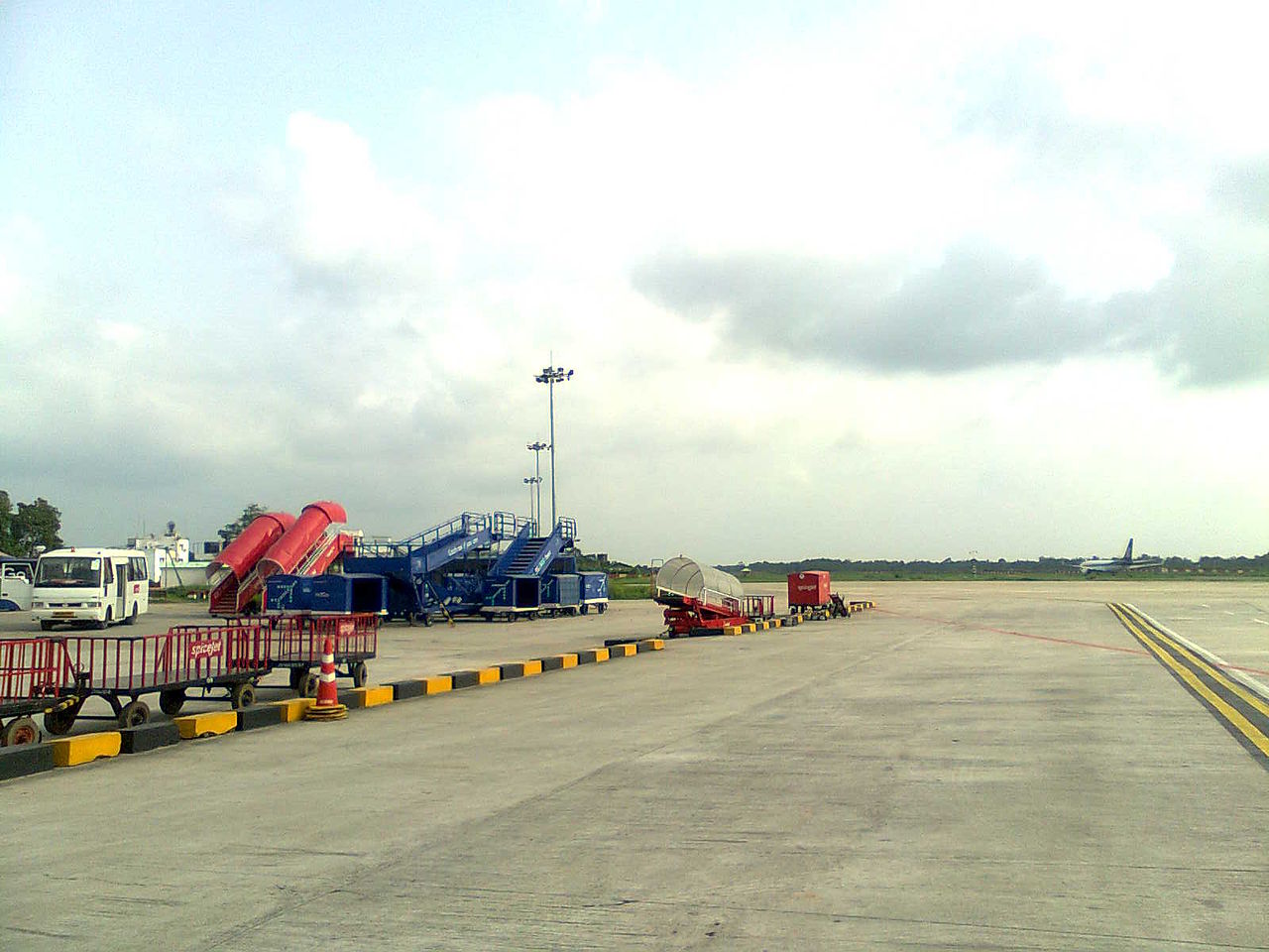
Agartala Airport - Apron of agartala airport Airlines and destinations
|
|||||||||||||||||||||||||||||||||||||||||||||||||||||||||||||||||||||||||||||||||||||||||||||||||||||||||||||||||||||||||||||||||||||||||||||||||||||||||||||||||||||||||||||||
| General Info | |
|---|---|
| Country | India |
| ICAO ID | VEAT |
| Time | UTC+5:30 |
| Latitude | 23.886978 23° 53' 13.12" N |
| Longitude | 91.240450 091° 14' 25.62" E |
| Elevation | 46 feet 14 meters |
| Magnetic Variation | 000° W (01/06) |
| Beacon | Yes |
| Operating Agency | CIVIL GOVERNMENT, (LANDING FEES AND DIPLOMATIC CLEARANCE MAY BE REQUIRED) |
| Communications | |
|---|---|
| TWR | 123.5
122.7 |
| Runways | ||||
|---|---|---|---|---|
| ID | Dimensions | Surface | PCN | ILS |
| 18/36 | 7500 x 148 feet 2286 x 45 meters |
ASPHALT | 040RCXT | NO |
| Navaids | ||||||
|---|---|---|---|---|---|---|
| Type | ID | Name | Channel | Freq | Distance From Field | Bearing From Navaid |
| VOR-DME | AAT | AGARTALA | 108X | 116.1 | At Field | - |
| NDB | AT | AGARTALA | - | 237 | At Field | - |
| Supplies/Equipment | |
|---|---|
| Fuel | Jet A1, without icing nhibitor. |
| Remarks | |
|---|---|
| FUEL | (NC-100, A1) |
| LGT | Rwy 18 displ thld mrk by wing bar lgt. |
| OPR HOURS | Opr HO. |
| RSTD | Rwy 05-23 clsd. Taxing and parking avbl fr Rwy 23 turnaround to int with Rwy 18-36. |
The content above was published at Airports-Worldwide.com in 2010.
We don't guarantee the information is fresh and accurate. The data may be wrong or outdated.
For more up-to-date information please refer to other sources.

 |
|
Copyright 2004-2026 © by Airports-Worldwide.com, Vyshenskoho st. 36, Lviv 79010, Ukraine Legal Disclaimer |