 |
|
Mountain Point Airport (ICAO: SYMP) is an airport in the Upper Takutu-Upper Essequibo Region of Guyana. The nearest community is Sand Creek (13 km/8.1 miles east).
|
Mountain Point Airport |
|
|
| Summary |
| Serves |
Sand Creek |
| Elevation AMSL |
400 ft / 122 m |
| Coordinates |
2°59′55″N
59°37′50″W |
| Map |
|
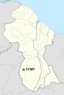
Location in Guyana
|
| Runways |
| Direction |
Length |
Surface |
| m |
ft |
| 09/27 |
1,550 |
5,085 |
Grass |
|
|
Sources: Google Maps GCM |
The above content comes from Wikipedia and is published under free licenses – click here to read more.
The content above was published at Airports-Worldwide.com in 2020.
We don't guarantee the information is fresh and accurate. The data may be wrong or outdated.
For more up-to-date information please refer to other sources.
|
|


