 |
|
Lumid Pau Airport (IATA: LUB, ICAO: SYLP) is an airport serving the village of Lumid Pau, in the Upper Takutu-Upper Essequibo Region of Guyana.
|
Lumid Pau Airport |
|
|
| Summary |
| Serves |
Lumid Pau |
| Elevation AMSL |
551 ft / 168 m |
| Coordinates |
2°23′40″N
59°26′15″W |
| Map |
|
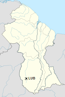
Location in Guyana
|
| Runways |
| Direction |
Length |
Surface |
| m |
ft |
| 12/30 |
1,000 |
3,281 |
Grass |
|
|
Sources: Google Maps GCM |
The above content comes from Wikipedia and is published under free licenses – click here to read more.
The content above was published at Airports-Worldwide.com in 2020.
We don't guarantee the information is fresh and accurate. The data may be wrong or outdated.
For more up-to-date information please refer to other sources.
|
|


