|
Kato Airport (IATA: KTO, ICAO: SYKT) is an airport serving the village of Kato, in the Potaro-Siparuni Region of Guyana.
The Kato non-directional beacon (Ident: KTO) is 1 kilometre (0.62 mi) east of the field.
|
Kato Airport |
|
|
| Summary |
| Serves |
Kato |
| Elevation AMSL |
2,299 ft / 701 m |
| Coordinates |
4°39′00″N
59°49′50″W |
| Map |
|
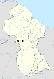
Location in Guyana
|
| Runways |
| Direction |
Length |
Surface |
| m |
ft |
| 08/26 |
920 |
3,018 |
Gravel |
|
|
Sources: Bing Maps GCM |
The above content comes from Wikipedia and is published under free licenses – click here to read more.
The content above was published at Airports-Worldwide.com in 2020.
We don't guarantee the information is fresh and accurate. The data may be wrong or outdated.
For more up-to-date information please refer to other sources.
|


