 |
|
Baramita Airport (IATA: BMJ, ICAO: SYBR) is an airport serving the Amerindian village of Baramita, in the Barima-Waini Region of Guyana.
|
Baramita Airport |
|
|
| Summary |
| Serves |
Baramita |
| Elevation AMSL |
499 ft / 152 m |
| Coordinates |
7°22′20″N
60°29′15″W |
| Map |
|
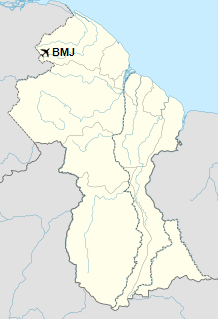
Location in Guyana
|
| Runways |
| Direction |
Length |
Surface |
| m |
ft |
| 07/25 |
914 |
2,999 |
Grass |
|
|
Sources: HERE Maps GCM SkyVector |
The above content comes from Wikipedia and is published under free licenses – click here to read more.
The content above was published at Airports-Worldwide.com in 2020.
We don't guarantee the information is fresh and accurate. The data may be wrong or outdated.
For more up-to-date information please refer to other sources.
|
|


