|
Uaxactun Airport (IATA: UAX) is an airstrip in the village of Uaxactun, Guatemala.
The airstrip may be closed. Aerial imagery (Google Earth 3/27/2014) shows less than 300 metres (980 ft) of grass
landing area remaining unobstructed by trees and structures.
The Tikal VOR-DME (Ident: TIK) is located 31.8 nautical miles (58.9 km) south-southwest of Uaxactun.
|
Uaxactun Airport |
|
|
| Summary |
| Serves |
Uaxactun, Guatemala |
| Elevation AMSL |
573 ft / 175 m |
| Coordinates |
17°23′35″N
89°38′05″W |
| Map |
|
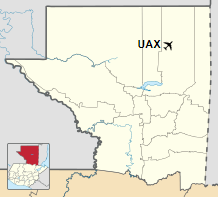
Location in Petén Department
|
| Runways |
| Direction |
Length |
Surface |
| m |
ft |
| 04/22 |
300 |
984 |
Grass |
|
|
Sources: OurAirports ASN |
The above content comes from Wikipedia and is published under free licenses – click here to read more.
The content above was published at Airports-Worldwide.com in 2020.
We don't guarantee the information is fresh and accurate. The data may be wrong or outdated.
For more up-to-date information please refer to other sources.
|


