|
Carmelita Airport (IATA: CMM, ICAO: MGCR) is an airstrip serving Carmelita, a small community in the Maya Biosphere Reserve of Guatemala.
A section of the runway also serves as a street in the village.
Google Earth Historical Imagery (3/18/2015) shows trees that formerly impinged the runway in a previous image (12/9/2012) have been removed.
The Tikal VOR-DME (Ident: TIK) is located 34.1 nautical miles (63.2 km) south-southeast of the airstrip.
|
Carmelita Airport |
|
|
| Summary |
| Airport type |
Public |
| Serves |
Carmelita, Guatemala |
| Location |
Maya Biosphere Reserve |
| Elevation AMSL |
753 ft / 230 m |
| Coordinates |
17°27′45″N
90°03′10″W |
| Map |
|
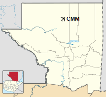
Location in Petén Department
|
| Runways |
| Direction |
Length |
Surface |
| m |
ft |
| 06/24 |
640 |
2,100 |
Grass |
|
|
Source: GCM Bing Maps |
The above content comes from Wikipedia and is published under free licenses – click here to read more.
The content above was published at Airports-Worldwide.com in 2020.
We don't guarantee the information is fresh and accurate. The data may be wrong or outdated.
For more up-to-date information please refer to other sources.
|


