 |
|
Saül Airport (IATA: XAU, ICAO: SOOS) is an airstrip serving Saül, a commune of French Guiana.
The airport is just southeast of the village. There are low hills west and northeast of the runway. The Saul non-directional beacon (Ident: SU) is located in the village.
|
Saül Airport |
|
|
| Summary |
| Operator |
Conseil Général de la Guyane |
| Serves |
Saül, French Guiana |
| Elevation AMSL |
703 ft / 214 m |
| Coordinates |
03°36′55″N
53°12′15″W |
| Map |
|
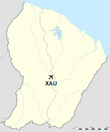
Location of airport in French Guiana
|
| Runways |
| Direction |
Length |
Surface |
| m |
ft |
| 04/22 |
1,300 |
4,265 |
Dirt |
|
|
Source: GCM Google Maps |
Airlines and destinations
| Airlines |
Destinations |
| Air Guyane Express |
Cayenne, Maripasoula |
The above content comes from Wikipedia and is published under free licenses – click here to read more.
The content above was published at Airports-Worldwide.com in 2020.
We don't guarantee the information is fresh and accurate. The data may be wrong or outdated.
For more up-to-date information please refer to other sources.
|
|


