|
|
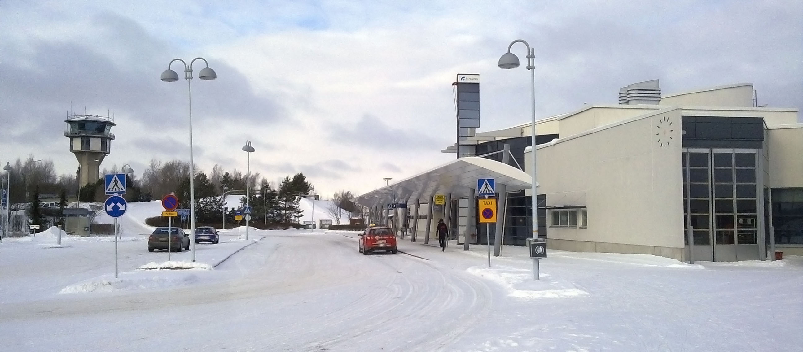
Vaasa Airport (Finnish: Vaasan lentoasema, Swedish: Vasa flygplats) (IATA: VAA, ICAO: EFVA) is located in Vaasa, Finland, about 9 kilometres (5.6 mi) south-east of Vaasa city centre. It is the 6th biggest airport in Finland in terms of passengers. In 2018, 315,900 passengers traveled via the airport.
|
Vaasa Airport
Vaasan lentoasema
Vasa flygplats
|
|
|
|
| Summary |
| Airport type |
Public |
| Operator |
Finavia |
| Location |
Vaasa, Finland |
| Elevation AMSL |
6 m / 21 ft |
| Coordinates |
63°02′43″N
021°45′51″E |
| Website |
finavia.fi/airport_vaasa |
| Map |
|
|
| Runways |
| Direction |
Length |
Surface |
| m |
ft |
| 16/34 |
2,500 |
8,202 |
Asphalt |
|
| Statistics (2017) |
| Passengers |
315,900 |
| Landings |
2,893 |
|
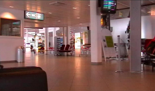
Interior of Vaasa Airport Terminal
History
The airport was opened in 1938 when Aero began passenger traffic, which was later interrupted by the war. In 1945 the airport building was completed and passenger routes were reopened.
The airport took it current shape in the 1950s, when the runway was extended to 1,800 metres and the airport building was expanded. In 1951 Vaasa Airport got its first international connection as Veljekset Karhumäki opened a route to Sundsvall in Sweden. In 1971 the runway was extended to 2,000 metres and Finnair began jet traffic with DC-9 aircraft.
In 1993 the third and most significant expansion at the airport was completed, with the airport getting separate facilities for domestic and international traffic and with a significant improvement of the airport’s services. In 1998 Vaasa Airport took a step towards more international aviation, as the runway was extended to 2,500 metres in October. In 2014 the terminal’s renovation was completed: a new baggage claim hall, security control rearrangement, another café and a new store.
In 2005, 2008, and once again in 2017 Vaasa Airport was chosen as the Airport of the Year in Finland.
Regular users of Vaasa airport are Finnair and Scandinavian Airlines. The airport is also served by several charters with destinations to Bulgaria, Canary Islands, Greece, Spain, Turkey and Thailand.
Airlines and destinations
| Destinations |
| Aegean Airlines |
Seasonal charter: Chania |
| Finnair |
Helsinki |
| Scandinavian Airlines |
Stockholm-Arlanda |
| Thomas Cook Airlines Scandinavia |
Seasonal: Amsterdam, Gran Canaria |
Annual passenger statistics for Vaasa Airport
| Year |
Domestic passengers |
International passengers |
Total passengers |
Change |
| 2000 |
227,523 |
98,851 |
326,374 |
+4.2% |
| 2001 |
216,409 |
95,651 |
312,060 |
-4.4% |
| 2002 |
194,651 |
74,466 |
269,117 |
-13.8% |
| 2003 |
169,088 |
79,836 |
248,924 |
-7.5% |
| 2004 |
166,836 |
94,480 |
261,316 |
+5.0% |
| 2005 |
178,378 |
118,886 |
297,264 |
+13.8% |
| 2006 |
195,045 |
111,106 |
306,151 |
+3.0% |
| 2007 |
213,833 |
108,095 |
321,928 |
+5.3% |
| 2008 |
234,447 |
108,948 |
343,395 |
+6.7% |
| 2009 |
207,274 |
86,983 |
294,257 |
-14.3% |
| 2010 |
194,102 |
94,040 |
288,142 |
-2.1% |
| 2011 |
226,931 |
111,568 |
338,499 |
+18.0% |
| 2012 |
218,742 |
155,399 |
374,141 |
+10.5% |
| 2013 |
185,562 |
133,753 |
319,315 |
-14.7% |
| 2014 |
184,316 |
141,570 |
325,886 |
+2.1% |
| 2015 |
162,864 |
119,573 |
282,437 |
-13.3% |
| 2016 |
173,541 |
114,979 |
288,520 |
+2.2% |
| 2017 |
162,333 |
137,785 |
300,118 |
+4.0% |
| 2018 |
166,195 |
149,705 |
315,900 |
+5.3% |
Ground transportation
| Means of transport at Vaasa Airport |
| Means of transport |
Operator |
Route |
Destinations |
Website |
Notes |
| Bus |
Vaasa Local Traffic |
4, 10 |
Market Square (Finnish: Kauppatori, Swedish: Salutorget) |
www.vaasanpaikallisliikenne.fi |
Every hour on weekdays |
| Taxi |
Taksi Vaasa-Vasa |
Taxi |
Vaasa |
www.taksivaasa.fi |
|
The above content comes from Wikipedia and is published under free licenses – click here to read more.
| General Info
|
| Country |
Finland
|
| ICAO ID |
EFVA
|
| Time |
UTC+2(+3DT)
|
| Latitude |
63.050650
63° 03' 02.34" N
|
| Longitude |
21.762175
021° 45' 43.83" E
|
| Elevation |
19 feet
6 meters
|
| Type |
Civil
|
| Magnetic Variation |
006° E (01/06)
|
| Operating Agency |
CIVIL GOVERNMENT, (LANDING FEES AND DIPLOMATIC CLEARANCE MAY BE REQUIRED)
|
| International Clearance Status |
Airport of Entry
|
| Daylight Saving Time |
Last Sunday in March to last Sunday in October
|
| Communications
|
| TWR |
119.3
119.7
|
ATIS
Opr H24.
|
114.5
|
| Runways
|
| ID |
Dimensions |
Surface |
PCN |
ILS
|
| 16/34 |
8727 x 157 feet
2660 x 48 meters |
ASPHALT |
095FAWT |
YES
|
| Navaids
|
| Type |
ID |
Name |
Channel |
Freq |
Distance From Field |
Bearing From Navaid
|
| VOR-DME |
VAS |
VAASA |
092X |
114.5 |
At Field |
-
|
| Supplies/Equipment
|
| Fuel |
Jet A1, without icing nhibitor.
100/130 MIL Spec, low lead, aviation gasoline (BLUE)
|
| Remarks
|
| FLUID |
De-Ice avbl C06-212 6186.
|
| FUEL |
Avbl 0400-1900Z++ Mon-Fri, 0400-1500Z++ Sat, 0800-1900Z++ Sun, OT 3 hr PN. (NC-100LL, A1)
|
| MISC |
Class D Airspace eff twr hr, OT Class G.
|
| OPR HOURS |
Opr HO.
|
The content above was published at Airports-Worldwide.com in 2020.
We don't guarantee the information is fresh and accurate. The data may be wrong or outdated.
For more up-to-date information please refer to other sources.
|
|