|
|
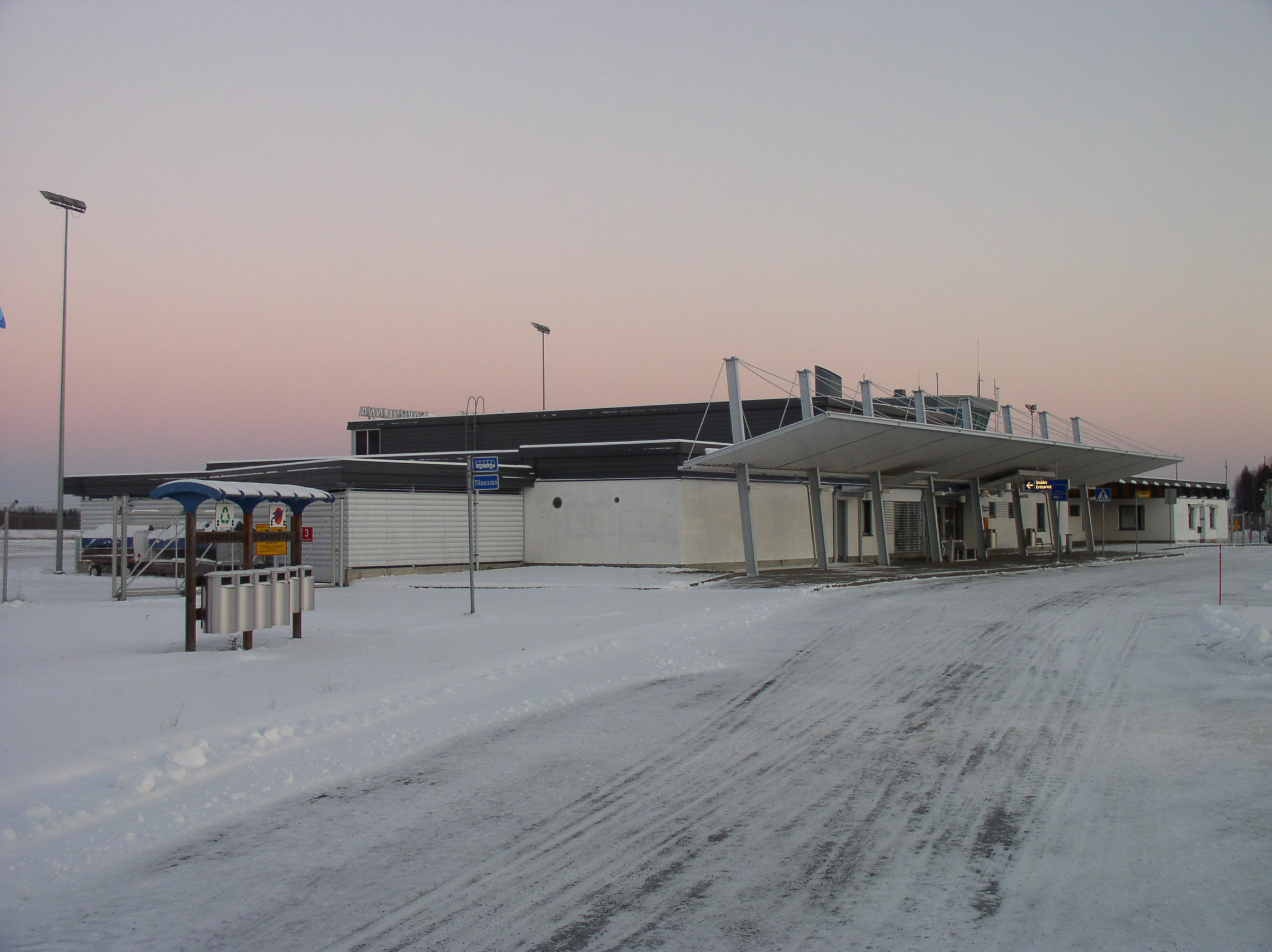
Savonlinna Airport (IATA: SVL, ICAO: EFSA) is an airport in Savonlinna, Finland. The airport is located about 15 kilometres (9 mi) north of Savonlinna town centre along the Enonkoskentie road. The airport has a single asphalt runway and two gates, one with a waiting area fitted with seats. It also hosts a small cafeteria. The busiest times are during the Opera Festival when there are more scheduled and charter flights to the airport.
|
Savonlinna Airport
Savonlinnan lentoasema
|
|
|
|
| Summary |
| Airport type |
Public |
| Operator |
Finavia |
| Location |
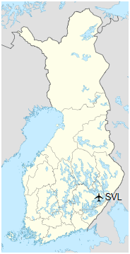
Savonlinna, Finland |
| Elevation AMSL |
95 m / 311 ft |
| Coordinates |
61°56′34″N
028°56′42″E |
| Website |
www.finavia.fi/… |
| Map |
|
|
| Runways |
| Direction |
Length |
Surface |
| m |
ft |
| 12/30 |
2,300 |
7,546 |
Asphalt |
|
| Statistics (2010) |
| Passengers |
15,899 |
| Landings |
840 |
|
| |
Airlines and destinations
| Destinations |
| RAF-Avia |
Helsinki (PSO) |
Statistics
Annual passenger statistics for Savonlinna Airport
| Year |
Domestic passengers |
International passengers |
Total passengers |
Change |
| 2005 |
19,145 |
2,199 |
21,344 |
−32.1% |
| 2006 |
21,305 |
2,424 |
23,729 |
+11.2% |
| 2007 |
17,558 |
1,774 |
19,332 |
−18.5% |
| 2008 |
12,425 |
2,781 |
15,206 |
−21.3% |
| 2009 |
14,630 |
3,179 |
17,809 |
+17.1% |
| 2010 |
13,007 |
2,892 |
15,899 |
−10.7% |
| 2011 |
12,002 |
2,173 |
14,175 |
−10.8% |
| 2012 |
10,671 |
2,535 |
13,206 |
−6.8% |
| 2013 |
9,497 |
2,718 |
12,215 |
−7.5% |
| 2014 |
7,261 |
3,197 |
10,458 |
−14.4% |
| 2015 |
11,002 |
2,531 |
13,533 |
+29,4% |
| 2016 |
9,881 |
1,719 |
11,600 |
-14,3% |
| 2017 |
9,548 |
2,861 |
12,409 |
7,0% |
| Means of transport at Savonlinna Airport |
| Means of transport |
Operator |
Route |
Destinations |
Website |
Notes |
| Taxi |
JS-Turvataksit |
Airport Taxi |
Savonlinna |
www.jsturvataksit.fi |
Pre-book necessary |
The above content comes from Wikipedia and is published under free licenses – click here to read more.
| General Info
|
| Country |
Finland
|
| ICAO ID |
EFSA
|
| Time |
UTC+2(+3DT)
|
| Latitude |
61.943064
61° 56' 35.03" N
|
| Longitude |
28.945136
028° 56' 42.49" E
|
| Elevation |
311 feet
95 meters
|
| Type |
Civil
|
| Magnetic Variation |
009° E (01/06)
|
| Operating Agency |
CIVIL GOVERNMENT, (LANDING FEES AND DIPLOMATIC CLEARANCE MAY BE REQUIRED)
|
| Daylight Saving Time |
Last Sunday in March to last Sunday in October
|
| Communications
|
ATIS
Opr H24.
|
117.9
|
| AFIS |
118.8
119.7
|
| Runways
|
| ID |
Dimensions |
Surface |
PCN |
ILS
|
| 12/30 |
7546 x 148 feet
2300 x 45 meters |
ASPHALT |
072FAWT |
YES
|
| Navaids
|
| Type |
ID |
Name |
Channel |
Freq |
Distance From Field |
Bearing From Navaid
|
| VOR-DME |
SVL |
LINNA |
126X |
117.9 |
1.1 NM |
114.7
|
| Supplies/Equipment
|
| Fuel |
Jet A1, without icing nhibitor.
100/130 MIL Spec, low lead, aviation gasoline (BLUE)
|
| Remarks
|
| CAUTION |
Gldr act using cable winch launches to 2700' AGL.
|
| FLUID |
De-icing avlb thru FinAir C015-523 220.
|
| FUEL |
(NC-100LL, A1) (100LL avbl dur AFIS hr, A1 avbl 12 hr PN)
|
| MISC |
Ldg fees.
|
| OPR HOURS |
Opr HO.
|
The content above was published at Airports-Worldwide.com in 2020.
We don't guarantee the information is fresh and accurate. The data may be wrong or outdated.
For more up-to-date information please refer to other sources.
|
|