|
|
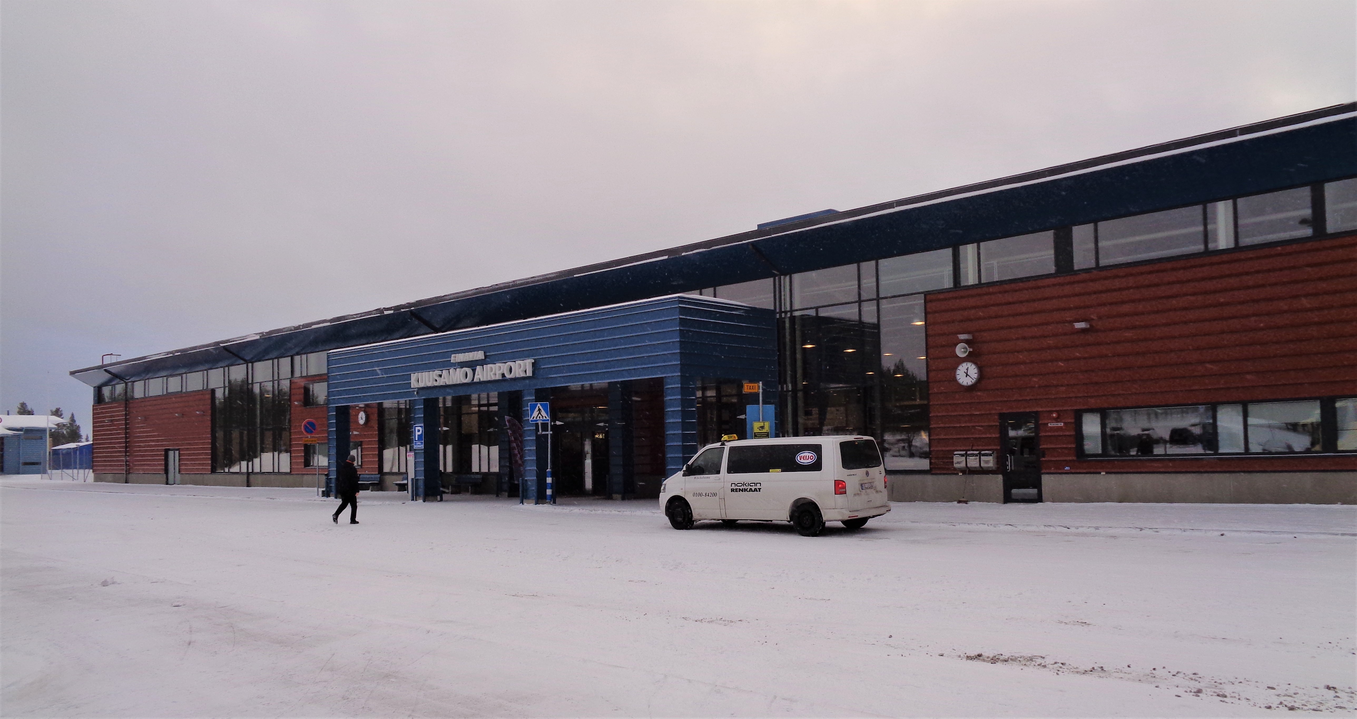
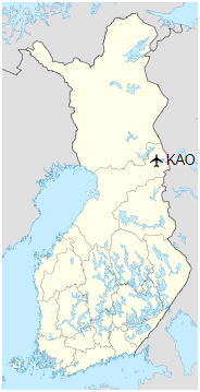
Kuusamo Airport (IATA: KAO, ICAO: EFKS) is an airport in Kuusamo, Finland. It is located 6 kilometres (4 mi) north-east from Kuusamo town centre.
|
Kuusamo Airport
Kuusamon lentoasema
|
|
|
|
| Summary |
| Airport type |
Public |
| Operator |
Finavia |
| Serves |
Kuusamo, Finland |
| Elevation AMSL |
866 ft / 264 m |
| Coordinates |
65°59′25″N
029°13′55″E |
| Website |
www.finavia.fi/en/kuusamo |
| Map |
|
|
| Runways |
| Direction |
Length |
Surface |
| ft |
m |
| 12/30 |
8,202 |
2,500 |
Asphalt |
|
| Statistics (2017) |
| Passengers |
87,752 |
| Landings |
530 |
|
Airlines and destinations
| Destinations |
| Finnair |
Helsinki |
| Helvetic Airways |
Seasonal: Zürich |
| Lufthansa |
Seasonal: Frankfurt |
| Transavia |
Seasonal charter: Amsterdam |
| TUI Airways |
Seasonal: London-Gatwick, Manchester |
| TUI fly Netherlands |
Seasonal: Amsterdam |
| Windrose Airlines |
Seasonal: Kiev-Boryspil |
Statistics
Annual passenger statistics for Kuusamo Airport
| Year |
Domestic passengers |
International passengers |
Total passengers |
Change |
| 2005 |
87,802 |
13,476 |
101,278 |
−0.6% |
| 2006 |
87,366 |
23,680 |
111,046 |
+9.6% |
| 2007 |
84,279 |
24,115 |
108,394 |
−2.3% |
| 2008 |
78,738 |
24,192 |
102,930 |
−4.8% |
| 2009 |
75,136 |
18,947 |
94,083 |
−8.6% |
| 2010 |
68,953 |
13,544 |
82,497 |
−12.3% |
| 2011 |
81,283 |
10,476 |
91,759 |
+11.2% |
| 2012 |
75,521 |
10,965 |
86,486 |
-5.7% |
| 2013 |
62,415 |
12,168 |
74,583 |
-13.8% |
| 2014 |
62,789 |
10,643 |
73,432 |
-1.5% |
| 2015 |
57,478 |
11,427 |
68,905 |
-6.2% |
| 2016 |
62,902 |
13,946 |
76,848 |
+11.5% |
| 2017 |
67,183 |
20,569 |
87,752 |
+14.2% |
The above content comes from Wikipedia and is published under free licenses – click here to read more.
| General Info
|
| Country |
Finland
|
| ICAO ID |
EFKS
|
| Time |
UTC+2(+3DT)
|
| Latitude |
65.987575
65° 59' 15.27" N
|
| Longitude |
29.239381
029° 14' 21.77" E
|
| Elevation |
866 feet
264 meters
|
| Magnetic Variation |
010° E (01/06)
|
| Operating Agency |
CIVIL GOVERNMENT, (LANDING FEES AND DIPLOMATIC CLEARANCE MAY BE REQUIRED)
|
| Daylight Saving Time |
Last Sunday in March to last Sunday in October
|
| Communications
|
ATIS
Opr H24.
|
114.4
|
| AFIS |
118.65
119.7
|
| Runways
|
| ID |
Dimensions |
Surface |
PCN |
ILS
|
| 12/30 |
8202 x 148 feet
2500 x 45 meters |
ASPHALT |
060FAWT |
YES
|
| Navaids
|
| Type |
ID |
Name |
Channel |
Freq |
Distance From Field |
Bearing From Navaid
|
| VOR-DME |
KLA |
KANTOLA |
091X |
114.4 |
At Field |
-
|
| NDB |
KS |
KILO-SIERRA |
- |
340 |
4.9 NM |
121.6
|
| Supplies/Equipment
|
| Fuel |
Jet A1, without icing nhibitor.
100/130 MIL Spec, low lead, aviation gasoline (BLUE)
|
| Remarks
|
| CSTMS/IMG |
CSTMS avbl PPR, IMG avbl HO.
|
| FLUID |
De-Ice avbl O/R.
|
| FUEL |
(NC-100LL, A1)
|
| MISC |
Ldg fees.
|
| OPR HOURS |
Opr HO.
|
The content above was published at Airports-Worldwide.com in 2020.
We don't guarantee the information is fresh and accurate. The data may be wrong or outdated.
For more up-to-date information please refer to other sources.
|
|