|
|
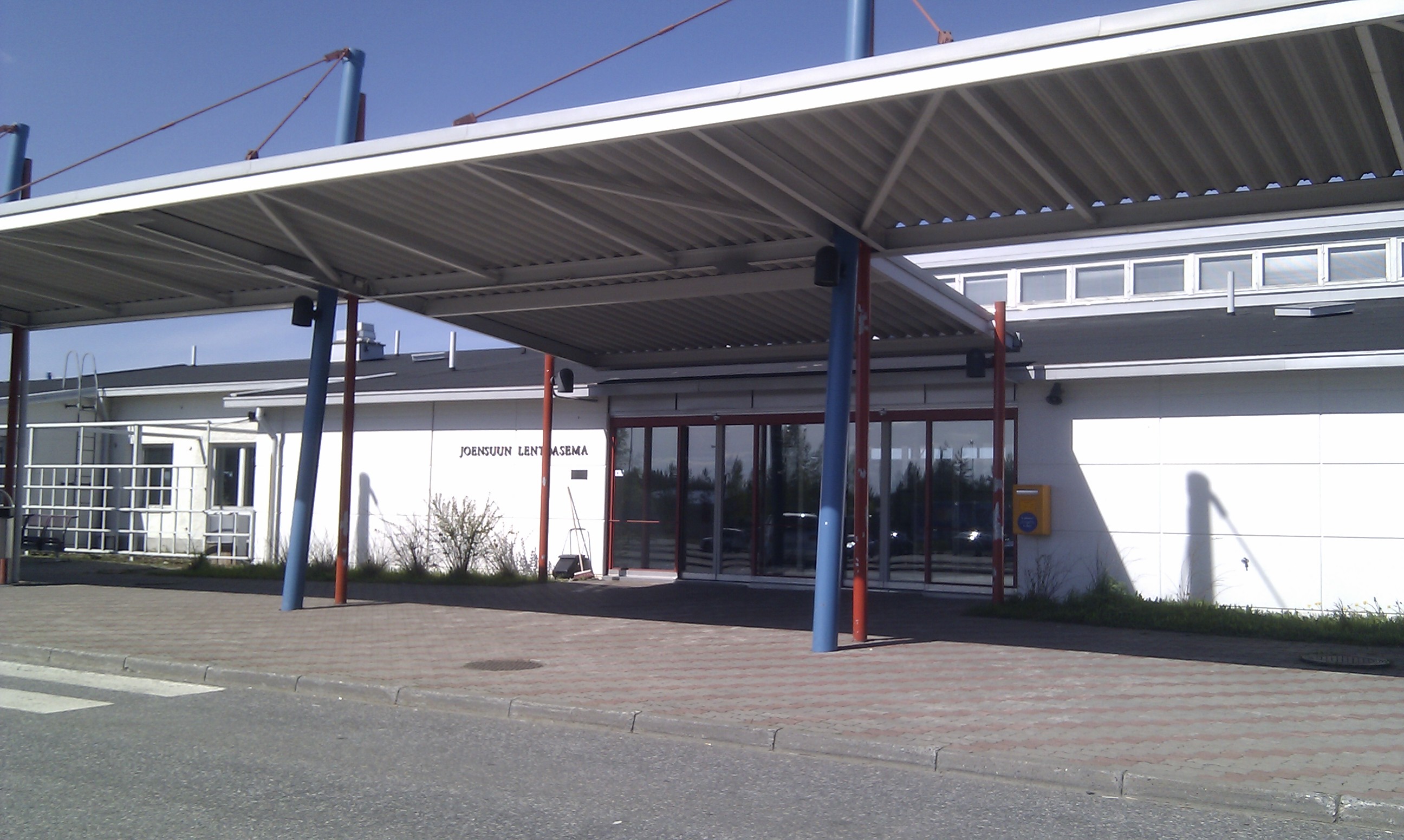
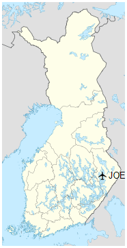
Joensuu Airport (IATA: JOE, ICAO: EFJO) is an airport in Liperi, Finland, about 11 kilometres (7 mi) northwest of the city centre of Joensuu.
|
Joensuu Airport
Joensuun lentoasema
|
|
|
|
| Summary |
| Airport type |
Public |
| Operator |
Finavia |
| Serves |
Joensuu |
| Location |
Liperi, Finland |
| Elevation AMSL |
121 m / 398 ft |
| Coordinates |
62°39′32″N
029°37′28″E |
| Website |
finavia.fi |
| Map |
|
|
| Runways |
| Direction |
Length |
Surface |
| m |
ft |
| 10/28 |
2,500 |
8,202 |
Asphalt |
|
| Statistics (2015) |
|
|
History
The airport was established 1937.
Airlines and destinations
| Destinations |
| Corendon Airlines |
Seasonal charter: Antalya |
| Jet Time |
Seasonal charter: Chania |
| Finnair |
Helsinki |
| Pegasus Airlines |
Seasonal charter: Bodrum, Dalaman, Izmir |
| Onur Air |
Seasonal charter: Antalya, Bodrum |
Statistics
Passenger statistics for JOE by year
| Year |
Domestic |
International |
Total |
Change |
| 2005 |
144,917 |
8,972 |
153,889 |
- −6.1% |
| 2006 |
139,299 |
7,340 |
146,639 |
- −4.7% |
| 2007 |
132,436 |
10,836 |
143,272 |
- −2.3% |
| 2008 |
124,835 |
9,439 |
134,274 |
- −6.3% |
| 2009 |
113,895 |
8,846 |
122,741 |
- −8.6% |
| 2010 |
108,618 |
10,143 |
118,761 |
- −3.2% |
| 2011 |
108,704 |
8,410 |
117,114 |
- −1.4% |
| 2012 |
130,006 |
16,191 |
146,197 |
+28,4% |
| 2013 |
118,084 |
13,207 |
131,291 |
-10.2% |
| 2014 |
125,082 |
13,137 |
138,219 |
+5.3% |
| 2015 |
121,281 |
12,445 |
133,726 |
-3.3% |
| 2016 |
112,454 |
10,089 |
122,543 |
-8.4% |
| 2017 |
110,666 |
9,048 |
119,714 |
-2,3% |
| 2018 |
111,144 |
10,410 |
121,554 |
+1,5% |
Weather station
The Finnish Meteorological Institute has a weather station at the airport. The highest recorded natural temperature in Finland, 37.2 °C (99.0 °F), was measured at the airport on 29 July 2010.
Ground transportation
Bus
Route 6, operated by Joensuu Region Public Transport, operates between the airport and the city centre according to flight schedules.
The above content comes from Wikipedia and is published under free licenses – click here to read more.
| General Info
|
| Country |
Finland
|
| ICAO ID |
EFJO
|
| Time |
UTC+2(+3DT)
|
| Latitude |
62.662906
62° 39' 46.46" N
|
| Longitude |
29.607550
029° 36' 27.18" E
|
| Elevation |
398 feet
121 meters
|
| Type |
Civil
|
| Magnetic Variation |
009° E (01/06)
|
| Operating Agency |
CIVIL GOVERNMENT, (LANDING FEES AND DIPLOMATIC CLEARANCE MAY BE REQUIRED)
|
| Daylight Saving Time |
Last Sunday in March to last Sunday in October
|
| Communications
|
TWR
.
|
120.9
119.7
|
ATIS
Opr H24.
|
115.7
|
| Runways
|
| ID |
Dimensions |
Surface |
PCN |
ILS
|
| 10/28 |
8202 x 171 feet
2500 x 52 meters |
ASPHALT |
050FBWU |
YES
|
| 17/35 |
3937 x 98 feet
1200 x 30 meters |
COMPOSITE, LESS THAN 50 PERCENT OF THE RUNWAY LENGTH IS PERMANENT. |
002FCZT |
NO
|
| Navaids
|
| Type |
ID |
Name |
Channel |
Freq |
Distance From Field |
Bearing From Navaid
|
| VOR-DME |
JNS |
JOSIE |
104X |
115.7 |
At Field |
-
|
| NDB |
JOE |
JOENSUU |
- |
325 |
4.0 NM |
100.8
|
| Supplies/Equipment
|
| Fuel |
Jet A1, without icing nhibitor.
100/130 MIL Spec, low lead, aviation gasoline (BLUE)
|
| Remarks
|
| CSTMS/IMG |
Avbl HO.
|
| FUEL |
3 hr PN rqr. (NC-100LL, A1)
|
| MISC |
Ldg fees. Class D Airspace eff twr hr, OT Class G.
|
| OPR HOURS |
Opr HO.
|
The content above was published at Airports-Worldwide.com in 2020.
We don't guarantee the information is fresh and accurate. The data may be wrong or outdated.
For more up-to-date information please refer to other sources.
|
|