|
|
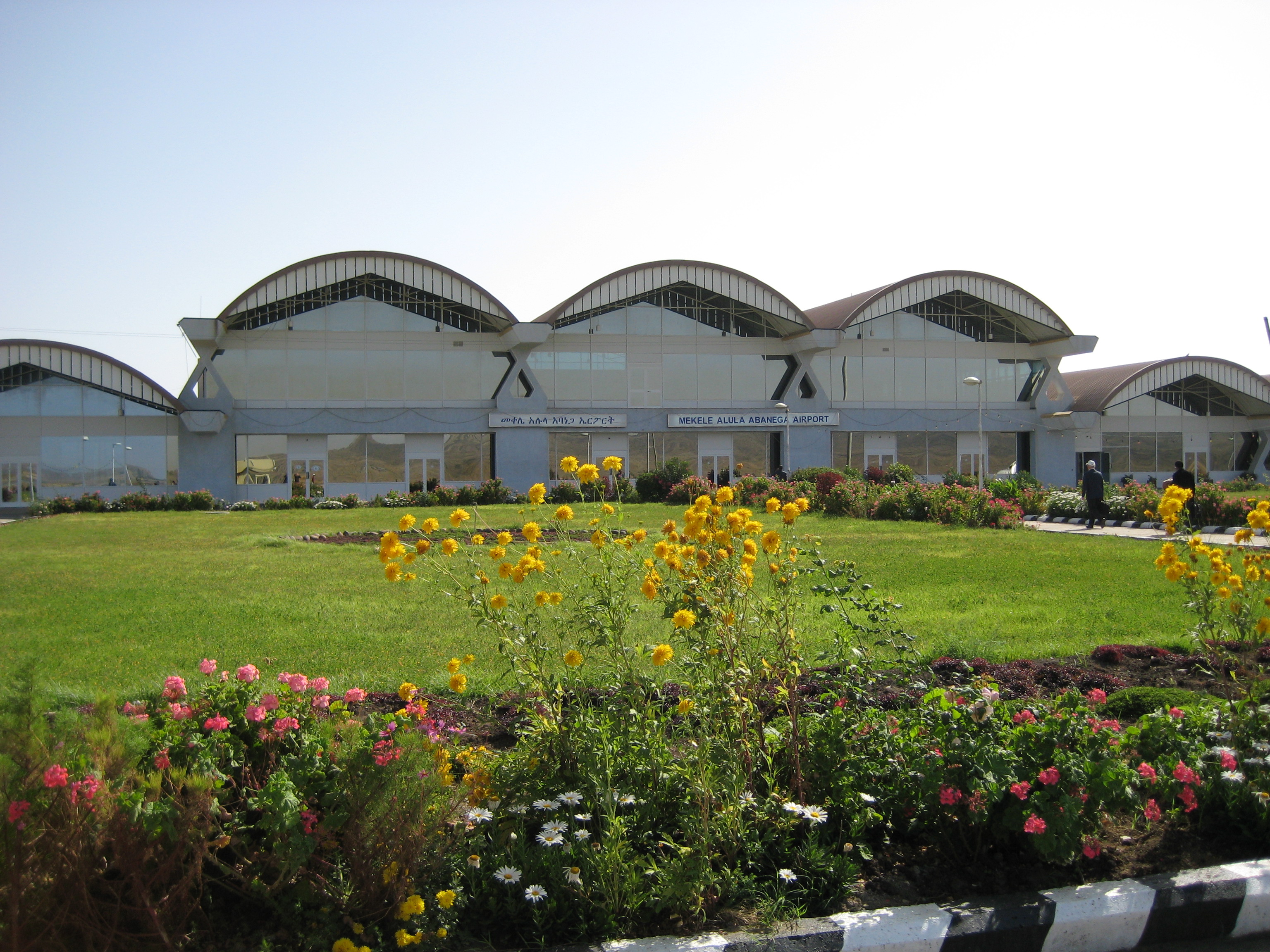
Alula Aba Nega Airport (Tigrinya: ኣሉላ ኣባ ነጋ ዓለም ለኸ መዕረፍ ነፈርቲ) (Amharic: አሉላ አባ ነጋ ዓለም አቀፍ የአየር ማረፊያ) (IATA: MQX, ICAO: HAMK), also known as Mekelle Airport, is an airport serving Mekelle, the capital city of the Tigray Region in northern Ethiopia. The airport is located 10 km (6 miles) southeast of the city.
|
Alula Aba Nega Airport
ኣሉላ ኣባ ነጋ ዓለም ለኸ መዕረፍ ነፈርቲ
|
|
|
|
| Summary |
| Airport type |
Public |
| Operator |
Ethiopian Airports Enterprise |
| Serves |
Mekelle, Ethiopia |
| Elevation AMSL |
7,406 ft / 2,257 m |
| Coordinates |
13°28′02″N
039°32′00″E |
| Map |
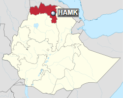
Location in Ethiopia (Tigray region in red)
|
| Runways |
| Direction |
Length |
Surface |
| m |
ft |
| 11/29 |
3,604 |
11,825 |
Asphalt |
|
| Statistics |
| Passengers (2009) |
112,060 |
|
History
This airport was built in the late 1990s to replace an older one located 7 km (4 miles) from Mekelle. The airport was named after the famous Tigrayan military leader Ras Alula, also known as Alula Aba Nega (Nega was his favorite horse, following the custom of using «Abba» plus attaching the horse’s name to that of a well-known warrior’s first name). He is well known (during the Yohannes Period) for his battles against Italy, the Ottoman Turks, Egypt and the Battle of Adwa (during the Minilik Period). When the airport first opened, it had one unpaved runway 3,000 metres (9,843 feet) long, with 21 flights to Addis Ababa, 4 to Shire and 2 to Humera.
Facilities
The airport has an elevation of 7,406 feet (2,257 m) above mean sea level. It has one runway designated 11/29 with an asphalt surface measuring 3,604 by 43 metres (11,824 ft × 141 ft).
Airlines and destinations
| Destinations |
| Ethiopian Airlines |
Addis Ababa, Axum, Humera, Shire |
Incidents
On 22 August 1982, Douglas DC-3 ET-AHP of Ethiopian Airlines was damaged beyond repair in a take-off accident.
The above content comes from Wikipedia and is published under free licenses – click here to read more.
| General Info
|
| Country |
Ethiopia
|
| ICAO ID |
HAMK
|
| Time |
UTC+3
|
| Latitude |
13.467367
13° 28' 02.52" N
|
| Longitude |
39.533464
039° 32' 00.47" E
|
| Elevation |
7406 feet
2257 meters
|
| Type |
Civil
|
| Magnetic Variation |
002° E (01/06)
|
| Operating Agency |
CIVIL GOVERNMENT, (LANDING FEES AND DIPLOMATIC CLEARANCE MAY BE REQUIRED)
|
| Alternate Name |
ALULA ABA NEGA
|
| Near City |
Mekale
|
| Operating Hours |
SEE REMARKS FOR OPERATING HOURS OR COMMUNICATIONS FOR POSSIBLE HOURS
|
| Communications
|
| TWR |
118.8
|
| GND |
121.9
|
| Runways
|
| ID |
Dimensions |
Surface |
PCN |
ILS
|
| 11/29 |
11825 x 142 feet
3604 x 43 meters |
ASPHALT |
- |
NO
|
| Navaids
|
| Type |
ID |
Name |
Channel |
Freq |
Distance From Field |
Bearing From Navaid
|
| VOR-DME |
QHA |
MAKALE |
113X |
116.6 |
At Field |
-
|
| NDB |
MK |
MAKALE |
- |
256 |
At Field |
-
|
| Supplies/Equipment
|
| Fuel |
Unknown fuel type or whether there is any fuel.
|
| Remarks
|
| CAUTION |
Bird haz.
|
| OPR HOURS |
Opr 0300-1700Z.
|
The content above was published at Airports-Worldwide.com in 2019.
We don't guarantee the information is fresh and accurate. The data may be wrong or outdated.
For more up-to-date information please refer to other sources.
|
|