|
|
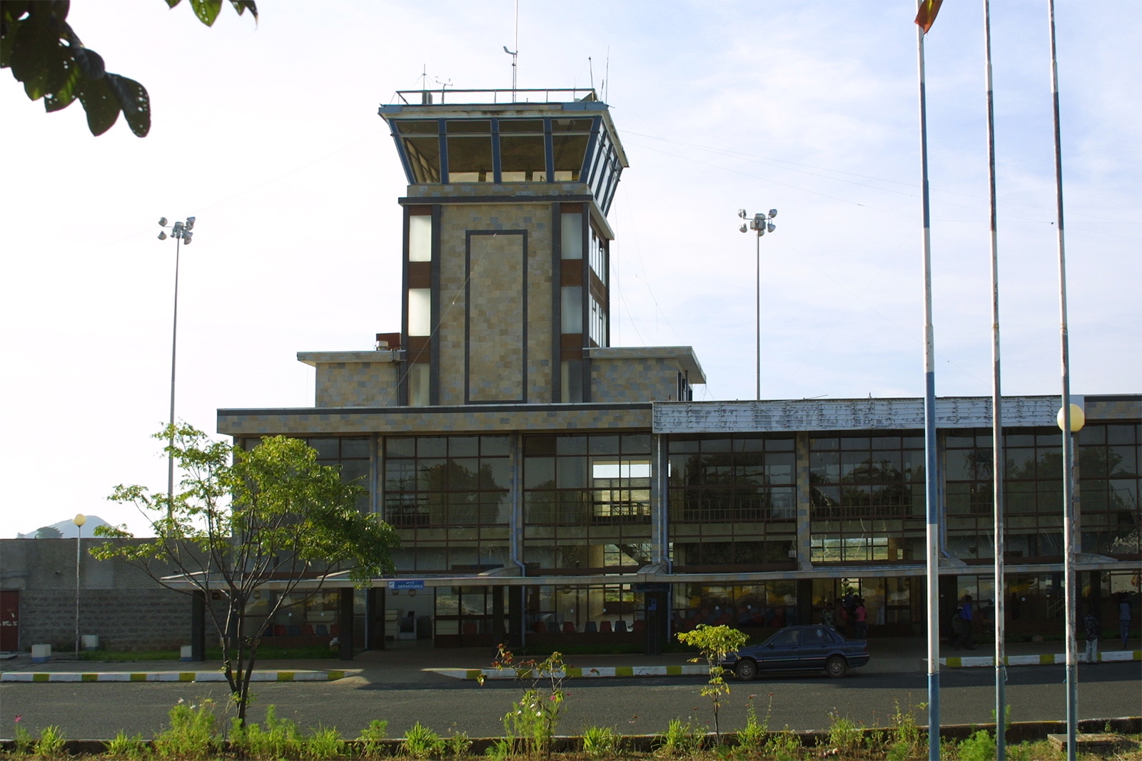
Bahir Dar Airport (IATA: BJR, ICAO: HABD), also known as Ginbot Haya Airport, is an airport serving Bahir Dar, the capital city of the Amhara Region in Ethiopia. The name of the city and airport may also be transliterated as Bahar Dar. Bahir Dar airport is located 8 km (5 miles) west of Bahir Dar, near the Lake Tana. The airport also serves the Ethiopian Air Force.
|
Bahir Dar Ginbot Haya Airport
dejazmch belay zeleke ሃያ የአየር ማረፊያ
|
|
|
|
| Summary |
| Airport type |
Public |
| Operator |
Ethiopian Airports Enterprise |
| Serves |
Bahir Dar, Ethiopia |
| Elevation AMSL |
5,976 ft / 1,821 m |
| Coordinates |
11°36′29″N
037°19′17″E |
| Map |
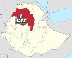
Location in Ethiopia (Amhara region in red)
|
| Runways |
| Direction |
Length |
Surface |
| m |
ft |
| 04/22 |
3,000 |
9,842 |
Asphalt/Concrete |
|
Facilities
The Bahir Dar Airport sits at an elevation of 5,976 feet (1,821 m) above mean sea level. It has one runway designated 04/22, with an asphalt concrete surface measuring 3,000 by 61 metres (9,843 ft × 200 ft).
Airlines and destinations
| Destinations |
| Ethiopian Airlines |
Addis Ababa, Lalibela |
Incidents
On 11 January 1981, Douglas C-47A ET-AGW of Ethiopian Airlines was damaged beyond repair when the port undercarriage collapsed on landing.
On 15 September 1988, Ethiopian Airlines Flight 604 operated by Boeing 737-200 ET-AJA ingested pigeons into both engines shortly after take off. One engine lost thrust almost immediately and the second lost thrust during the emergency return to the airport. During the crash landing, 35 of the 104 passengers were killed.
The above content comes from Wikipedia and is published under free licenses – click here to read more.
| General Info
|
| Country |
Ethiopia
|
| ICAO ID |
HABD
|
| Time |
UTC+3
|
| Latitude |
11.608075
11° 36' 29.07" N
|
| Longitude |
37.321644
037° 19' 17.92" E
|
| Elevation |
5976 feet
1821 meters
|
| Type |
Civil
|
| Magnetic Variation |
002° E (01/06)
|
| Operating Agency |
CIVIL GOVERNMENT, (LANDING FEES AND DIPLOMATIC CLEARANCE MAY BE REQUIRED)
|
| Operating Hours |
SEE REMARKS FOR OPERATING HOURS OR COMMUNICATIONS FOR POSSIBLE HOURS
|
| Communications
|
TWR
Opr 0400-1500Z
|
118.3
|
GND
Opr 0400-1500Z
|
121.9
|
| Runways
|
| ID |
Dimensions |
Surface |
PCN |
ILS
|
| 04/22 |
9842 x 200 feet
3000 x 61 meters |
PART CONCRETE, PART ASPHALT, OR PART BITUMEN-BOUND MACADAM. |
- |
NO
|
| Navaids
|
| Type |
ID |
Name |
Channel |
Freq |
Distance From Field |
Bearing From Navaid
|
| NDB |
TN |
BAHIR DAR |
- |
420 |
1.4 NM |
045.1
|
| Remarks
|
| OPR HOURS |
Opr 0300-1700Z.
|
The content above was published at Airports-Worldwide.com in 2019.
We don't guarantee the information is fresh and accurate. The data may be wrong or outdated.
For more up-to-date information please refer to other sources.
|
|