|
|
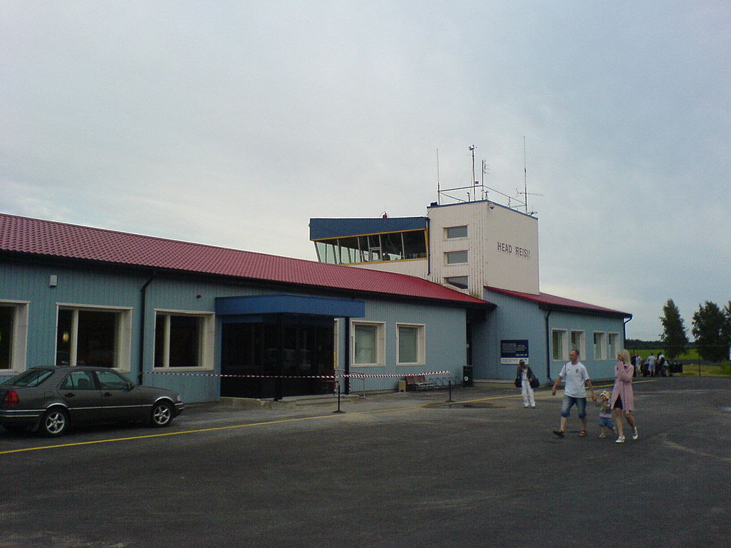
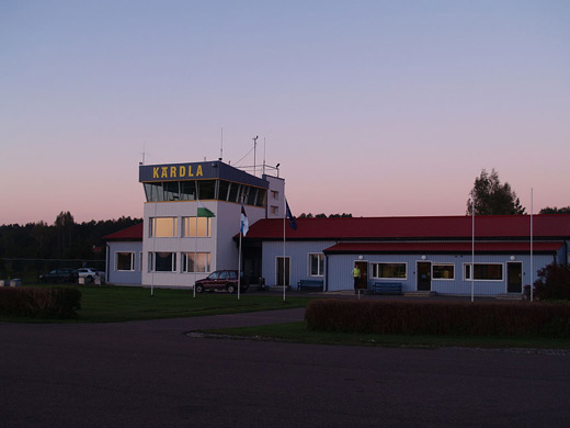
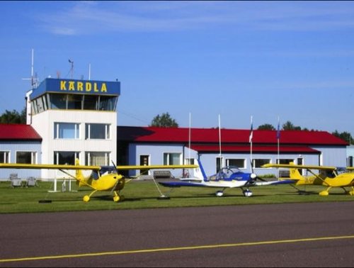
| Kärdla Airport |
 |
IATA: KDL – ICAO: EEKA
 |
| Summary |
| Airport type |
Public |
| Operator |
SC Kärdla Airport |
| Location |
Kärdla |
| Elevation AMSL |
18 ft / 5 m |
| Coordinates |
58°59′26″N 22°49′50″E / 58.99056°N 22.83056°E / 58.99056; 22.83056Coordinates: 58°59′26″N 22°49′50″E / 58.99056°N 22.83056°E / 58.99056; 22.83056 |
| Runways |
| Direction |
Length |
Surface |
| ft |
m |
| 14/32 |
4,987 |
1,520 |
Asphalt |
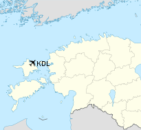
Kärdla Airport (IATA: KDL, ICAO: EEKA) is an airport in Estonia. The airport is situated 7 km (4 mi) east of the town of Kärdla on Hiiumaa island.
The airport has an asphalt runway of 1520 meters length and 30 meters width. The directions are 14 and 32. The runway was upgraded in 1998.
Kärdla Airport opened in 1963. During the next years there was fairly high activity at the airport, with regular flights to Tallinn, Haapsalu, Vormsi, Kuressaare, Riga, Pärnu, Viljandi and Tartu, and charter flights to Murmansk, Vilnius and Kaunas. 24 335 passengers travelled via Kärdla Airport in 1987. But the air traffic sank dramatically after Estonia became independent in 1991, and in 1995 only 727 passengers travelled via the airport. Since then the traffic has increased again, and 8840 passengers travelled via the airport in 2004.
The airport has annual Flight Days in the first weekend of August.
23 November 2001 an airplane with 17 people on board crashed on its way from Tallinn to Kärdla, near Palade at Hiiumaa. Two people died in the crash. [1], [2]
Airlines and destinations
| Airlines |
Destinations |
| Avies |
Tallinn |
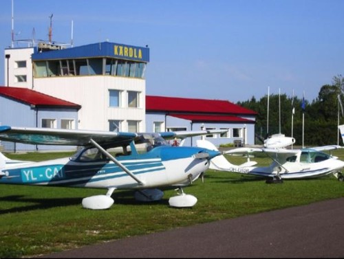
Gallery
The above content comes from Wikipedia and is published under free licenses – click here to read more.
| General Info
|
| Country |
Estonia
|
| ICAO ID |
EEKA
|
| Time |
UTC+2(+3DT)
|
| Latitude |
58.990756
58° 59' 26.72" N
|
| Longitude |
22.830733
022° 49' 50.64" E
|
| Elevation |
18 feet
5 meters
|
| Magnetic Variation |
006° E (01/06)
|
| Operating Agency |
CIVIL GOVERNMENT, (LANDING FEES AND DIPLOMATIC CLEARANCE MAY BE REQUIRED)
|
| Daylight Saving Time |
Last Sunday in March to last Sunday in October
|
| Communications
|
TWR
Opr 0400-0800Z++,1300-1700Z++Mon-Fri; 0500-0900Z++Sat; 1300-1700Z++Sun, OT O/R.
|
130.3
|
| AFIS |
130.3
|
| Runways
|
| ID |
Dimensions |
Surface |
PCN |
ILS
|
| 14/32 |
4987 x 98 feet
1520 x 30 meters |
ASPHALT |
- |
NO
|
| Navaids
|
| Type |
ID |
Name |
Channel |
Freq |
Distance From Field |
Bearing From Navaid
|
| NDB |
OZ |
KARDLA |
- |
317 |
2.4 NM |
322.3
|
| DME |
KRD |
KARDLA |
123X |
- |
At Field |
-
|
| Supplies/Equipment
|
| Fuel |
Jet A1, without icing nhibitor.
100/130 MIL Spec, low lead, aviation gasoline (BLUE)
|
| Remarks
|
| CAUTION |
Bird haz.
|
| CSTMS/IMG |
Avbl.
|
| FLUID |
Avbl dur Twr opr. De-Ice
|
| FUEL |
Avbl dur Twr opr. (NC-100LL, A1)
|
| OPR HOURS |
Opr 0600-1500Z++ Mon-Fri, OT O/R fone C372 50 91499.
|
The content above was published at Airports-Worldwide.com in 2010.
We don't guarantee the information is fresh and accurate. The data may be wrong or outdated.
For more up-to-date information please refer to other sources.
|
|