 |
|
Manono Airport (IATA: MNO, ICAO: FZRA) is an airport serving Manono, a city in the Katanga Province of the Democratic Republic of the Congo. The runway is within the city.
|
Manono Airport |
|
|
| Summary |
| Airport type |
Public |
| Serves |
Manono |
| Elevation AMSL |
2,077 ft / 633 m |
| Coordinates |
7°17′20″S
27°23′40″E |
| Map |
|
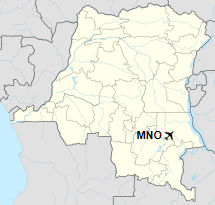
Location of the airport in
Democratic Republic of the Congo
|
| Runways |
| Direction |
Length |
Surface |
| m |
ft |
| 09/27 |
1,365 |
4,478 |
Gravel |
|
|
Sources: Google Maps GCM |
The above content comes from Wikipedia and is published under free licenses – click here to read more.
The content above was published at Airports-Worldwide.com in 2019.
We don't guarantee the information is fresh and accurate. The data may be wrong or outdated.
For more up-to-date information please refer to other sources.
|
|


