 |
|
Katale Airport (ICAO: FZNB) is an airport serving the village of Katale in North Kivu Province, Democratic Republic of the Congo.
The Goma VOR/DME (Ident: GOM) is 24.4 nautical miles (45.2 km) south-southwest of the airport.
|
Katale Airport |
|
|
| Summary |
| Airport type |
Public |
| Serves |
Katale |
| Elevation AMSL |
4,589 ft / 1,399 m |
| Coordinates |
1°19′30″S
29°22′30″E |
| Map |
|
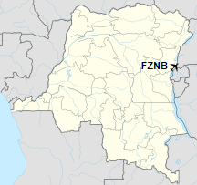
Location of the airport in
Democratic Republic of the Congo
|
| Runways |
| Direction |
Length |
Surface |
| m |
ft |
| 18/36 |
890 |
2,920 |
Dirt |
|
| Helipads |
| Number |
Length |
Surface |
| m |
ft |
| 1 |
15 |
49 |
Dirt |
|
|
Sources: Google Maps GCM |
The above content comes from Wikipedia and is published under free licenses – click here to read more.
The content above was published at Airports-Worldwide.com in 2019.
We don't guarantee the information is fresh and accurate. The data may be wrong or outdated.
For more up-to-date information please refer to other sources.
|
|


