|
Inga Airport (ICAO: FZAN) is an airport serving the town of Inga and the Inga dams in the Kongo Central Province of the Democratic Republic of the Congo.
The airport has a control tower, and is on a narrow ridge at a lower elevation than the town. An overrun to the east will drop 200 metres (660 ft) into the Congo River.
The Inga non-directional beacon (ident: IG) is located on the field.
|
Inga Airport |
|
|
| Summary |
| Airport type |
Public |
| Serves |
Inga |
| Elevation AMSL |
741 ft / 226 m |
| Coordinates |
5°31′50″S
13°34′45″E |
| Map |
|
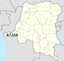
Location of the airport in
Democratic Republic of the Congo
|
| Runways |
| Direction |
Length |
Surface |
| m |
ft |
| 11/29 |
1,100 |
3,609 |
Asphalt |
|
|
Sources: Great Circle Mapper Google Maps |
The above content comes from Wikipedia and is published under free licenses – click here to read more.
The content above was published at Airports-Worldwide.com in 2019.
We don't guarantee the information is fresh and accurate. The data may be wrong or outdated.
For more up-to-date information please refer to other sources.
|


