 |
|
Gwaka Airport (ICAO: FZFW) is an airport serving Gwaka in Sud-Ubangi Province, Democratic Republic of the Congo.
|
Gwaka Airport |
|
|
| Summary |
| Serves |
Gwaka |
| Elevation AMSL |
1,476 ft / 450 m |
| Coordinates |
2°28′25″N
20°05′30″E |
| Map |
|
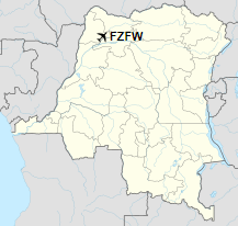
Location of airport in the
Democratic Republic of the Congo
|
| Runways |
| Direction |
Length |
Surface |
| m |
ft |
| 10/28 |
1,200 |
3,937 |
Grass |
|
|
Source: Great Circle Mapper Google Maps |
The above content comes from Wikipedia and is published under free licenses – click here to read more.
The content above was published at Airports-Worldwide.com in 2019.
We don't guarantee the information is fresh and accurate. The data may be wrong or outdated.
For more up-to-date information please refer to other sources.
|
|


