 |
|
Abumumbazi Airport (ICAO: FZFE) is an airport serving the town of Abumumbazi, in the Équateur Province of the Democratic Republic of the Congo. The runway is on the north side of the town.
|
Abumumbazi Airport |
|
|
| Summary |
| Serves |
Abumumbazi, Democratic Republic of the Congo |
| Elevation AMSL |
1,499 ft / 457 m |
| Coordinates |
3°41′45″N
22°09′00″E |
| Map |
|
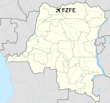
FZFE
Location of airport in
Democratic Republic of the Congo
|
| Runways |
| Direction |
Length |
Surface |
| m |
ft |
| 07/25 |
1,260 |
4,134 |
Dirt |
|
|
Source: GCM Google Maps |
The above content comes from Wikipedia and is published under free licenses – click here to read more.
The content above was published at Airports-Worldwide.com in 2019.
We don't guarantee the information is fresh and accurate. The data may be wrong or outdated.
For more up-to-date information please refer to other sources.
|
|


