|
|
Cabo Rojo National Airport
Aeródromo Doméstico de Cabo Rojo |
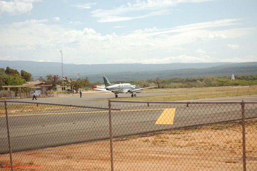 |
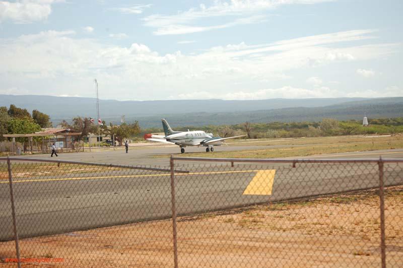
| Caribair flight to JBQ |
| IATA: CBJ – ICAO: MDCR |
| Summary |
| Airport type |
Public |
| Operator |
Government |
| Location |
Pedernales, Dominican Republic |
| Elevation AMSL |
262 ft / 80 m |
| Coordinates |
17°55′44″N 071°38′41″W / 17.92889°N 71.64472°W / 17.92889; -71.64472 |
| Runways |
| Direction |
Length |
Surface |
| m |
ft |
| 12/30 |
1,509 |
4,950 |
Asphalt |
| Source: DAFIF |
Cabo Rojo National Airport (Spanish: Aeródromo Doméstico de Cabo Rojo) (IATA: CBJ, ICAO: MDCR) is an airport in the Dominican Republic serving Pedernales, a city on the border with Haiti. It offers domestic flights to destinations in the Dominican Republic.
Airlines
The above content comes from Wikipedia and is published under free licenses – click here to read more.
| General Info
|
| Country |
Dominican Republic
|
| ICAO ID |
MDCR
|
| Time |
UTC-4
|
| Latitude |
17.928981
17° 55' 44.33" N
|
| Longitude |
-71.644769
071° 38' 41.17" W
|
| Elevation |
262 feet
80 meters
|
| Magnetic Variation |
009° W (01/06)
|
| Operating Agency |
CIVIL GOVERNMENT, (LANDING FEES AND DIPLOMATIC CLEARANCE MAY BE REQUIRED)
|
| Operating Hours |
SUNRISE TO SUNSET (SR-SS)
|
| Runways
|
| ID |
Dimensions |
Surface |
PCN |
ILS
|
| 11/29 |
4950 x 98 feet
1509 x 30 meters |
ASPHALT |
- |
NO
|
| Navaids
|
| Type |
ID |
Name |
Channel |
Freq |
Distance From Field |
Bearing From Navaid
|
| VOR-DME |
DCR |
CABO ROJO |
090X |
114.3 |
At Field |
-
|
| Remarks
|
| CAUTION |
Rwy in poor cond.
|
| OPR HOURS |
Opr SR-SS.
|
The content above was published at Airports-Worldwide.com in 2010.
We don't guarantee the information is fresh and accurate. The data may be wrong or outdated.
For more up-to-date information please refer to other sources.
|
|