|
|
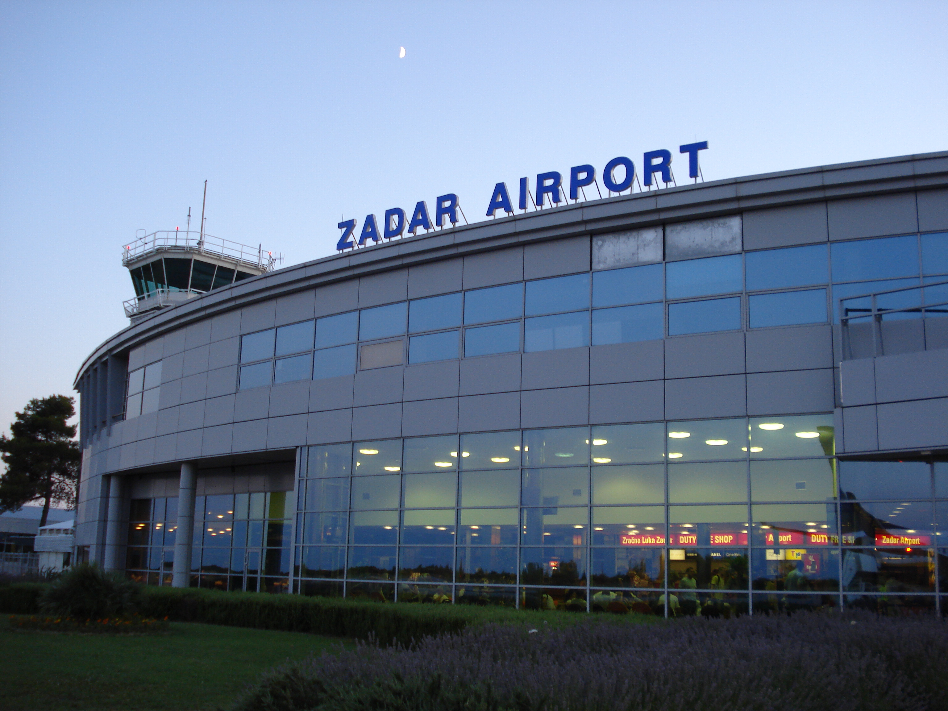
Zadar Airport
Zemunik
Zračna luka Zadar/Zemunik |
 |
| IATA: ZAD – ICAO: LDZD |
| Summary |
| Airport type |
Public |
| Operator |
Zadar Airport Ltd. |
| Serves |
Zadar |
| Location |
Zemunik Donji |
| Elevation AMSL |
289 ft / 88 m |
| Coordinates |
44°06′30″N 015°20′48″E / 44.10833°N 15.34667°E / 44.10833; 15.34667 |
| Website |
www.zadar-airport.hr |
| Runways |
| Direction |
Length |
Surface |
| m |
ft |
| 14/32 |
2,500 |
8,202 |
Concrete |
| 04/22 |
2,000 |
6,562 |
Asphalt |
| Croatian Aeronautical Information Publication |
Zadar Airport (IATA: ZAD, ICAO: LDZD) is the airport serving Zadar, Croatia. It is located in Zemunik Donji 8 km from the Zadar railway station. The airport serves as the flying base for Lufthansa's flight school InterCockpit and Croatian Air Force main training base. Zadar airport was one of the few airports in the world where the runway crossed a public road. The road was closed on Wednesday, 07 April 2010 due to the terms imposed by European Union during Croatian accession negotiations. Airlines and destinations
| Airlines |
Destinations |
| Air Alps |
Bolzano [seasonal] |
| Central Connect Airlines |
Brno [seasonal] |
| Croatia Airlines |
Pula, Zagreb |
| DanubeWings |
Bratislava [seasonal] |
| Germanwings |
Berlin-Schönefeld [seasonal], Cologne/Bonn [seasonal], Hanover [ends 23 October], Stuttgart [seasonal] |
| InterSky |
Friedrichshafen [seasonal] |
| Lufthansa Regional operated by Lufthansa CityLine |
Munich [seasonal] |
| Privilege Style |
Valladolid [seasonal] |
| Ryanair |
Bari [seasonal], Bremen [seasonal], Brussels South-Charleroi [seasonal], Dublin [seasonal], Hahn [seasonal], London-Stansted [seasonal], Oslo-Rygge [seasonal], Pisa [seasonal], Stockholm-Skavsta [seasonal], Weeze [seasonal] |
Moreover a number of charter flights connect the airport with numerous destinations throughout Europe during the summer months.
Traffic figures
The above content comes from Wikipedia and is published under free licenses – click here to read more.
| General Info
|
| Country |
Croatia
|
| ICAO ID |
LDZD
|
| Time |
UTC+1(+2DT)
|
| Latitude |
44.108269
44° 06' 29.77" N
|
| Longitude |
15.346697
015° 20' 48.11" E
|
| Elevation |
289 feet
88 meters
|
| Type |
Civil
|
| Magnetic Variation |
002° E (01/06)
|
| Operating Agency |
CIVIL GOVERNMENT, (LANDING FEES AND DIPLOMATIC CLEARANCE MAY BE REQUIRED)
|
| Alternate Name |
ZEMUNIK
|
| Operating Hours |
SEE REMARKS FOR OPERATING HOURS OR COMMUNICATIONS FOR POSSIBLE HOURS
|
| Daylight Saving Time |
Last Sunday in March to last Sunday in October
|
| Communications
|
| TWR |
123.7
|
APP
Opr 0700-2100Z++ Mon-Sat.
|
118.6
119.6
|
| Communications Remarks |
|
| TWR |
Outside AD opr hr, 24h PPR via ZADAPXH.
|
| Runways
|
| ID |
Dimensions |
Surface |
PCN |
ILS
|
| 04/22 |
6561 x 147 feet
2000 x 45 meters |
ASPHALT |
035FAXU |
NO
|
| 14/32 |
8202 x 147 feet
2500 x 45 meters |
ASPHALT |
053FAXU |
NO
|
| Navaids
|
| Type |
ID |
Name |
Channel |
Freq |
Distance From Field |
Bearing From Navaid
|
| VOR-DME |
ZDA |
ZADAR |
023X |
108.6 |
1.1 NM |
313.8
|
| NDB |
ZRA |
KAKMA |
- |
330 |
9.3 NM |
313.8
|
| Supplies/Equipment
|
| Fuel |
Jet A1, without icing nhibitor.
|
| Remarks
|
| CAUTION |
Bird haz.
|
| CSTMS/IMG |
Avbl HS.
|
| FUEL |
(NC-100LL, A1)
|
| OPR HOURS |
Opr HO.
|
| RSTD |
Rwy 04-22 opr daylt hrs only.
|
The content above was published at Airports-Worldwide.com in 2010.
We don't guarantee the information is fresh and accurate. The data may be wrong or outdated.
For more up-to-date information please refer to other sources.
|
|