|
|
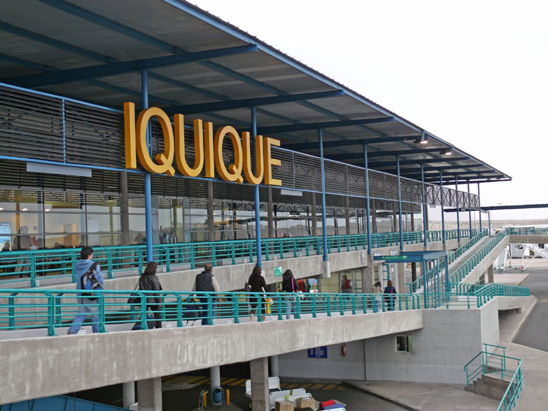
Diego Aracena International Airport |
Diego Aracena International Airport (Spanish: Aeropuerto Internacional Diego Aracena) (IATA: IQQ, ICAO: SCDA) is an airport serving Iquique, capital of the Tarapacá Region in Chile. The airport is on the Pacific coast 48 kilometres (30 mi) south of the city. It shares a runway with Los Cóndores Air Base (Base Aérea Los Cóndores), home to the First Air Brigade of the Chilean Air Force (Fuerza Aérea de Chile).
The Iquique VOR-DME (Ident: IQQ) is 9.6 nautical miles (17.8 km) north of the airport. The Diego Aracena non-directional beacon (Ident: R) is located on the field.
|
Diego Aracena International Airport
|
|
|
|
| Summary |
| Airport type |
Public / Military |
| Operator |
A-port Operaciones S.A. |
| Serves |
Iquique, Chile |
| Location |
Chucumata |
| Elevation AMSL |
156 ft / 48 m |
| Coordinates |
20°32′08″S
70°10′53″W |
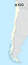
| Map |
Location of the airport in Chile
|
| Runways |
| Direction |
Length |
Surface |
| m |
ft |
| 01/19 |
3,350 |
10,991 |
Asphalt |
|
Airlines and destinations
| Destinations |
| Amaszonas |
Santa Cruz de la Sierra-Viru Viru, La Paz |
| Andes Líneas Aéreas |
Seasonal: Salta |
| JetSmart |
Concepción, La Serena, Santiago de Chile |
| LATAM Chile |
Santiago de Chile |
| Paranair |
Asunción, Salta |
| Sky Airline |
Santiago de Chile |
The above content comes from Wikipedia and is published under free licenses – click here to read more.
| General Info
|
| Country |
Chile
|
| ICAO ID |
SCDA
|
| Time |
UTC-4(-3DT)
|
| Latitude |
-20.535222
20° 32' 06.80" S
|
| Longitude |
-70.181275
070° 10' 52.59" W
|
| Elevation |
155 feet
47 meters
|
| Type |
Joint (Civil and Military)
|
| Magnetic Variation |
002° W (01/06)
|
| Beacon |
Yes
|
| Operating Agency |
MILITARY - CIVIL JOINT USE AIRPORT
|
| Near City |
Iquique
|
| Operating Hours |
24 HOUR OPERATIONS
|
| International Clearance Status |
Airport of Entry
|
| Communications
|
| IQUIQUE TWR |
118.9
|
| IQUIQUE RDO |
127.3
|
| GND |
121.7
|
| IQUIQUE APP |
122.7
124.9
|
| Runways
|
| ID |
Dimensions |
Surface |
PCN |
ILS
|
| 18/36 |
10991 x 148 feet
3350 x 45 meters |
ASPHALT |
053FAWT |
YES
|
| Navaids
|
| Type |
ID |
Name |
Channel |
Freq |
Distance From Field |
Bearing From Navaid
|
| VOR-DME |
IQQ |
IQUIQUE |
080X |
113.3 |
9.6 NM |
185.2
|
| NDB |
UCU |
IQUIQUE |
- |
368 |
2.1 NM |
005.1
|
| Supplies/Equipment
|
| Fuel |
Jet A1, without icing nhibitor.
100/130 MIL Spec, low lead, aviation gasoline (BLUE)
|
| Remarks
|
| CAUTION |
Parasailing activity near city of Iquique. Bird hazard apch Rwy 18.
|
| CSTMS/AG/IMG |
CSTMS avbl 24 hrs Sun-Mon 0401-1059Z++; IMG avbl dur hr sched intl flts. OT 2 hr PN.
|
| FUEL |
Esso/Copec A-1 100LL avbl 1200-0300Z++OT FONE (57)411169/410693; Shell A-1 24 hrFone (57) 417839. (NC-100LL,A1).
|
| LGT |
PAPI Rwy 18 GS 3.2 ,PAPI Rwy 36 GS 3.4 .
|
| RSTD |
Acft equal to or larger than B707 opr on hardstands 2B, 3 or 4.
|
The content above was published at Airports-Worldwide.com in 2020.
We don't guarantee the information is fresh and accurate. The data may be wrong or outdated.
For more up-to-date information please refer to other sources.
|
|