|
|
De La Independencia Airport |
De la Independencia Aerodrome (Spanish: Aeródromo de la Independencia, (IATA: QRC, ICAO: SCRG)) is an airport serving Rancagua, a city in the O’Higgins Region of Chile.
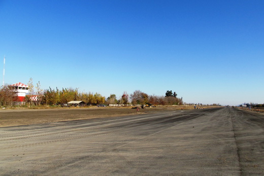
The airport is on the west side of the city. There is distant mountainous terrain east and west of the runway.
|
De la Independencia Aerodrome
|
|
|
| Summary |
| Airport type |
Military/Public |
| Serves |
Rancagua, Chile |
| Elevation AMSL |
1,597 ft / 487 m |
| Coordinates |
34°10′25″S
70°46′35″W |
| Map |
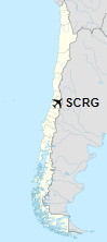
Location of De la Independencia Aerodrome in Chile
|
| Runways |
| Direction |
Length |
Surface |
| m |
ft |
| 03/21 |
1,600 |
5,249 |
Asphalt |
|
The above content comes from Wikipedia and is published under free licenses – click here to read more.
| General Info
|
| Country |
Chile
|
| ICAO ID |
SCRG
|
| Time |
UTC-4(-3DT)
|
| Latitude |
-34.173694
34° 10' 25.30" S
|
| Longitude |
-70.775694
070° 46' 32.50" W
|
| Elevation |
1446 feet
441 meters
|
| Type |
Military
|
| Magnetic Variation |
004° E (01/06)
|
| Operating Agency |
MILITARY
|
| Near City |
Rancagua
|
| Operating Hours |
SUNRISE TO SUNSET (SR-SS)
|
| Communications
|
RANCAGUA TWR
Opr 1230-SS Mon-Fri, OT 1300-SS.
|
118.3
|
| Runways
|
| ID |
Dimensions |
Surface |
PCN |
ILS
|
| 03/21 |
5414 x 75 feet
1650 x 23 meters |
ASPHALT |
- |
NO
|
| Supplies/Equipment
|
| Fuel |
80 octane gasoline, unleaded, No MIL Spec.
100/130 MIL Spec, low lead, aviation gasoline (BLUE)
|
| Remarks
|
| CAUTION |
Various obst in vcnty.
|
| FUEL |
(NC-80, 100LL)
|
| OPR HOURS |
Opr SR-SS.
|
| RSTD |
PPR.
|
The content above was published at Airports-Worldwide.com in 2020.
We don't guarantee the information is fresh and accurate. The data may be wrong or outdated.
For more up-to-date information please refer to other sources.
|
|