|
|
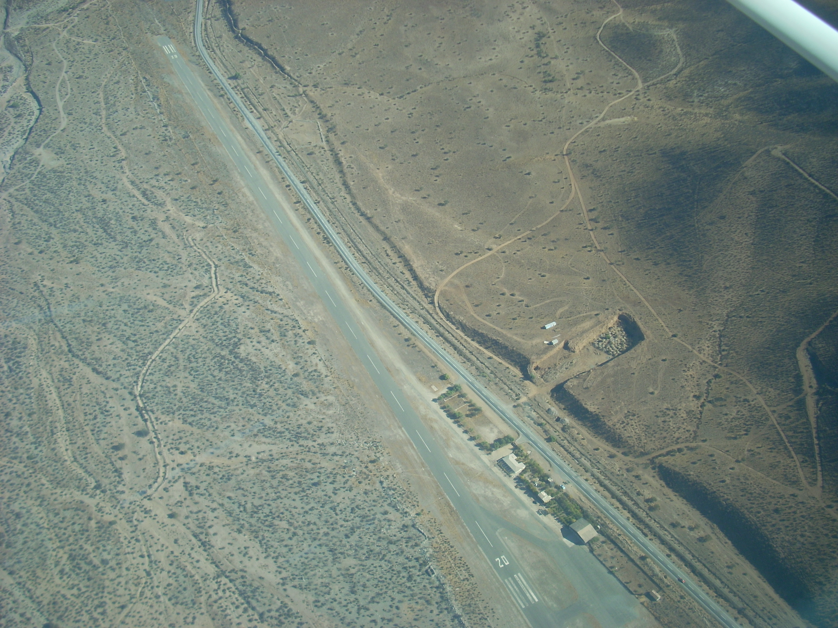
Aucó Airport Spanish: Aeropuerto de Aucó, (ICAO: SCIL) is an airport 8 kilometres (5.0 mi) northeast of Illapel, a city in the Coquimbo Region of Chile.
The runway is in a valley with low mountains in all quadrants, and nearby hills to the northwest.
|
Aucó Airport
|
|
|
| Summary |
| Airport type |
Public |
| Serves |
Illapel, Chile |
| Elevation AMSL |
1,420 ft / 433 m |
| Coordinates |
31°34′40″S
71°06′39″W |
| Map |
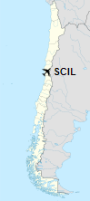
Location of Aucó Airport in Chile
|
| Runways |
| Direction |
Length |
Surface |
| m |
ft |
| 02/20 |
1,201 |
3,940 |
Asphalt |
|
| Helipads |
| Number |
Length |
Surface |
| m |
ft |
| 1 |
27 |
89 |
Asphalt |
|
The above content comes from Wikipedia and is published under free licenses – click here to read more.
| General Info
|
| Country |
Chile
|
| Time |
UTC-4 (-3DT)
|
| Latitude |
-31.577808
31° 34' 40.11" S
|
| Longitude |
-71.110828
071° 06' 38.98" W
|
| Elevation |
1420 feet
433 meters
|
| Magnetic Variation |
003° E (01/06)
|
| Operating Agency |
PRIVATE
|
| Near City |
Illapel
|
| Operating Hours |
SUNRISE TO SUNSET (SR-SS)
|
| Runways
|
| ID |
Dimensions |
Surface |
PCN |
ILS
|
| 02/20 |
3680 x 60 feet
1122 x 18 meters |
ASPHALT |
- |
NO
|
| Remarks
|
| CAUTION |
Hill lctd 3281' fr thld Rwy 02.
|
| OPR HOURS |
Opr SR-SS.
|
The content above was published at Airports-Worldwide.com in 2020.
We don't guarantee the information is fresh and accurate. The data may be wrong or outdated.
For more up-to-date information please refer to other sources.
|
|