 |
|
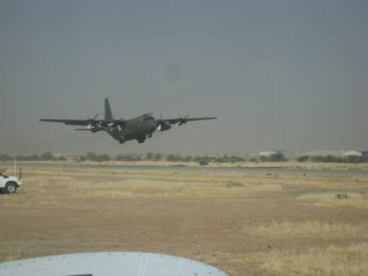
| Abéché Airport |
 |
| IATA: AEH – ICAO: FTTC |
| Summary |
| Airport type |
Public |
| Owner |
Government |
| Location |
Abéché, Chad |
| Elevation AMSL |
1,788 ft / 545 m |
| Coordinates |
13°50′49″N 020°50′39″E / 13.84694°N 20.84417°E / 13.84694; 20.84417Coordinates: 13°50′49″N 020°50′39″E / 13.84694°N 20.84417°E / 13.84694; 20.84417 |
| Runways |
| Direction |
Length |
Surface |
| m |
ft |
| 09/27 |
2,800 |
9,186 |
Asphalt |
| Source: DAFIF |
Abéché Airport (IATA: AEH, ICAO: FTTC) is an airport serving Abéché, the fourth largest city in Chad.
Airlines and destinations
| Airlines |
Destinations |
| Toumaï Air Tchad |
N'Djamena |
The above content comes from Wikipedia and is published under free licenses – click here to read more.
| General Info
|
| Country |
Chad
|
| ICAO ID |
FTTC
|
| Time |
UTC+1
|
| Latitude |
13.847000
13° 50' 49.20" N
|
| Longitude |
20.844333
020° 50' 39.60" E
|
| Elevation |
1788 feet
545 meters
|
| Type |
Civil
|
| Magnetic Variation |
001° E (01/06)
|
| Operating Agency |
CIVIL GOVERNMENT, (LANDING FEES AND DIPLOMATIC CLEARANCE MAY BE REQUIRED)
|
| Operating Hours |
SUNRISE TO SUNSET (SR-SS)
|
| Communications
|
| TWR |
118.1
|
| Communications Remarks |
|
| TWR |
Provides APP.
|
| Runways
|
| ID |
Dimensions |
Surface |
PCN |
ILS
|
| 09/27 |
9186 x 98 feet
2800 x 30 meters |
ASPHALT |
- |
NO
|
| Navaids
|
| Type |
ID |
Name |
Channel |
Freq |
Distance From Field |
Bearing From Navaid
|
| VOR |
AE |
ABECHE |
- |
114.5 |
At Field |
-
|
| Remarks
|
| OPR HOURS |
Opr SR-SS.
|
The content above was published at Airports-Worldwide.com in 2010.
We don't guarantee the information is fresh and accurate. The data may be wrong or outdated.
For more up-to-date information please refer to other sources.
|
|


