 |
|
Poverty Valley Aerodrome, (TC LID: CPV9), is a small aerodrome located near Poverty Valley, Saskatchewan, Canada. This location is near Saskatchewan Highway 612 south of Neidpath, Saskatchewan. McMahon is to the west, and Hodgeville to the east. Swift Current is the nearest large center to the north west on the Trans Canada Highway.
|
Poverty Valley Aerodrome |
- IATA: none
- ICAO: none
- TC LID: CPV9
|
| Summary |
| Airport type |
Public |
| Operator |
N. Amthor |
| Location |
Whiska Creek No. 106, near Poverty Valley, Saskatchewan |
| Time zone |
CST (UTC−06:00) |
| Elevation AMSL |
2,440 ft / 744 m |
| Coordinates |
50°02′20″N
107°15′22″W |
| Map |
|
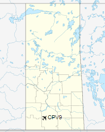
Location in Saskatchewan
|
| Runways |
| Direction |
Length |
Surface |
| ft |
m |
15/33 |
1,592 |
485 |
Grass |
|
|
Sources: Canada Flight Supplement |
The above content comes from Wikipedia and is published under free licenses – click here to read more.
The content above was published at Airports-Worldwide.com in 2019.
We don't guarantee the information is fresh and accurate. The data may
be wrong or outdated.
For more up-to-date information please refer to other sources.
|
|


