 |
|
Joliette Airport, (TC LID: CSG3), is located 2.2 nautical miles (4.1 km; 2.5 mi) northwest of Joliette, Quebec, Canada.
| Joliette Airport |
- IATA: none
- ICAO: none
- TC LID: CSG3
|
| Summary |
| Airport type |
Public |
| Operator |
Aero-Club de Joliette Inc |
| Location |
Joliette, Quebec |
| Time zone |
EST (UTC−05:00) |
| Summer (DST) |
EDT (UTC−04:00) |
| Elevation AMSL |
225 ft / 69 m |
| Coordinates |
46°02′41″N
073°30′06″W |
| Map |
|
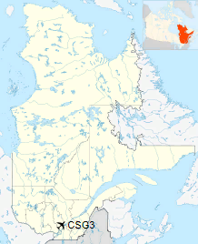
Location in Quebec
|
| Runways |
| Direction |
Length |
Surface |
| ft |
m |
15/33 |
3,109 |
948 |
Asphalt |
|
The above content comes from Wikipedia and is published under free licenses – click here to read more.
| General Info
|
| Country |
Canada
|
| Time |
UTC-5(-4DT)
|
| Latitude |
46.045000
46° 02' 42.00" N
|
| Longitude |
-73.501667
073° 30' 06.00" W
|
| Elevation |
225 feet
69 meters
|
| Magnetic Variation |
015° W (01/06)
|
| Operating Agency |
PRIVATE
|
| Operating Hours |
24 HOUR OPERATIONS
|
| Daylight Saving Time |
Second Sunday in March at 0200 to first Sunday in November at 0200 local time (Exception Arizona and that portion of Indiana in the Eastern Time Zone)
|
| Communications
|
CTAF/UNICOM
Opr ltd hr.
|
123.5
|
| Runways
|
ID
|
Dimensions |
Surface |
PCN |
ILS
|
| 15/33 |
3250 x 75 feet
991 x 23 meters |
ASPHALT |
- |
NO
|
| Supplies/Equipment
|
| Fuel |
100/130 MIL Spec, low lead, aviation gasoline (BLUE)
|
| Remarks
|
| CAUTION |
PJE at afld to 12,500', 1300-0100Z++. Ultralight haz.
|
| FUEL |
(NC-100LL - Avbl 1200-2000Z++ Mon-Fri.)
|
| LGT |
ACTIVATE-MIRL Rwy 15-33-CTAF.
|
| MISC |
Ltd win maint.
|
The content above was published at Airports-Worldwide.com in 2018.
We don't guarantee the information is fresh and accurate. The data may
be wrong or outdated.
For more up-to-date information please refer to other sources.
|
|


