 |
|
Pikangikum Airport, (IATA: YPM, ICAO: CYPM), is located 1 nautical mile (1.9 km; 1.2 mi) northeast of the First Nations community of Pikangikum, Ontario, Canada.
| Pikangikum Airport |
|
|
| Summary |
| Airport type |
Public |
| Operator |
Government of Ontario |
| Location |
Pikangikum First Nation |
| Time zone |
CST (UTC−06:00) |
| Summer (DST) |
CDT (UTC−05:00) |
| Elevation AMSL |
1,117 ft / 340 m |
| Coordinates |
51°49′11″N
093°58′24″W |
| Map |
|
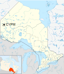
Location in Ontario
|
| Runways |
| Direction |
Length |
Surface |
| ft |
m |
09/27 |
3,508 |
1,069 |
Gravel |
|
Airlines and destinations
| Airlines |
Destinations |
| Perimeter Aviation |
Sandy Lake, Sioux Lookout, Winnipeg |
| Wasaya Airways |
Winnipeg |
The above content comes from Wikipedia and is published under free licenses – click here to read more.
The content above was published at Airports-Worldwide.com in 2018.
We don't guarantee the information is fresh and accurate. The data may
be wrong or outdated.
For more up-to-date information please refer to other sources.
|
|


