 |
|
Peawanuck Airport, (IATA: YPO, ICAO: CYPO), is located adjacent to Peawanuck, Ontario, Canada.
| Peawanuck Airport |
- IATA: YPO
- ICAO: CYPO
- WMO: 71434
|
| Summary |
| Airport type |
Public |
| Operator |
Government of Ontario |
| Location |
Peawanuck, Ontario |
| Time zone |
EST (UTC−05:00) |
| Summer (DST) |
EDT (UTC−04:00) |
| Elevation AMSL |
173 ft / 53 m |
| Coordinates |
54°59′17″N
085°26′36″W |
| Map |
|
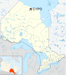
Location in Ontario
|
| Runways |
| Direction |
Length |
Surface |
| ft |
m |
11/29 |
3,518 |
1,072 |
Gravel |
|
Airlines and destinations
| Airlines |
Destinations |
| Air Creebec |
Attawapiskat, Fort Albany, Kashechewan, Moosonee, Timmins |
| Thunder Airlines |
Attawapiskat, Fort Albany, Kashechewan, Moosonee, Timmins |
Air Creebec and Thunder Air (contractor with ORNGE) offers fixed wing air ambulance transfers to Ontario and Quebec.
The above content comes from Wikipedia and is published under free licenses – click here to read more.
The content above was published at Airports-Worldwide.com in 2018.
We don't guarantee the information is fresh and accurate. The data may
be wrong or outdated.
For more up-to-date information please refer to other sources.
|
|


