 |
|
Kasabonika Airport, (IATA: XKS, ICAO: CYAQ), is an airport located 1 NM (1.9 km; 1.2 mi) west of the First Nations community of Kasabonika, Ontario, Canada.
| Kasabonika Airport |
|
|
| Summary |
| Airport type |
Public |
| Operator |
Government of Ontario |
| Location |
Kasabonika First Nation |
| Time zone |
CST (UTC−06:00) |
| Summer (DST) |
CDT (UTC−05:00) |
| Elevation AMSL |
672 ft / 205 m |
| Coordinates |
53°31′29″N
088°38′35″W |
| Map |
|
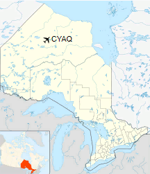
Location in Ontario
|
| Runways |
| Direction |
Length |
Surface |
| ft |
m |
03/21 |
3,520 |
1,073 |
Gravel |
|
|
Sources: Canada Flight Supplement |
The above content comes from Wikipedia and is published under free licenses – click here to read more.
The content above was published at Airports-Worldwide.com in 2018.
We don't guarantee the information is fresh and accurate. The data may
be wrong or outdated.
For more up-to-date information please refer to other sources.
|
|


